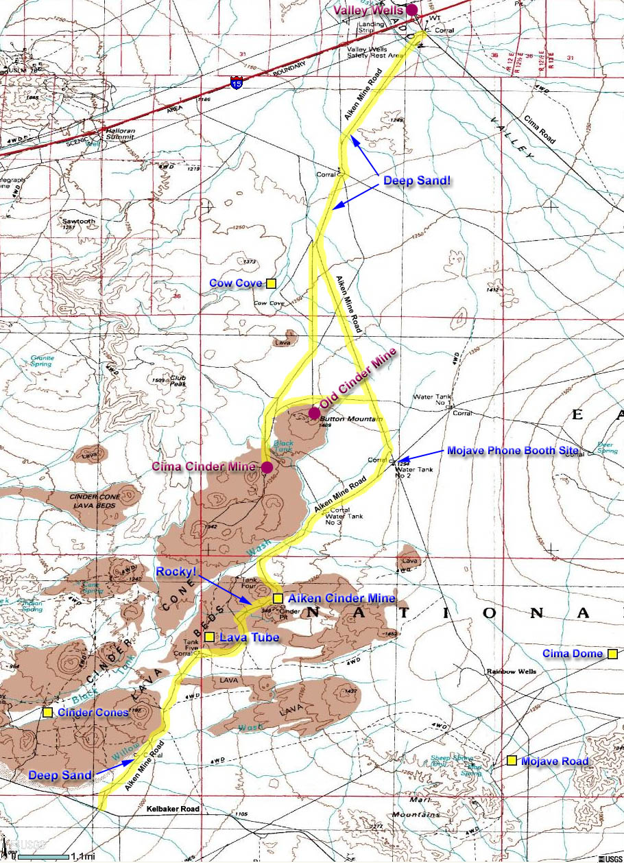
Area Map
Note: This is the same Area Map used for the
Aiken Mine Road Trip.
You may need to use the scrollbar
at the bottom of your screen to see the entire map.
Back to Top or back to
Aiken Cinder Mine

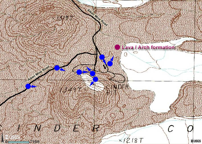
Interactive View Map
You may need to use the
scrollbar at the bottom of your screen to see the entire map.
Back to Top or back to
Aiken Cinder Mine
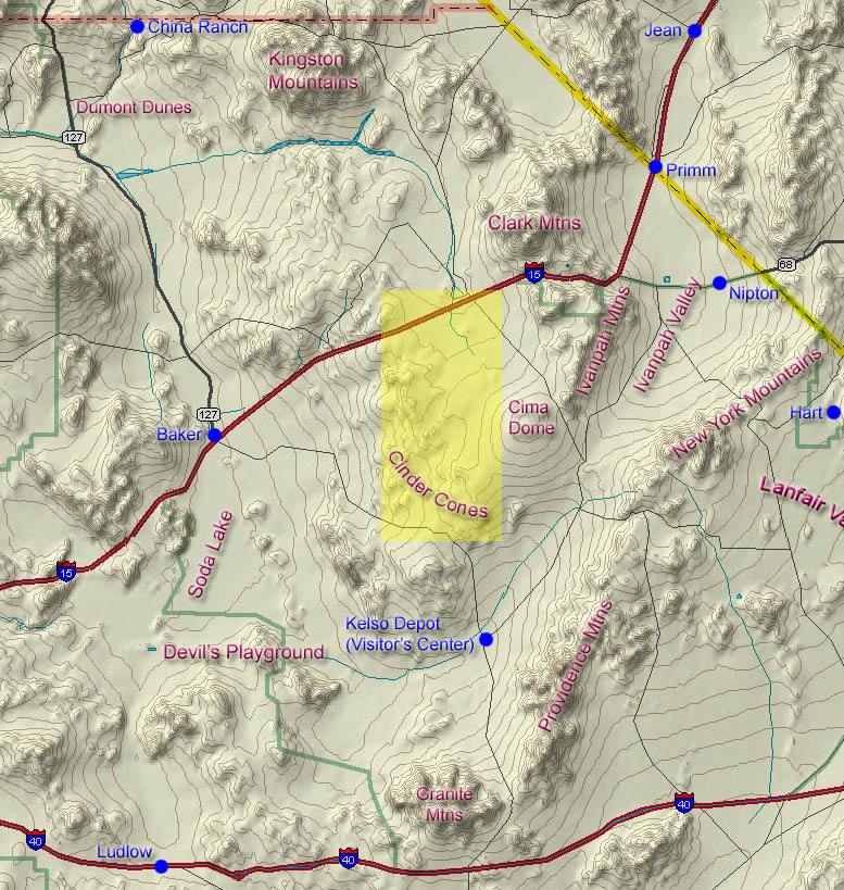
General Overview Map
You may need to use the scrollbar
at the bottom of your screen to see the entire map.
Back to Top or back to
Aiken Cinder Mine
Back to
Sample Trips
Last updated
March 14, 2011.