Edwards Air Force Base Area Maps
Here are four maps to help you plan your trip and give you an overall idea
of the area.
 |
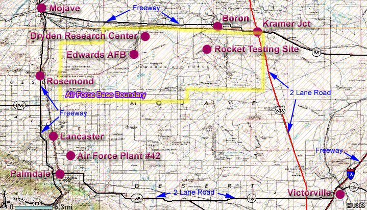
The
Area Map shows the various road and place names
mentioned in Getting There. |
|
|
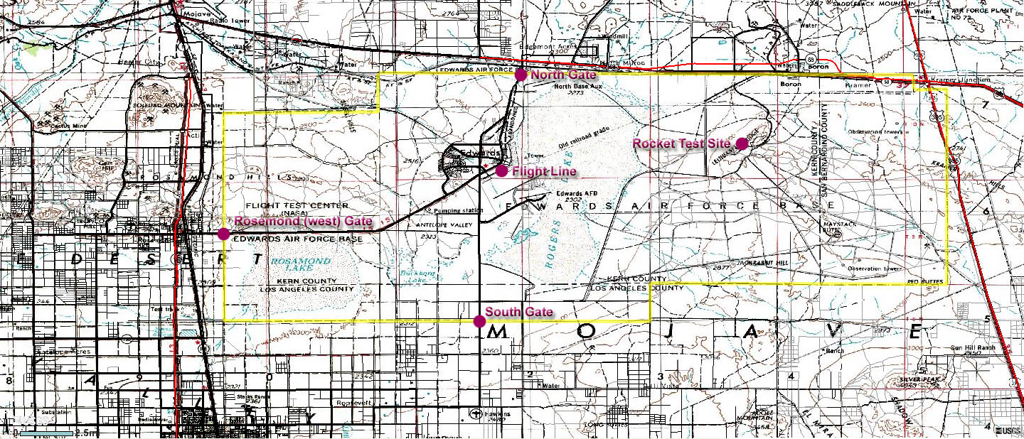
The
Closer Area Map shows
more detail of the large area covered by Edwards AFB. |
|
|
The
Aerial View
aerial photo imagery from the Google Maps website. |
|
|
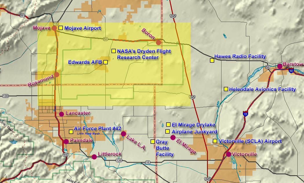
The yellow shaded area on the
General Overview
Map shows you where you are
in relation to the area covered by this Guide. |
|
Use if applicable: You may need to use the scrollbar at the
bottom of your screen to see the entire map.
Back to top or Back to
Edwards AFB
Use if applicable: You may need to use the scrollbar at the
bottom of your screen to see the entire map.
Back to top or Back to
Edwards AFB
| Use the outstanding aerial photography available from the
Google Maps website to see detailed imagery of what it looks like around
Edwards AFB. Can you find the two SR-71 Blackbirds parked next to each
other at the Dryden Research Center? Can you locate all the runway
lines etched into the dry lake? To get a closer look, be sure to use
the zoom-in scroll bars at the left of the image. |
The yellow shaded area shows you where you are
in relation to the area covered by the Aviation in the Mojave Desert
Virtual Guide.
Back to top or Back to
Edwards AFB
|