|
Scotty's Canyon Maps
Here are
four maps to help you plan your trip and give you
an overall idea of the area.
 |
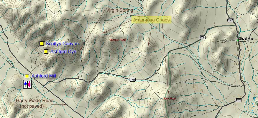
The
Area Map shows the various road and place names
mentioned in Getting There. |
|
|
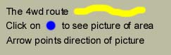
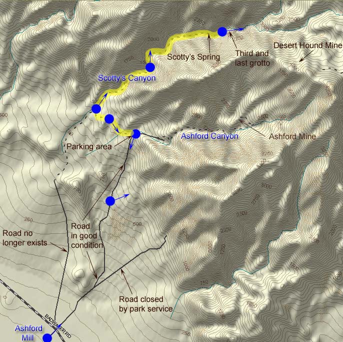
The Interactive View Map
shows the route we took as described in The Hike. Be sure to use our "blue
dot" feature to see a picture taken from that spot (see
Instructions). |
|
|
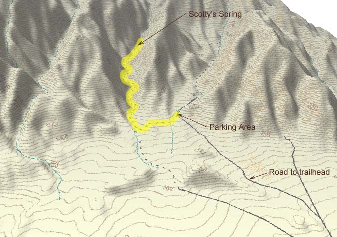
The
3D Topographical Map shows the area in a
three-dimensional view. |
|
|
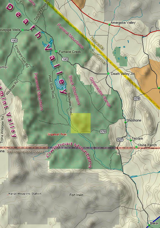
The yellow shaded area on the
General Overview
Map shows you where you are
in relation to Death Valley as a whole. |
|
Area Map:
You may need to use the scrollbar at the
bottom of your screen to see the entire map.
Back to top of
page or Back to Scotty's Canyon

Back to top of
page or Back to Scotty's Canyon
Back to top of
page or Back to Scotty's Canyon
General Overview Map:
Back to top of
page or Back to Scotty's Canyon
Back to
Trip of the Month
Last updated
March 14, 2011.
|