Historic Rock Walls of Leeds & Silver Reef
The Silver Reef Foundation and the Washington County Historical Society are sponsoring an all-volunteer project to create a historical record of the rock walls (a.k.a. stone walls) of Leeds. The objective of the Rock Walls of Leeds project is to create a visual and, if known, written historical record of as many of the rock walls as feasible. We intend to gather and organize the results of our research into a written report, compile a map of the most prominent rock walls in Leeds, and create an exhibit of this project for display in the Rice Bank building in Silver Reef. Our first research method is to use recent Google Earth imagery to visually locate the most visible rock walls in Leeds.
Below are examples of rock walls from the 1880s near Silver Reef.
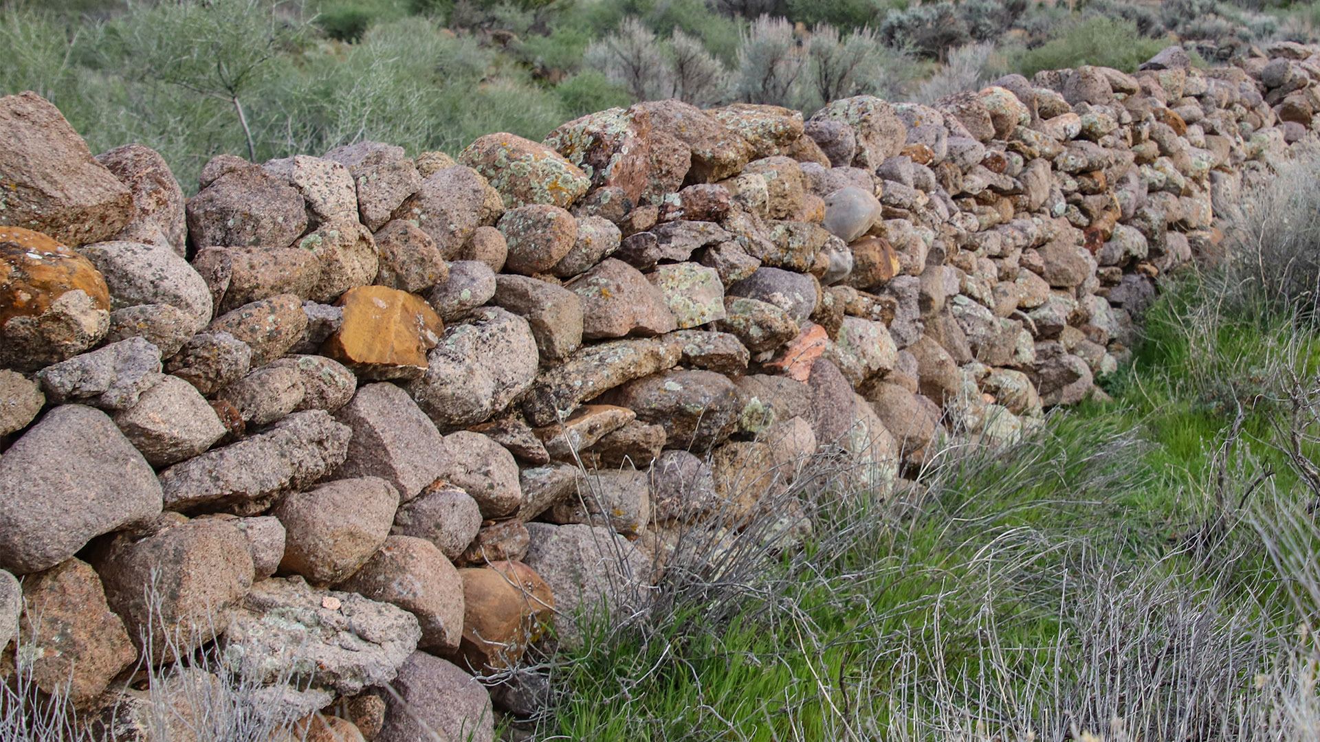
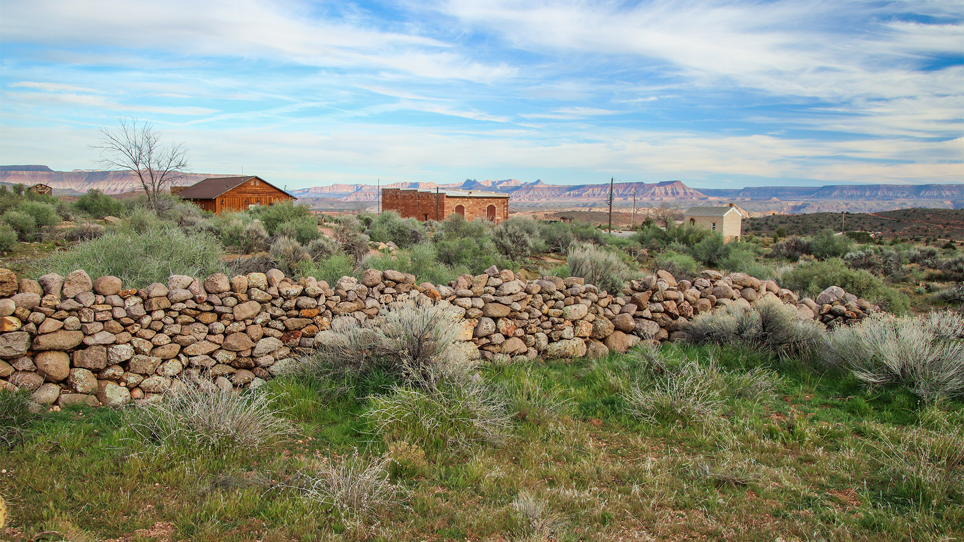
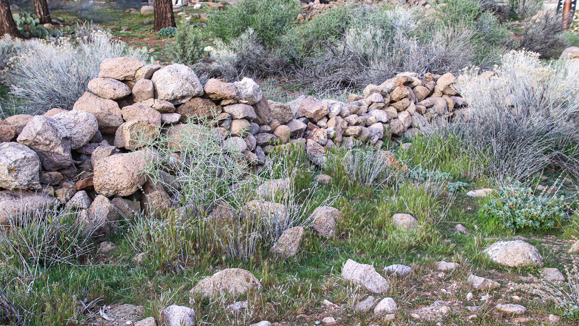
This project is designed to be interactive with the property owners of Leeds who wish to participate. We will respect the privacy of the property owners who do not wish to participate. If you are the property owner of a rock wall in Leeds and you wish to participate in this project, please send an email to leedswalls@gmail.com. We will need to request and receive your permission to photograph your rock wall and to interview you about its history. So, please include your name, mailing address and contact information in your email. You may attach them to an email to the above address. We would be happy to photograph your rock wall and interview you at your convenience. Please contact us to schedule an appointment if you would like us to photograph your rock wall.
Use of Google Maps
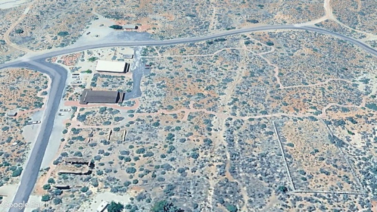
Locating and viewing historic work walls is made much easier with both Google Maps and Google Earth. Maps provides a straight-down map view of the walls, whereas Earth provides a 3D and interactive view from different angles.
Once more walls are identified by residents, we will begin to map them so that they will be plotted on a Google Maps, such as the one below. The two maps below show examples of walls located in Leeds and in the historic Silver Reef townsite. As more walls are identified, they will be added to these maps for the public to view.
Interact With the Map
Interact with both maps by:
- Click mouse cursor on red dot to reveal description.
- Click and hold map to move and scroll around.
- Zoom in and out of map by holding Ctrl key and using mouse wheel.
- View map full-screen by clicking box-looking button in upper-right corner of map.
Leeds
The map below shows a wall on the northeast side of Leeds. This particular one climbs the ridge on the east side of town. It was probably used for corralling sheep.
Silver Reef
The below map plots two walls behind the Silver Reef museum.
Use of LIDAR Technology
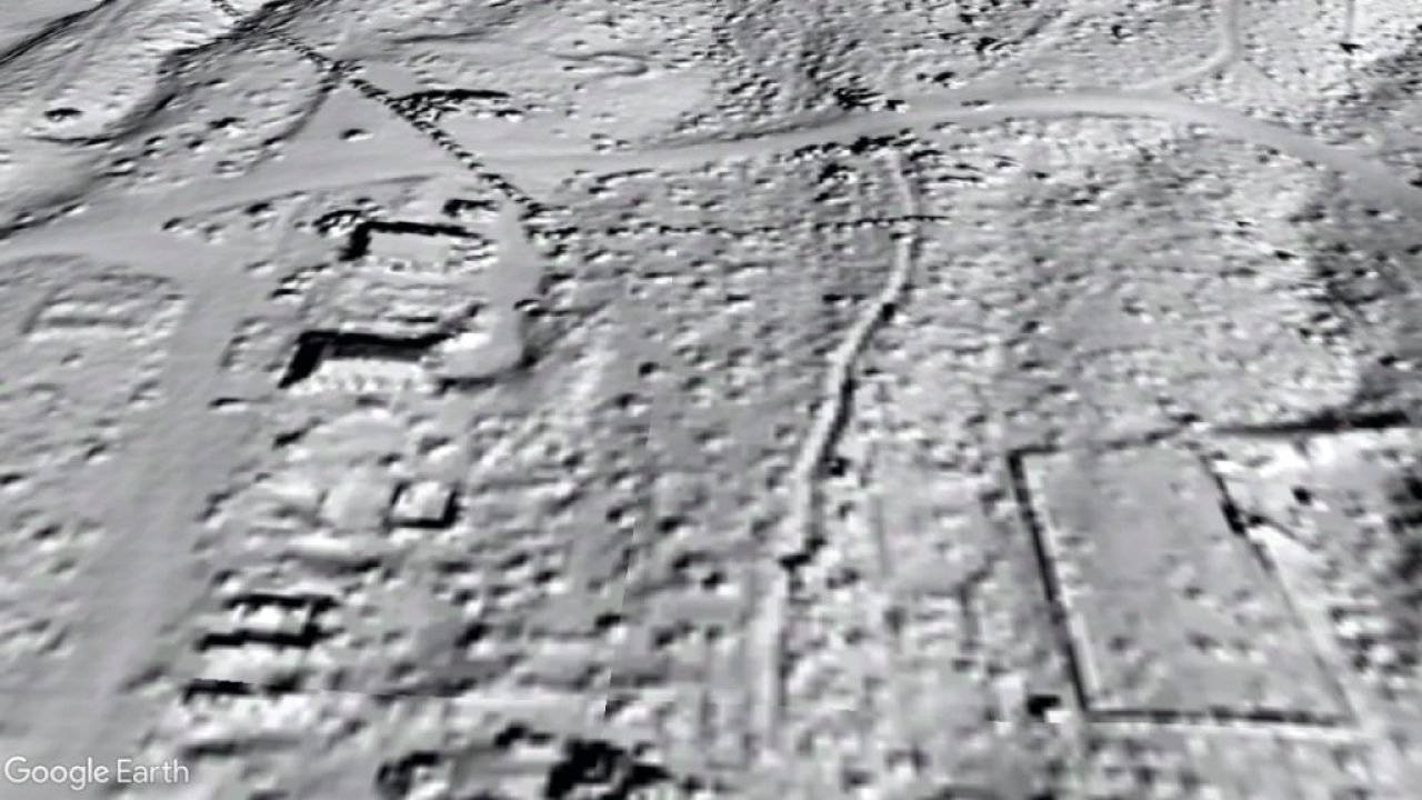
When we began working on the Rock Walls of Leeds project, technology known as LIDAR (Light Detection and Ranging) that is available from the United States Geological Survey (USGS), was used. A LIDAR image of the town of Leeds and Silver Reef were acquired and viewed as an overlay using Google Earth. Comparing the LIDAR image with the standard aerial imagery on Google Earth provided a unique way to study any landscape and its features.
However, the LIDAR image proved to be less clear or detailed as we hoped. As a result, we are planning on simply using the free Google Maps & Earth imagery to catalog and plot the historic walls around Leeds.
Slider
Below is a “slider” that allows for the comparison of two images. One image is from Google Earth, whereas the other is the LIDAR image, also plotted using Google Earth. Use the slider by clicking and holding your mouse cursor over the divider and sliding it horizontally back and forth.
About this Webpage
This webpage was developed by and is currently “parked” courteously of BackRoadsWest.com by content developer, Cliff Bandringa. The webpage’s text was written, and project administered by, Ron Carberry. Once the project is complete and a permanent home (website) is found for it, the webpage will be moved to another website.