|
|
Milford Sound
Getting ThereMilford Sound [Google search] is a long distance from any town. From the tourist center of Queenstown [Google search], it is a 5 hour one-way drive. Many excursions for tourists originate from Queenstown and make the round trip to Milford Sound in a day trip, limiting the time spent at Milford Sound to just a 2-3 hours. These excursions in Queenstown typically leave by 7am.
To eliminate this exhausting one day trip, there are several alternatives. One is to cover half of the trip from Queenstown by aircraft. Not only does it cut the one-way trip down from 5 hours to 45 minutes, but flying over Milford Sound and the surrounding Southern Alps is a spectacular experience. Another method would be to stay overnight in Te Anau [Google search], which is only 75 miles (120 km) from Milford Sound. Undoubtedly the best way to lengthen out the trip would be to stay at one of the hotels in Milford Sound. Because of the limited number of rooms available, it would be strongly suggested to make arrangements far ahead of your visit. Staying overnight in either Milford Sound or Te Anau will also allow you to spend more time on the road between Te Anau and Milford Sound which is also very scenic. This would allow for a stop to enjoy Hollyford Valley as well as the many beautiful views when the road crosses the ridge of the alps near Homer Tunnel. The road(s) between Queenstown, Te Anau and Milford Sound are very good. Highway 94 between Te Anau and Milford Sound goes through considerable mountain terrain and can be affected by snow during the colder seasons. If you can afford the time, enjoy the scenery found alongside this road.
|
|
|
Panorama of Milford Sound taken near the middle of the
sound. (you may need to use the scroll bar at the bottom of your screen) |
|
|
Same as previous picture but with callouts. (you may need to use the scroll bar at the bottom of your screen) |
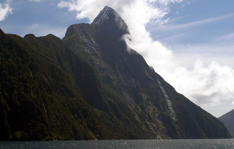 |
Full picture of Mitre Peak. The edge of Milford Sound drops another 900 feet (290 m) below the water's surface. |
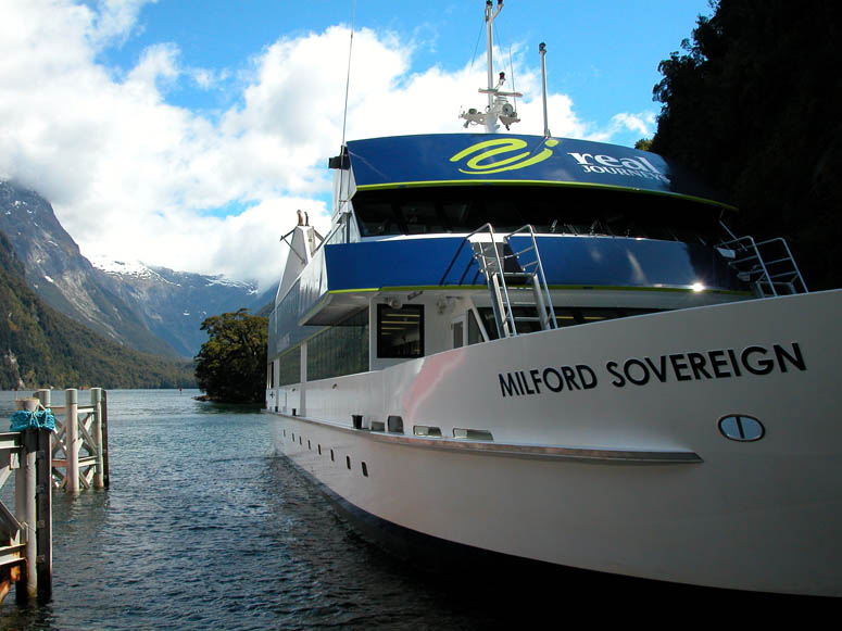 |
Our tour was booked through Real Journeys. Their bus, complete with rooftop windows for viewing the high mountain peaks, picked us up in Queenstown. Real Journeys has been operating tours to Milford Sound for quite some time. |
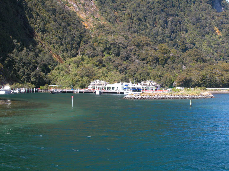 |
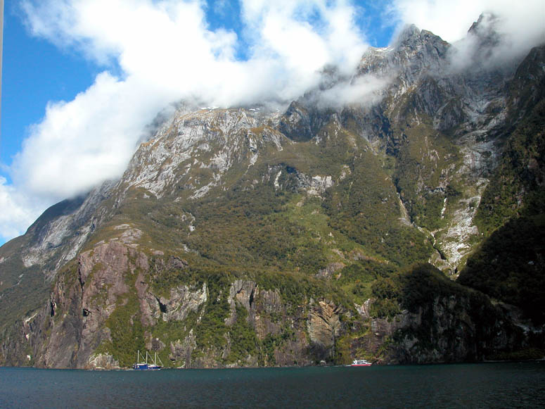
Looking back at the dock from where the tour boats depart. Because of the number of tourists leaving here for a tour, it is the second busiest seaport in New Zealand! |
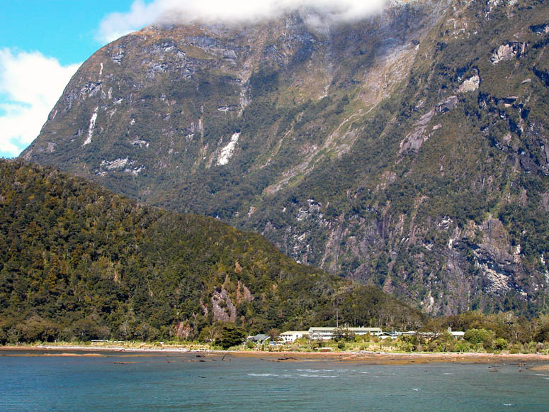 |
Near the dock is a visitor's center and hotel. |
 |
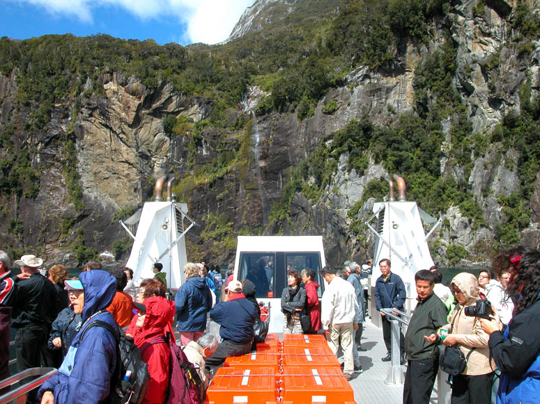
Soon after leaving the dock, Bowen Falls comes into view. |
 |
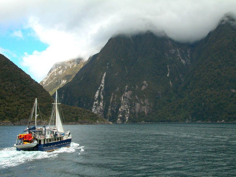
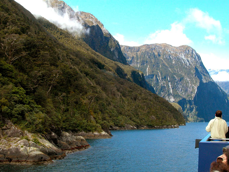
After enjoying a buffet lunch on the Milford Sovereign, we went topside to enjoy Milford Sound's splendid scenery. |
 |
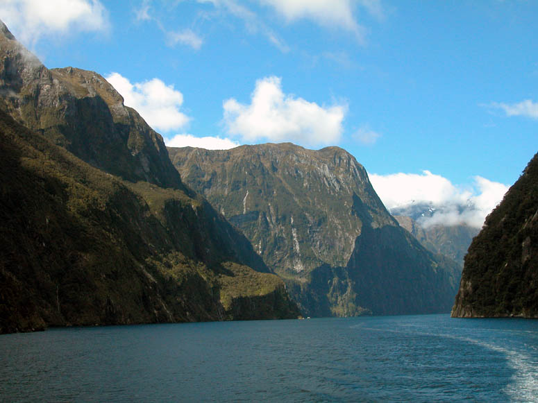
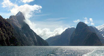
Some of the sheer high cliffs are reminiscent of California's Yosemite Valley. Many of the cliffs on both sides of the sound tower up 1,000 to 3,000 (300 to 1,000 m) feet from the water's surface. |
 |
Looking back up the sound as we stay close to the southern shore and ready to encounter some waterfalls. |
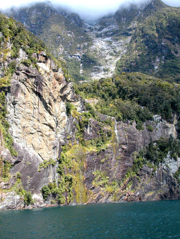 |
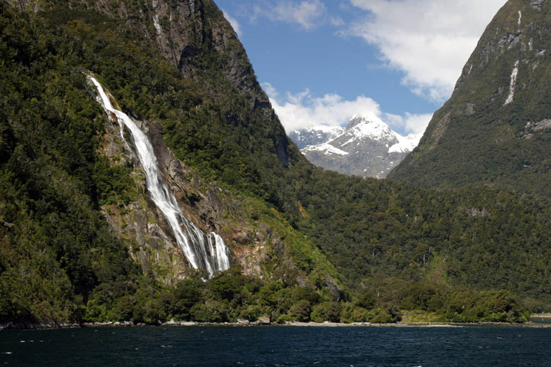
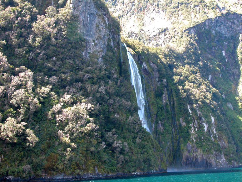
On the south shore, tilting your neck upwards reveals a rainforest clinging to the steep cliffs of Mitre Peak. Can you spot the waterfall? As it falls, the water seems to evaporate and disappear before it reaches the bottom. |
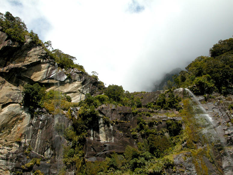 |
The Milford Sovereign is able to get real close to the face of the cliffs which makes for some unusual and possibly wet encounters with the waterfalls. |
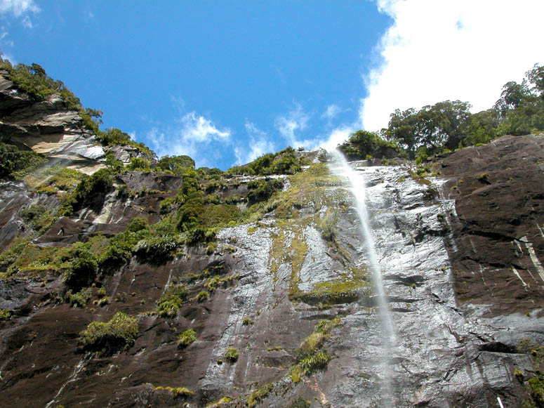 |
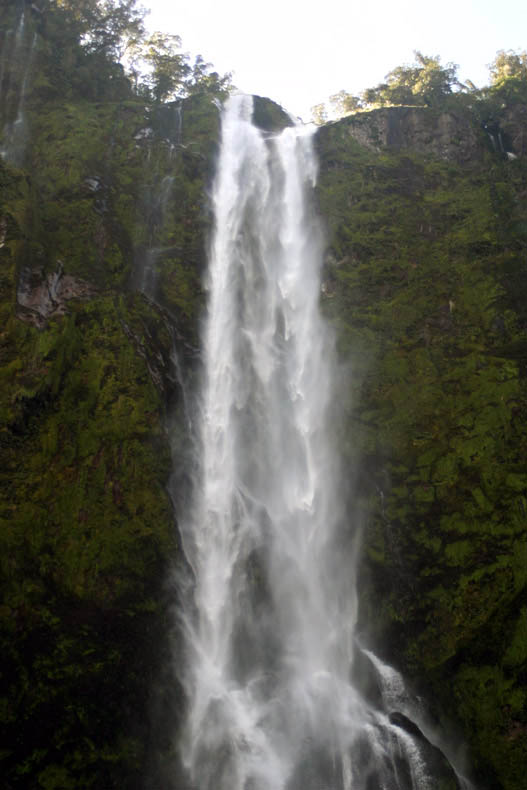
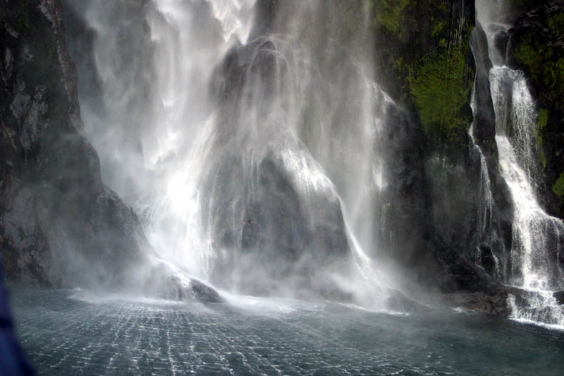
Looking up at the face of the waterfall. |
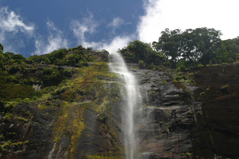 |
A closer look at the stream of water coming down. |
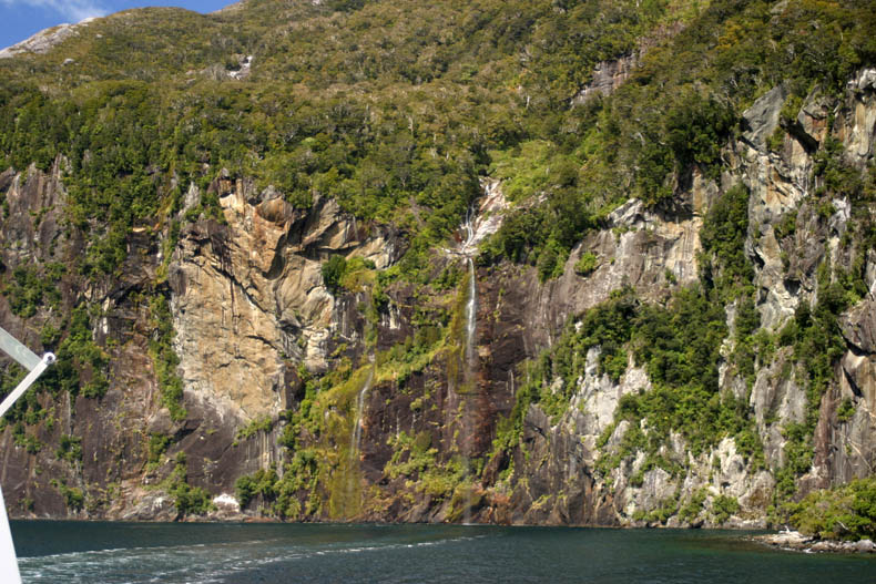 |
Pulling away from the waterfall, you can now see water reaching the sound. |
 |
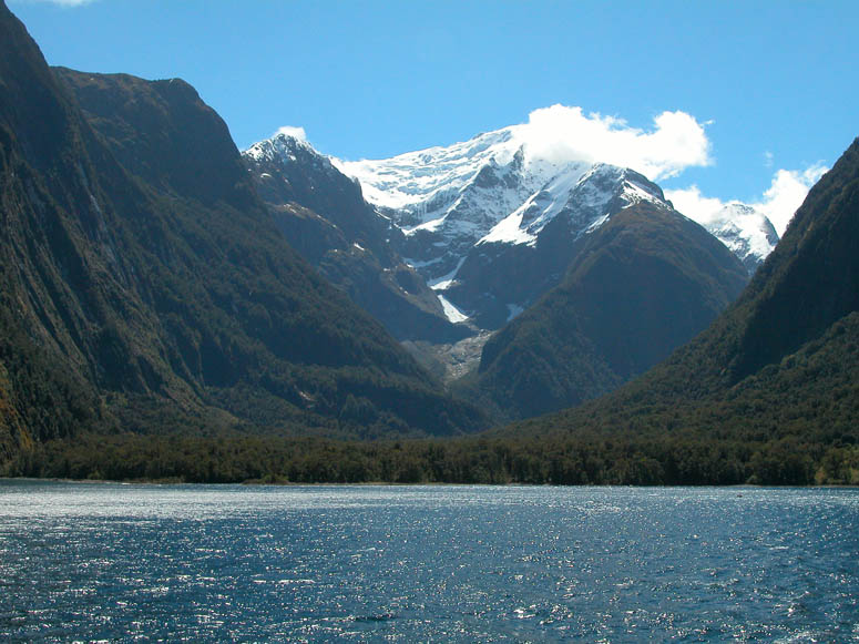
As explained in What's There, Milford Sound was created by glaciation, just like other long and skinny valleys in New Zealand's south island. In this picture, the glacier left its mark by carving the obvious indentation on the cliff seen on the left. |
 |
As long as it's not raining (it rains frequently in Milford Sound), the best views are experienced on the top of the boat. |
 |
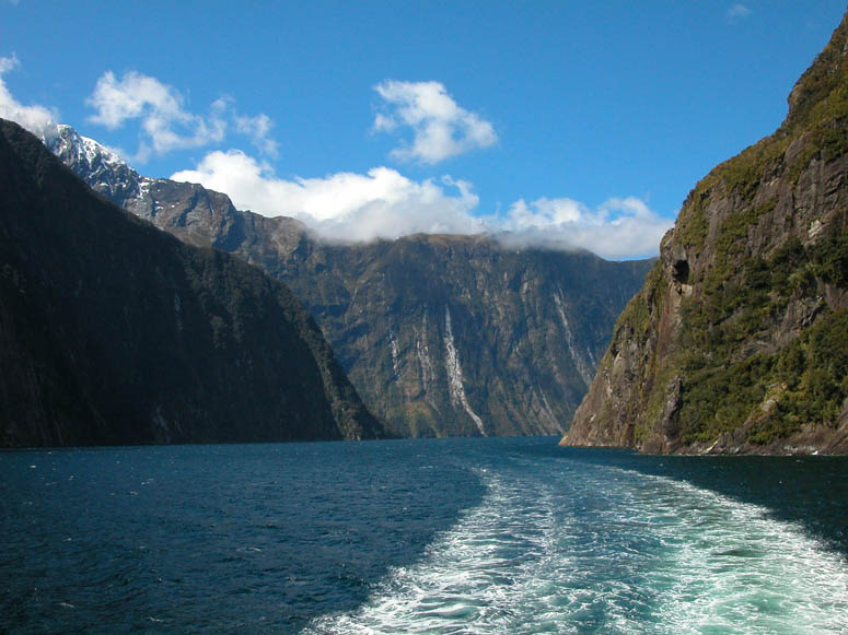
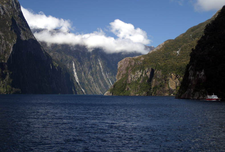
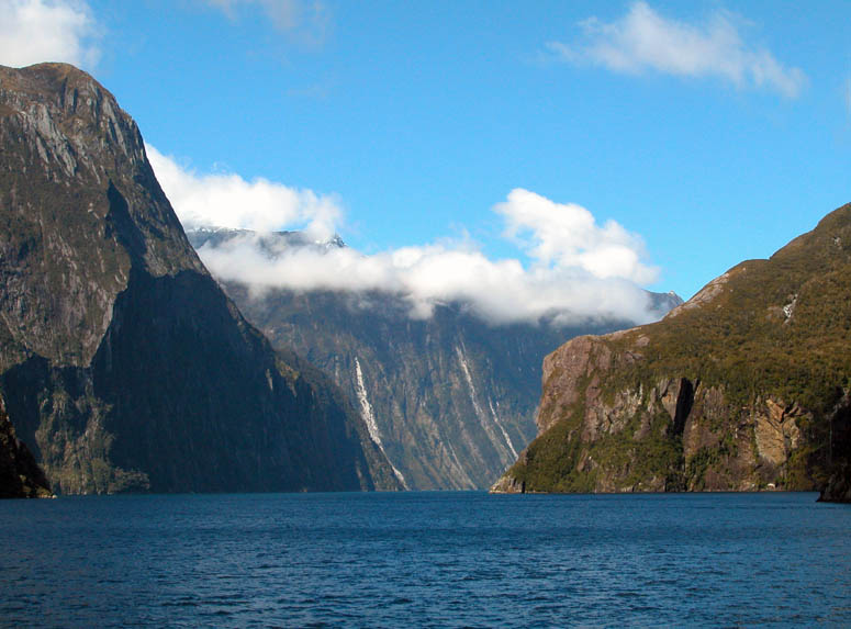
Looking back at Milford Sound at about three quarters of the way out to ocean. Bowen Falls can be seen in the far distance. |
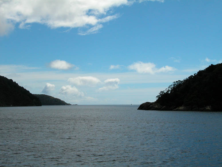 |
Approaching Anita Bay, which is Milford Sound's entrance to the Tasman Sea. View is to the northwest. |
 |
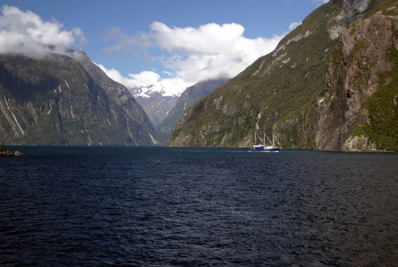
Now almost all the way out into the ocean, this is the view looking back into Milford Sound. |
 |
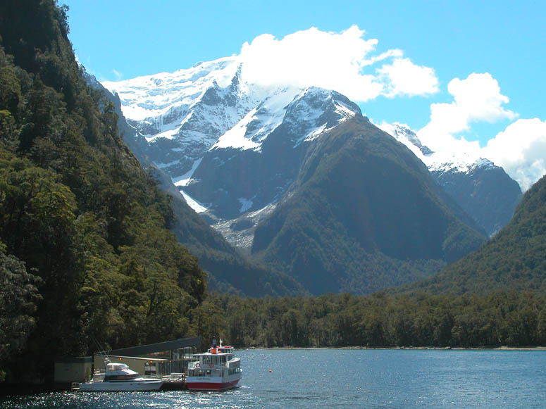
One of the small cruising vessels from Real Journeys where guests can stay overnight onboard. If you wish to stay longer and see more at Milford Sound, this is the way to go. |
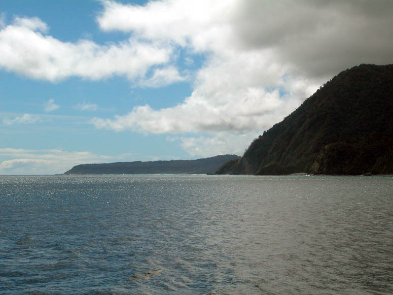 |
Looking north up the coastline of the Tasman Sea at the entrance to Milford Sound. |
 |
Coming back in, our cruise takes us now on the opposite side or north side of Milford Sound. |
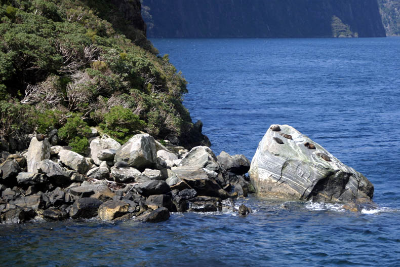 |
The Milford Sovereign comes in close to some rocks where there seems to be some wildlife present. |
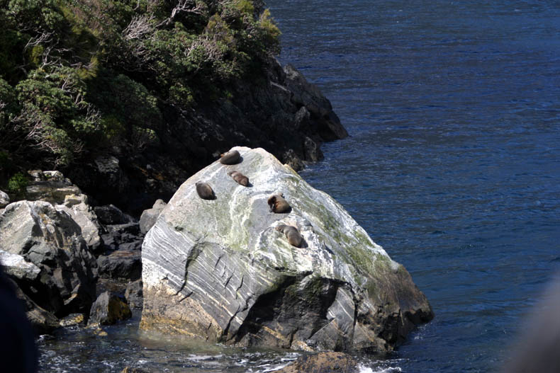 |
Sure enough, there are some seals taking in the sun on some rocks. |
 |
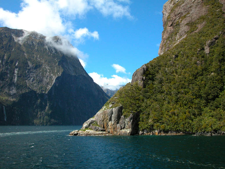
Further out of the sound, here is another view looking into Milford Sound. |
 |
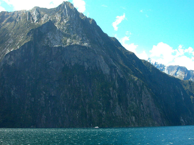
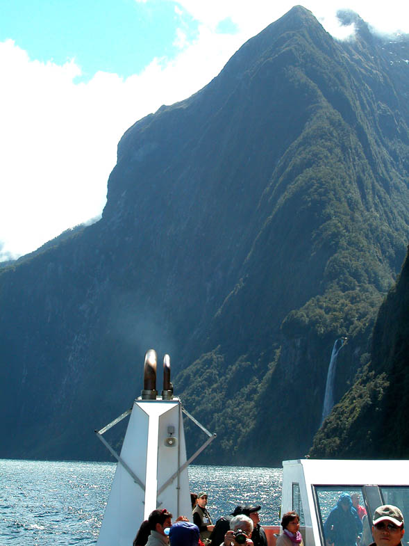
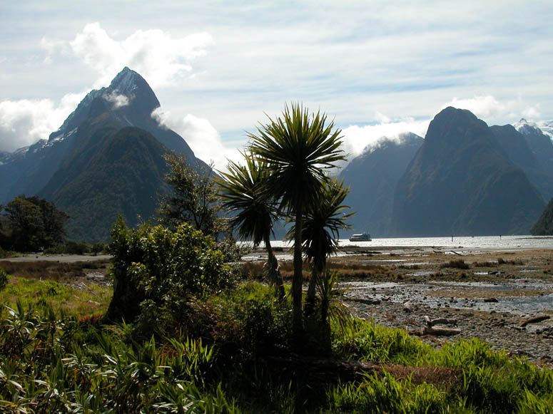
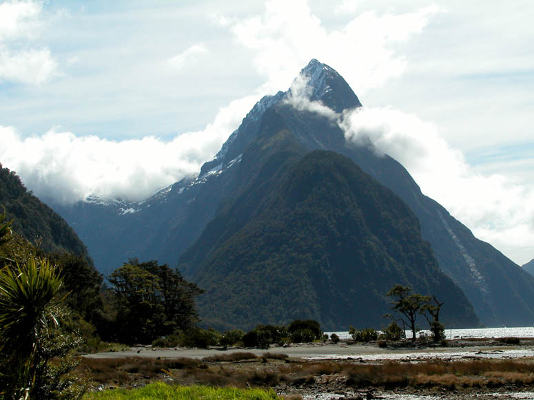
Looking across the sound at the face of Mitre Peak. The top of the peak is about 5,500 feet (1,676 m) which is quite a vertical span from sea level. |
 |
Situated on the north shore, Stirling Falls is one of the largest waterfalls in Milford Sound. |
 |
View of the top of the falls. |
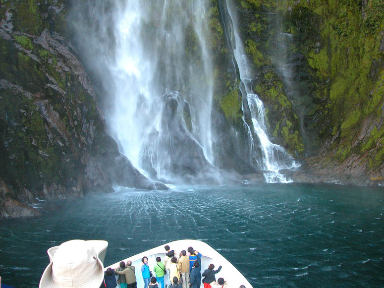 |
The Milford Sovereign maneuvers in close to the bottom of the falls. Soon, there will be many screams coming from the front of the ship as many of the people become wet. |
 |
A closer look at the bottom of the waterfall. |
 |
The Milford Sovereign steams away from the waterfall. |
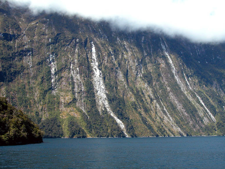 |
The walls of this cliff have vertical stripes most likely created by different patches of vegetation that is able to cling to the rock. |
 |
Harrison Cove and the Milford Deep Underwater Observatory. This facility allows tourists to easily view life under the waters of Milford Sound. |
 |
Looking up Harrison Cove and 6,610 foot (2,015 m) Mt. Pembroke behind it. |
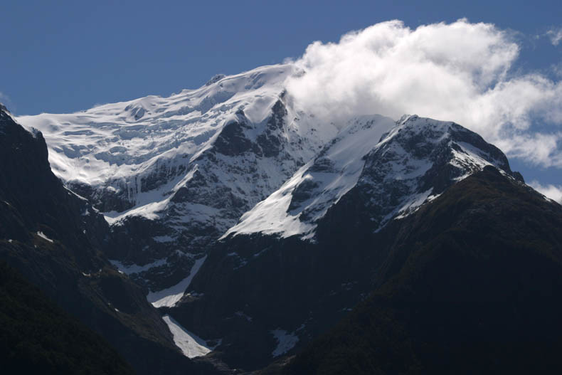 |
A closer look at Mt. Pembroke and its series of small glaciers. |
 |
Back near the road's end and the airport, short hiking trails can take you for some unique views of the mountains. |
 |
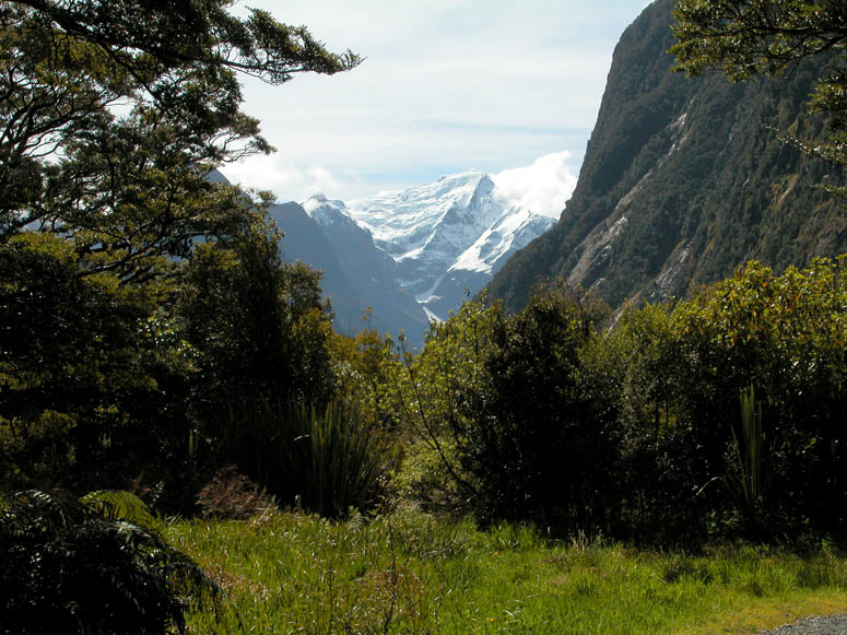
A view of contrasts showing the temperate rainforest and the alpine scenery. |
 |
Mitre Peak as seen from one of the short hiking trails. |
Back to Photo Tour, back to Top of Page or Home
|
Copyright
© 2007, BackRoadsWest.com |

 When
comparing all of the scenic regions on the South Island, the incredible Milford
Sound easily beats them all with its stunningly beautiful landscape. This beauty makes it the reason why it is the most visited
spot in all of New Zealand. Therefore, when visiting the South Island, it
should be mandatory to include a trip to Milford Sound. It
would be like going to Yellowstone National Park and not seeing Old Faithful. In a way, Milford Sound is similar to California's Yosemite
Valley. It is a long glacially carved valley with steep and impressive
granite walls on each side. The only difference from Yosemite is that
Milford Sound is filled with water from the ocean. Milford Sound is
located within Fiordland National Park which occupies the southwest corner of
the South Island.
When
comparing all of the scenic regions on the South Island, the incredible Milford
Sound easily beats them all with its stunningly beautiful landscape. This beauty makes it the reason why it is the most visited
spot in all of New Zealand. Therefore, when visiting the South Island, it
should be mandatory to include a trip to Milford Sound. It
would be like going to Yellowstone National Park and not seeing Old Faithful. In a way, Milford Sound is similar to California's Yosemite
Valley. It is a long glacially carved valley with steep and impressive
granite walls on each side. The only difference from Yosemite is that
Milford Sound is filled with water from the ocean. Milford Sound is
located within Fiordland National Park which occupies the southwest corner of
the South Island.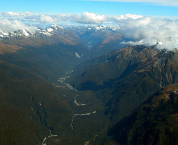
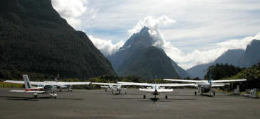 Flying to
Milford Sound
Flying to
Milford Sound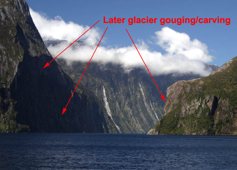