|
|
Flying over the Southern Alps
Getting ThereFlights over the Southern Alps can be arranged from a number of airports on the South Island. Since Queenstown is one of the more popular tourist towns on the South Island and, it is close to the Southern Alps, more tours are available here. Many tour operators can arrange a one-way or roundtrip flight between tourist-friendly Queenstown and Milford Sound. A flight also eliminates the five hour one-way drive between these two points.
If you plan on staying a night or more in Milford Sound, flights are also available from the Milford Sound airport which will include tours of surrounding mountains and valleys. The flights then return to Milford Sound. Either an airplane or helicopter can be chosen to carry out your journey. Choosing a helicopter typically includes a landing on top of one of the snow capped peaks, but is more expensive than the airplane option. Photo Tour
|
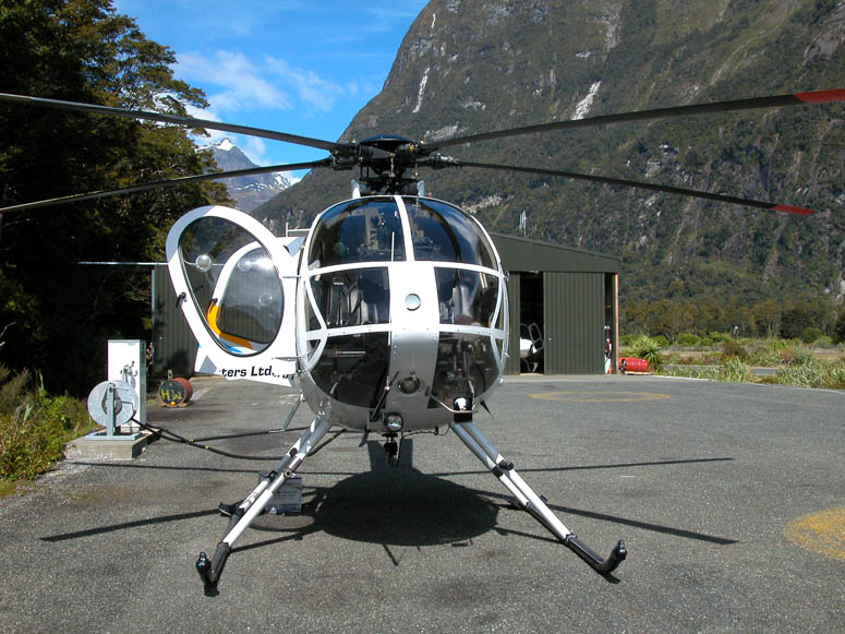 |
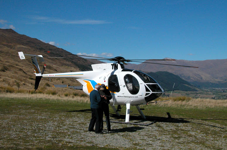
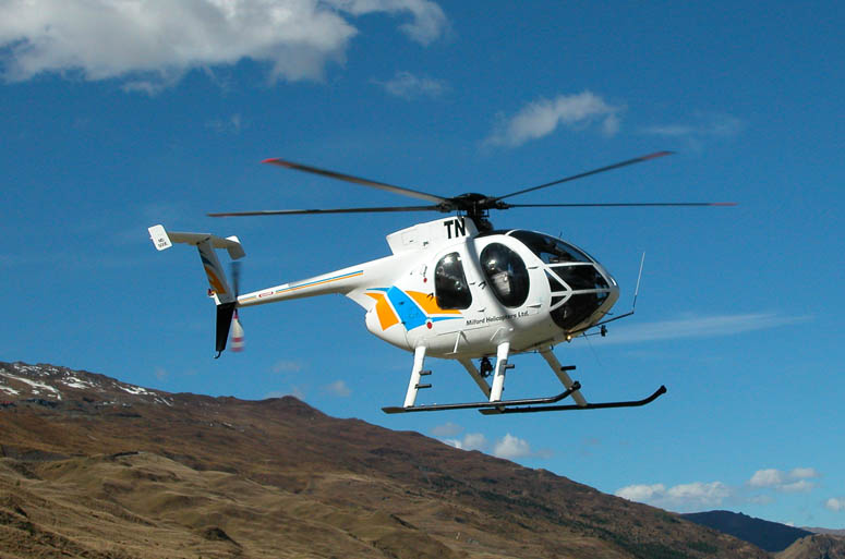
The Hughes MD-500E is ready for boarding. |
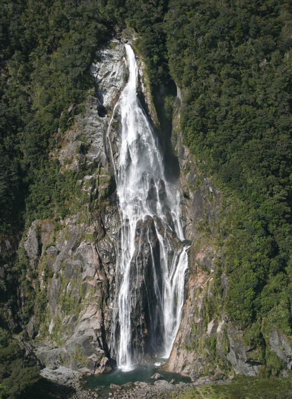 |
Our flight starts by passing by Bowen Falls. |
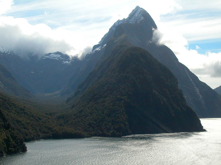 |
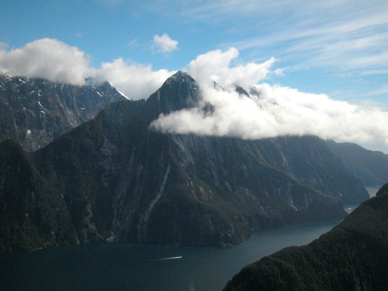
View of Mitre Peak. |
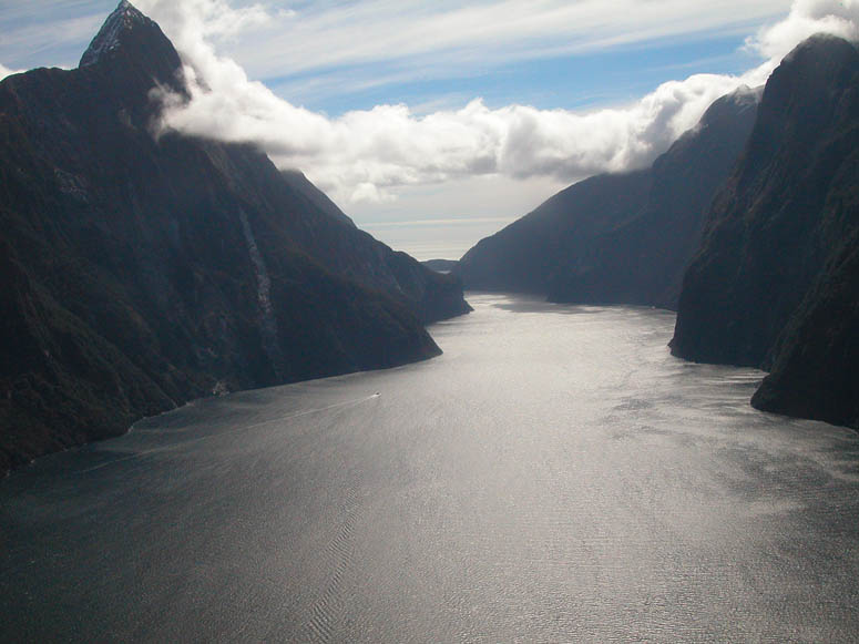 |
A few seconds later, we are able to see through Milford Sound and into the Tasman Sea. |
 |
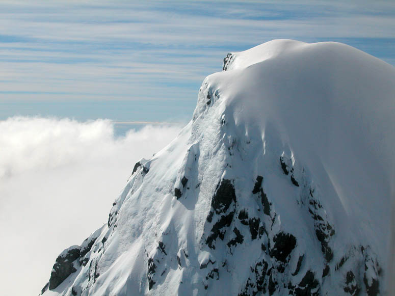
As the MD-500E climbs quickly, we are soon at the same altitude of Mitre Peak's summit. |
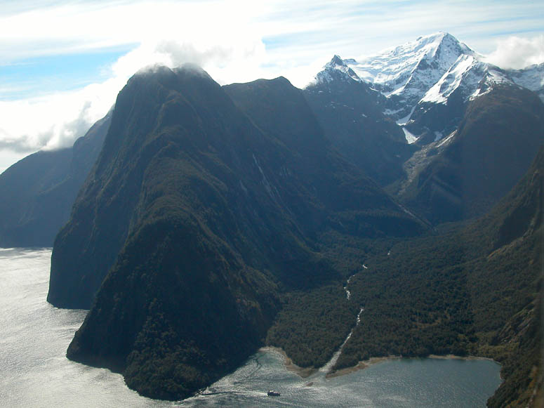 |
Harrison Cove and Mt. Pembroke. |
 |
Soon we are at the same altitude of Mt. Pembroke's summit. |
 |
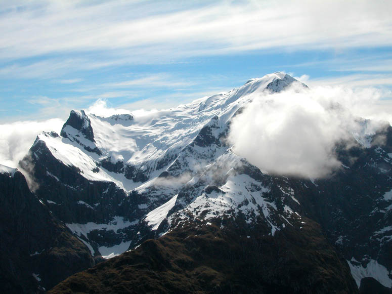
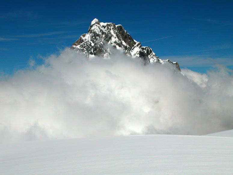
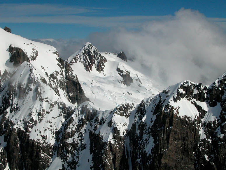
Our first glimpse of 9,000 foot (2,700 m) high Mt. Tutoko, the highest peak in southwest New Zealand and Fiordland National Park. |
 |
Flying past a small craggily peak. |
 |
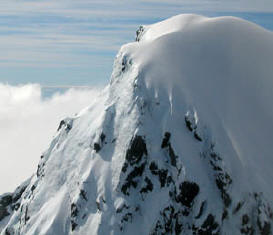
Flying past another peak coated with fresh snow. Can you see the ice cycles in the lower portion of the picture? |
 |
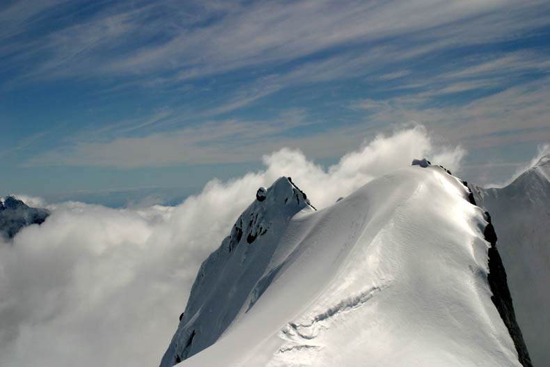
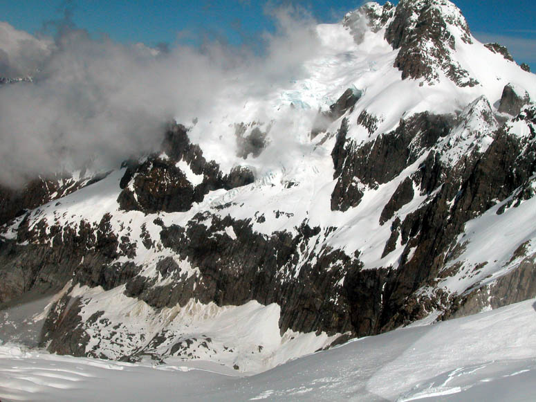
More mountain peaks. |
 |
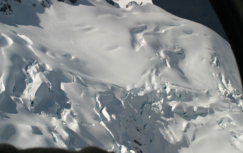
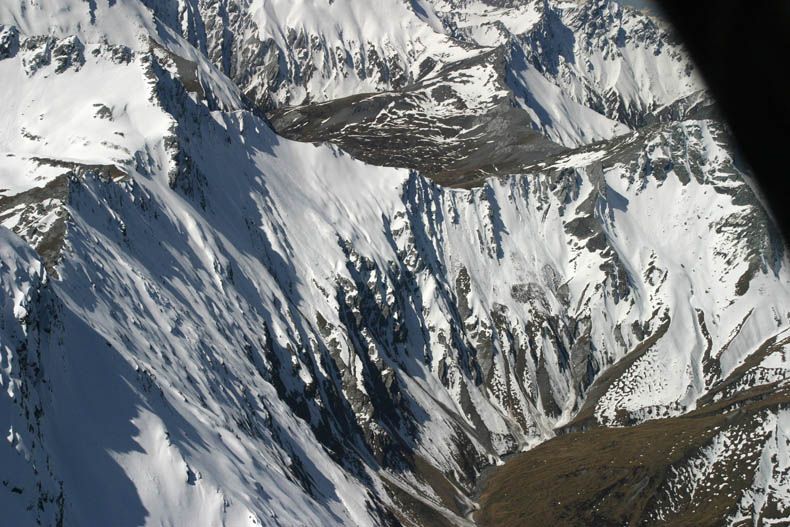
Here, snow patches that are showing signs of possibly breaking lose, can be seen in the lower portion of the picture. |
 |
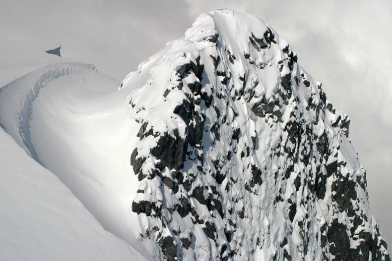
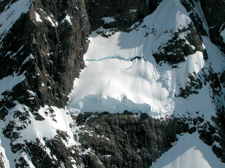
The edge of a craggily granite drop-off and the snow accumulation behind it. |
 |
Another view of the snow accumulation behind the ridge. |
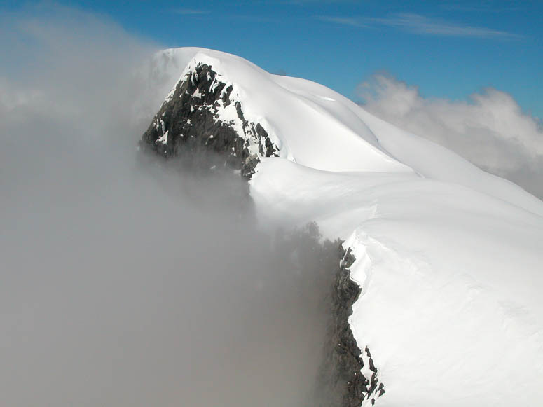 |
Passing by another mountain ridge. |
 |
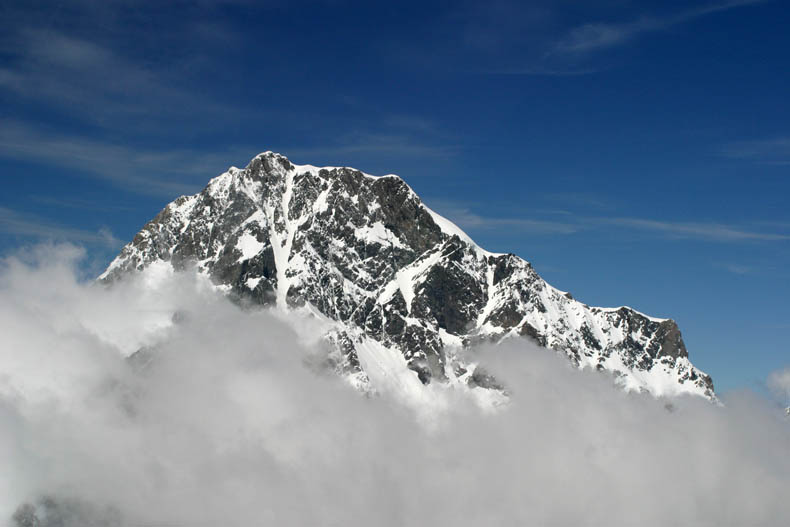
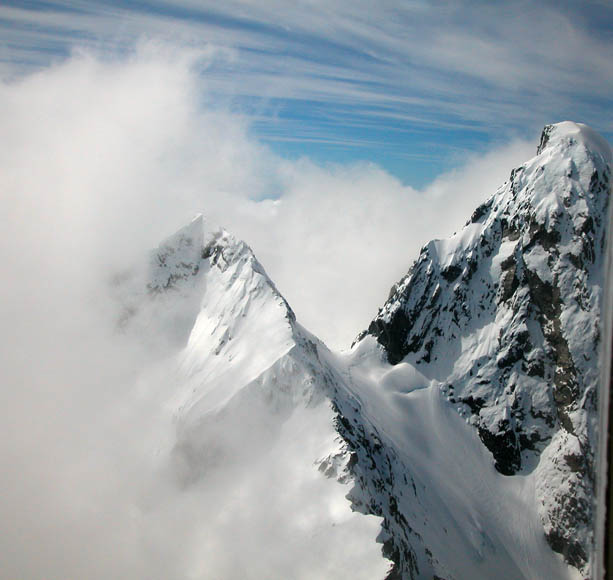
Mt. Tutoko peeks out over the clouds. Supposedly, New Zealander Sir Edmond Hillary [Google search], one of the first persons to reach the summit of Mt. Everest, actually had more difficulty climbing Mt. Tutoko than Mt. Everest. |
 |
The pilot begins looking for a level place in the snow to land the helicopter. |
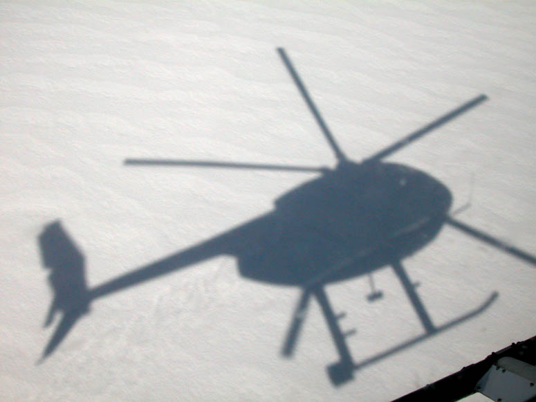 |
Close to touching down, the MD-500E's shadow becomes very defined. |
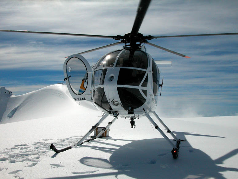 |
The MD-500E lands and we climb out making sure that we can walk on the thick snow - sort of like the same way Neil Armstrong checked the moon's surface with his foot before he stepped off the lunar lander in 1969. Believe it or not, although the helicopter's main rotors seem like they are still, they are indeed spinning at idle speed. The reason for this illusion is the camera's shutter speed being extremely fast with the abundance of sunlight on the snow. |
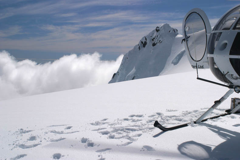 |
Looking off to the side of where we landed. |
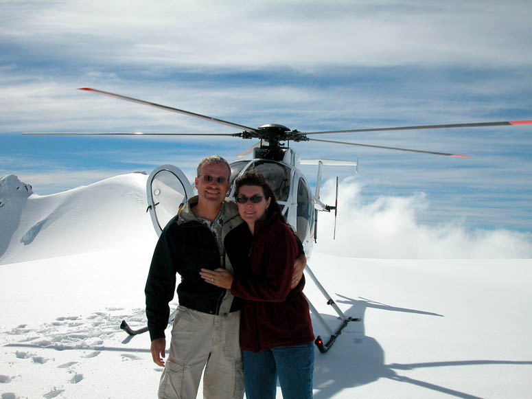 |
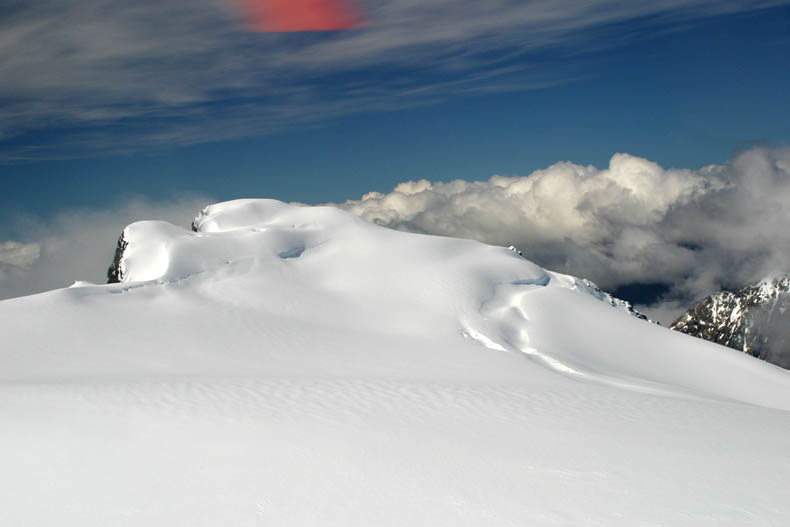
Here we are, posing on the summit of these incredible mountains. |
 |
We take off and quickly pass over a ridge and past Mt. Tutoko. |
 |
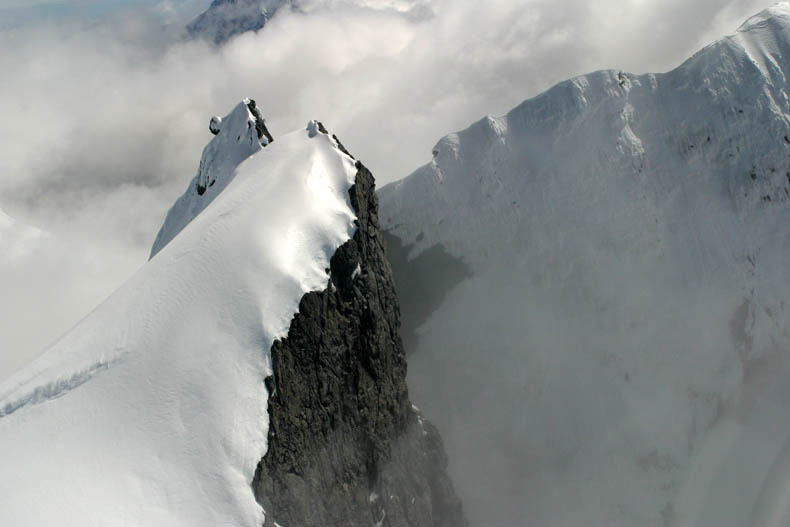
Passing by one of the many alpine peaks. |
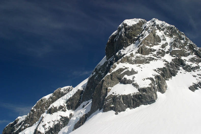 |
A closer look at one of the peaks. |
 |
Looking down at the thick accumulation of snow, some of it probably ready to break loss and slide down the mountainside as an avalanche. |
 |
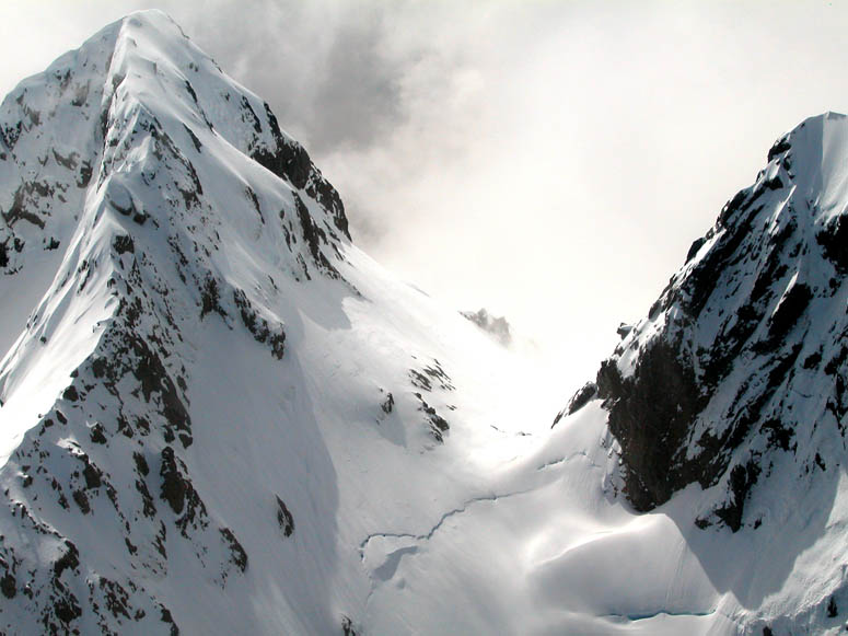
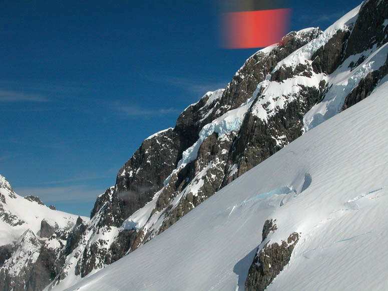
We flew very close to another steep ridge. Here we can see some of the snow has already broken loss. |
 |
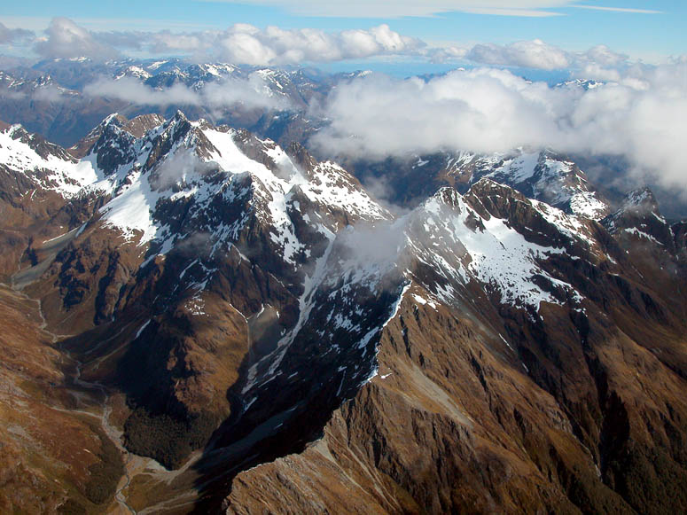
More mountain ridges and peaks on the east side of Mt. Tutoko. |
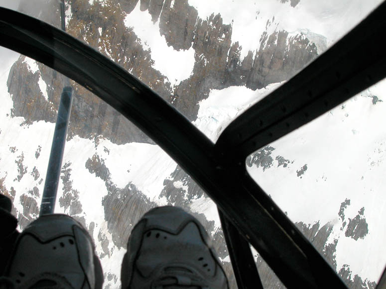 |
Taking a picture looking down - right between our shoes! |
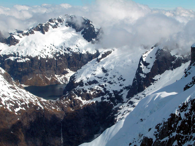 |
View of an alpine lake and waterfall below it. This scene is located about 4 miles (6.4 km) south of Mt. Tutoko at an elevation of approximately 4,000 feet (1,220 m). |
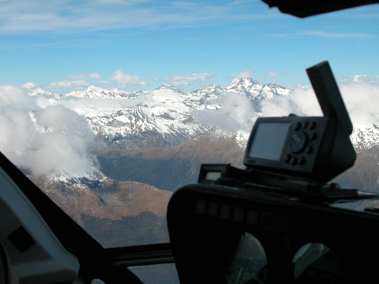 |
The helicopter pilot uses an off-the-shelf GPS unit built for automobiles to aid in navigation. It can easily be seen sitting on top of the instrument panel.. |
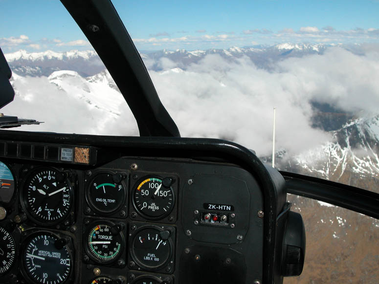 |
Sitting in the front seat of the MD-500E, we get to keep our eye's on the fuel gauge! Our trip to Queenstown lasted about 45 minutes (including our stop on the mountain top) and maintained a fairly high altitude of about 8,000 feet (2,440 m). |
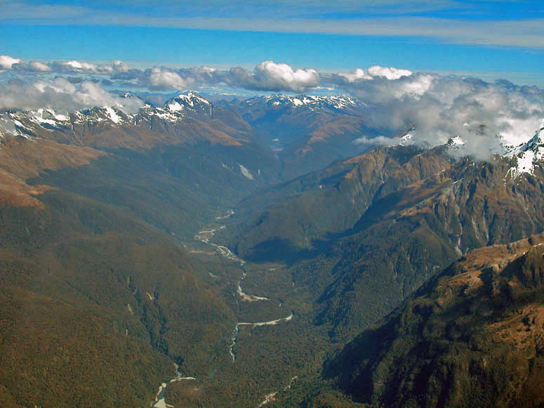 |
Looking south down the long and narrow expanses of Hollyford and Eglington Valleys. Eglington Valley is what we passed through on the drive to Milford Sound. |
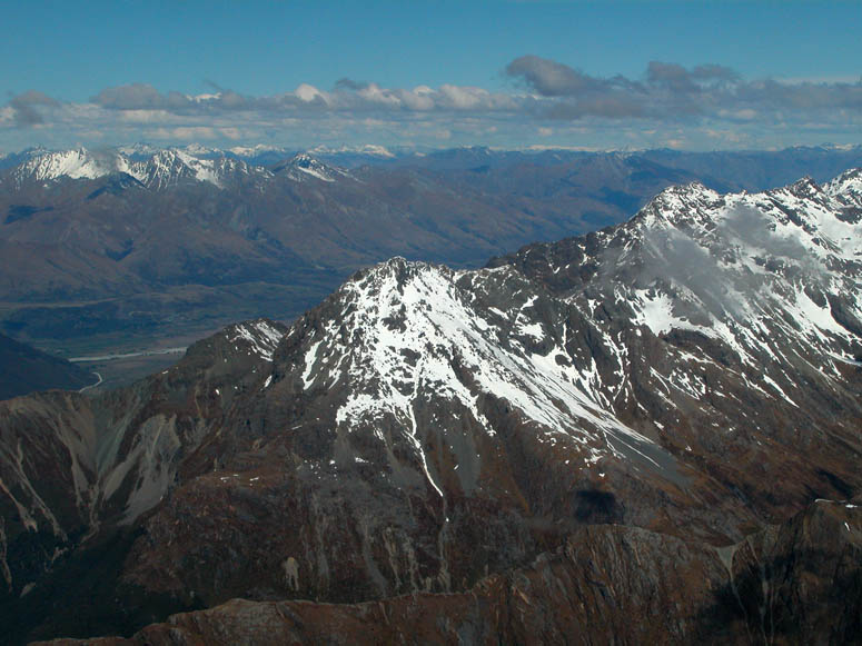 |
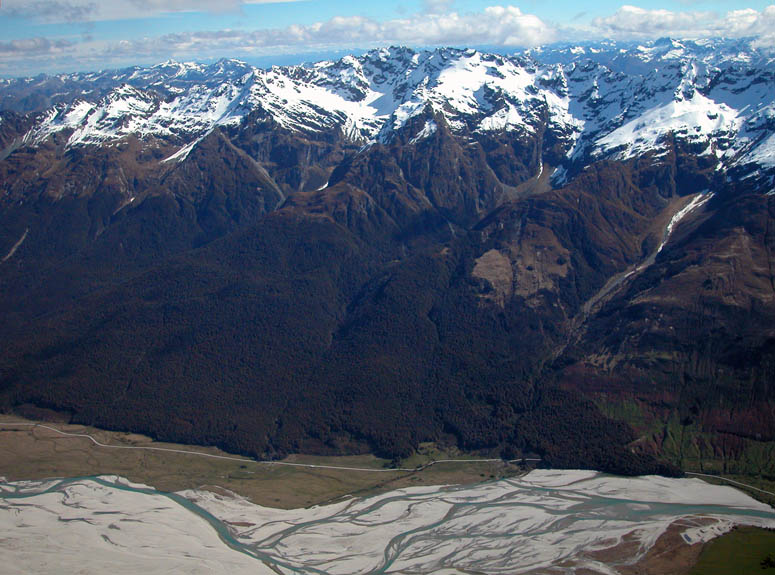
Passing over the large mountain ridge east of Hollyford Valley, we see the Dart River valley come into view. |
 |
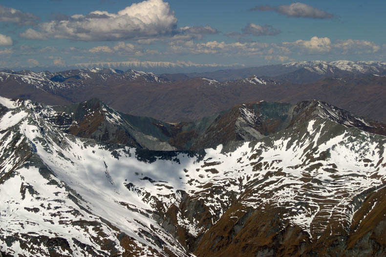
Looking down on more alpine scenery. |
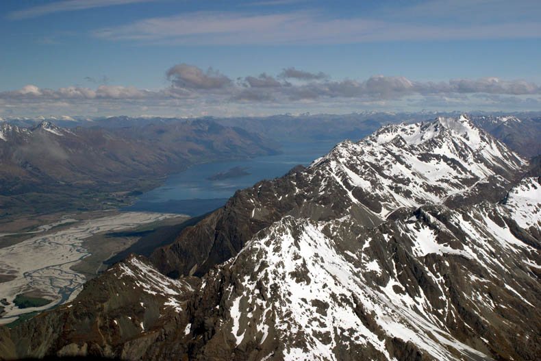 |
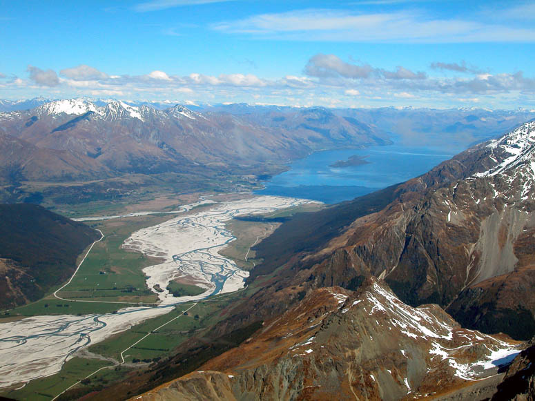
The northern end of Lake Wakatipu and the terminus of the Dart River comes into view. Incidentally, Lake Wakatipu is New Zealand's longest lake at 50 miles (80 km) long. |
 |
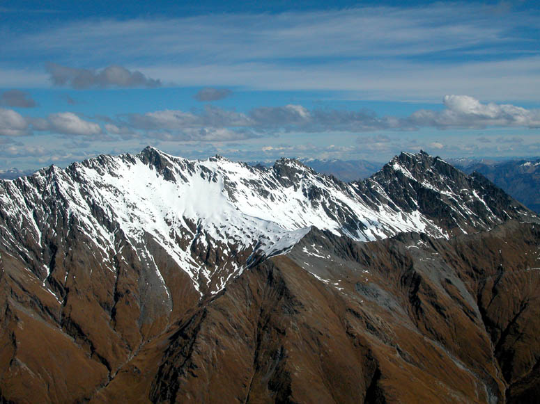
Looking into the distance, we see row after row of snow covered mountain ridges. |
 |
Looking straight down at more alpine terrain. |
 |
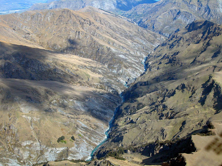
We now get a closer look at the meandering Dart River, which we will be exploring and jet boating on the next day. |
 |
Looking back in the direction of Milford Sound at the alpine ridges we just crossed. |
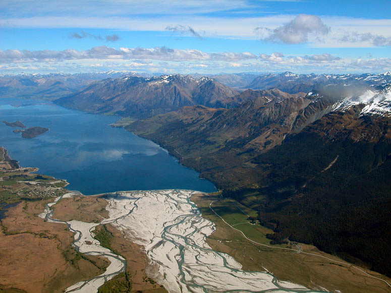 |
Passing over the Dart River valley. The small town of Glenorchy can be seen at the lower left corner of Lake Wakatipu. |
 |
We cross over another mountain ridge with more jagged mountains located between Glenorchy and Queenstown. |
 |
Crossing over the Shotover River - another popular jet boating destination. View is to the south. |
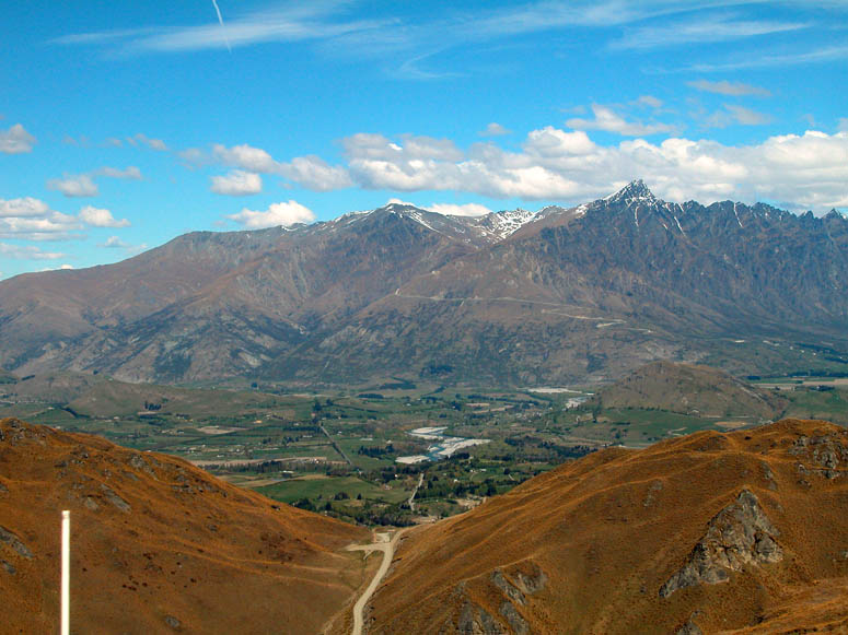 |
We approach the end of our flight a few miles south of Queenstown. The mountain range known as The Remarkables is seen in the distance. |
 |
We land near the junction of Skippers Road and Coronet Peak Road. The pilot pays the taxi driver for the fare back to our hotel in Queenstown. |
 |
The MD-500E helicopter lifts off and heads back to Milford Sound. However, the pilot told us that before returning, he was going to drop off some supplies at a hiking hut high on a mountain peak somewhere. |
Back to Photo Tour, back to Top of Page or Home
|
Copyright
© 2007, BackRoadsWest.com |

 Flying over the Southern Alps of New Zealand offers one of the most
spectacular views of mountain scenery in the world. Either flying on
an airplane or helicopter, you will get an up-close view of the magnificent and
rugged mountains between
Flying over the Southern Alps of New Zealand offers one of the most
spectacular views of mountain scenery in the world. Either flying on
an airplane or helicopter, you will get an up-close view of the magnificent and
rugged mountains between 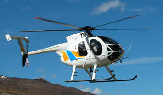 The flight we took was incorporated with a day-trip to Milford Sound while
staying in Queenstown. We took a bus in the morning to Milford Sound and
when we were through with our boat cruise through the sound, our trip back to
Queenstown was in a helicopter with a stop on one of the mountain peaks.
The flight we took was incorporated with a day-trip to Milford Sound while
staying in Queenstown. We took a bus in the morning to Milford Sound and
when we were through with our boat cruise through the sound, our trip back to
Queenstown was in a helicopter with a stop on one of the mountain peaks.