Here are three maps to help you plan your trip and give you an overall idea
of the area.
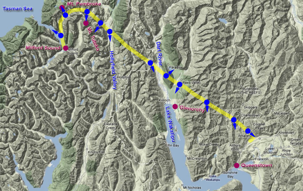
The
Interactive View Map
is an aerial view of the area that shows the route we took. Be sure to use our "blue
dot" feature to see a picture taken from that spot (see
Instructions).
The Interactive
Google Map & Tour
displays a step-by-step and interactive tour.
Read more...
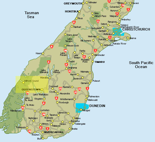
The yellow shaded area on the General Overview
Map shows you where you are
in relation to the Preserve as a whole.
Interactive View Map
(you may need to use the scroll
bar at the bottom of your screen)