|
|
TranzAlpine
Getting ThereJourneys on the TranzAlpine [Google search] can start in either Christchurch or Greymouth. In Christchurch, the train station is named Addington Station and is located southeast of downtown Christchurch - just on the southeast corner of Hagley Park. In Greymouth, the train station is on the east side of town and is easy to find. The TranzAlpine train runs once a day in each direction. As of 2009, it leaves Christchurch around 8 in the morning and arrives in Greymouth about 12:45pm. The train then leaves Greymouth at 1:45pm and arrives back in Christchurch at 6 in the evening. An ideal way to experience TranzAlpine is to include it with a complete tour around the South Island. Such a tour can be arranged so that it would start in Christchurch with boarding the TranzAlpine. The train portion of the trip would end in Greymouth. Next to the train station in Greymouth is a bus station, so it is easy to arrange a continuing bus journey from Greymouth to points on the west shore of the South Island. A good stopping point is Franz Josef. Such a trip can continue on to Queenstown and all the other points of interest on the southern portion of the island. Booking a trip on TranzAlpine is easy. Tickets can simply be purchased from the TranzScenic website. Once on the website, locate the link to the TranzAlpine train and then use the booking section on the webpage to book your trip. Be sure you book reservations for your trip several days ahead of time. Most travel agencies can also help you arrange a trip using TranzAlpine as one of the travel segments for a complete trip around the South Island. Additional portions of your trip can be done using intercity bus service that is quite common and efficient throughout the island. If you are planning on visiting the north side of the island, then keep in mind that there is also a TranzCoastal train that runs between Christchurch and Picton. Picton is located on the northern edge of the South Island, which is a ferry port that connects to Wellington on the North Island of New Zealand. Another option you can take when traveling the TranzAlpine is to get off the train at Arthur's Pass [Google search] (population about 50), which is located in the heart of Arthur's Pass National Park, and stay for a day or two. The small town of Arthur's Pass is the headquarters of the national park. The area around the town is a popular hiking attraction. Be sure to make overnight arrangements ahead of time before jumping off the train at Arthur's Pass because there is a limited number hotels available. What To Expect
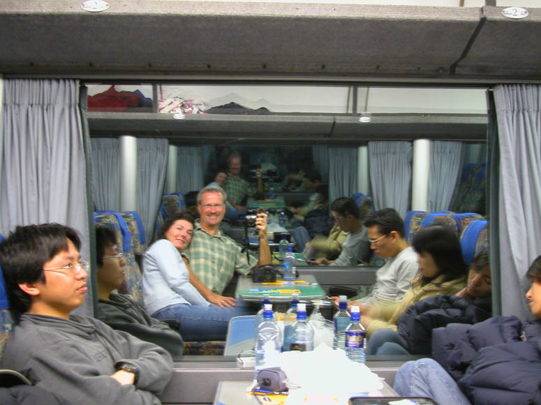
Just like most trains around the world, the seats in the train are typically two on one side and two on the other. Mostly, the seats face each other with a table in the middle [see picture]. Each car has a restroom. Food is available from a snack bar located at various places in the train. There is a menu available at each seat listing various snacks [see picture] along with an assortment of drinks to choose from at the snack bar. Luggage is checked and stored in a separate train wagon. So be prepared to take essential things, such as cameras and jackets, out of your luggage that you'll need during your journey before checking them . Luggage is claimed when the train arrives in at the station in Greymouth. Not only does the train stop at various stations along the way to drop-off and pickup passengers, it makes several "service stops" for various reasons such as letting other trains pass. Even though the TranzAlpine train is the only passenger train using the entire line between Christchurch and Greymouth, many freight trains (mainly trains carrying coal) share the same railroad line. So don't be surprised if the train slows down and then stops for several minutes and the stop is not announced. The train runs at a modest speed - about 40 to 60 mph (64 to 96 kph). The ride is quite smooth. We didn't experience the rocking motion that is common with some trains that tends to give sensitive people motion sickness. Travel on the TranzAlpine is clearly designed for the tourist. All New Zealand trains operate on what is simply known as "narrow gauge" track. Such railroad tracks have rails that are 3 feet, 6 inches apart. This gauge is the same size as narrow gauge rail roads in North America. It is different then the "standard gauge" we are familiar with in the USA as the rails are 4 feet, 8.5 inches apart. So when you ride the New Zealand trains, the roominess of the wagons will appear slightly less then trains in the USA. What To SeeOur TranzAlpine experience started in Christchurch at eight in the morning and ended in Greymouth just after lunchtime. We boarded the train at Addington Station. We were amazed on how many people were at the station and ready to board the train. The TranzAlpine runs almost the entire 132 mile (212 km) course of what is known as the Midland Line. Construction of the line began in the late 1880s and was completed with the opening of the Otira Tunnel in 1923. Canterbury Plains
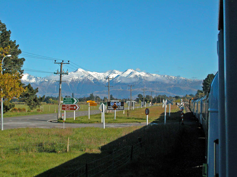
If it is a clear day, looking into the direction that the train is traveling will reveal the long north-south trending spine of the Southern Alps. When we made our journey in October - their springtime - the alps had an ample dusting of snow which made the mountains visible almost as soon as we departed from Christchurch. The train stopped at two small towns before reaching the foothills. At the town of Springfield, an announcement was made that the train would be standing for about ten minutes and that we were able to step off the train for a short period to take a better look of the alps ahead.
|
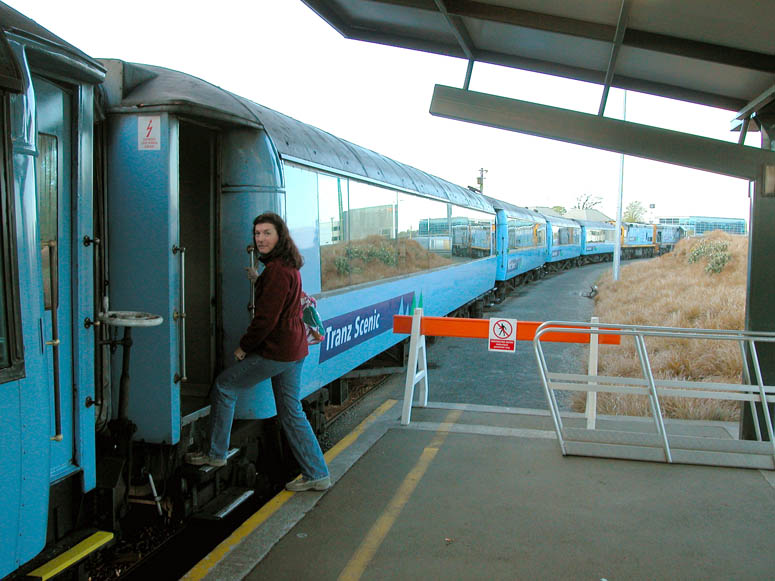 |
Boarding the TranzAlpine train at Addington Station in Christchurch. |
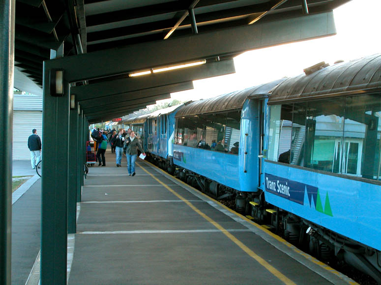 |
Passengers begin to fill the station's platform. |
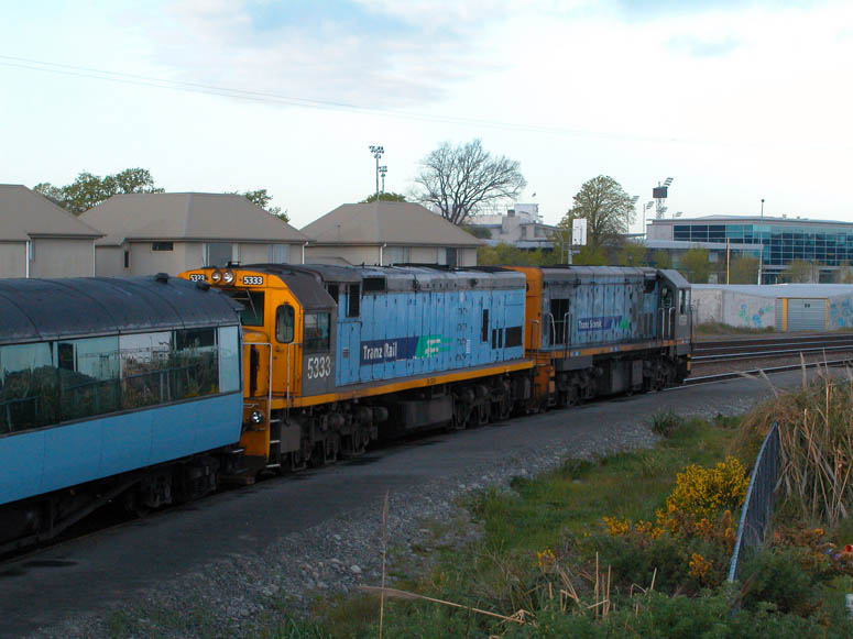 |
The locomotives that were leading our TranzAlpine train. These "DC class" diesel-electric locomotives, originally manufactured by General Motors Canada, are fairly common on New Zealand's north and south islands. Another common locomotive is the "DX class", which was built by General Electric in the USA. |
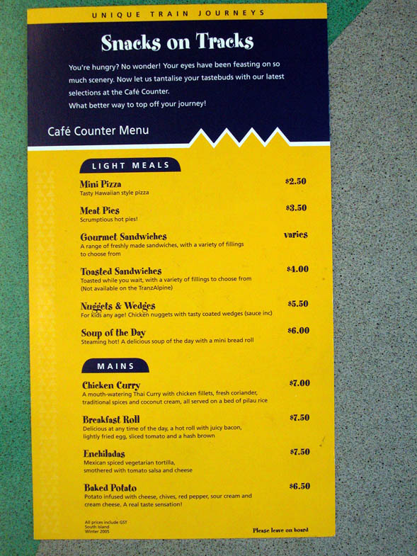 |
A menu of items to eat was provided at each seat so that passengers can ponder on what might be tasty. Personally, we tried both the Chicken Curry and the Enchiladas, knowing that New Zealand is nowhere near India or Mexico, and found the food quite tasty. |
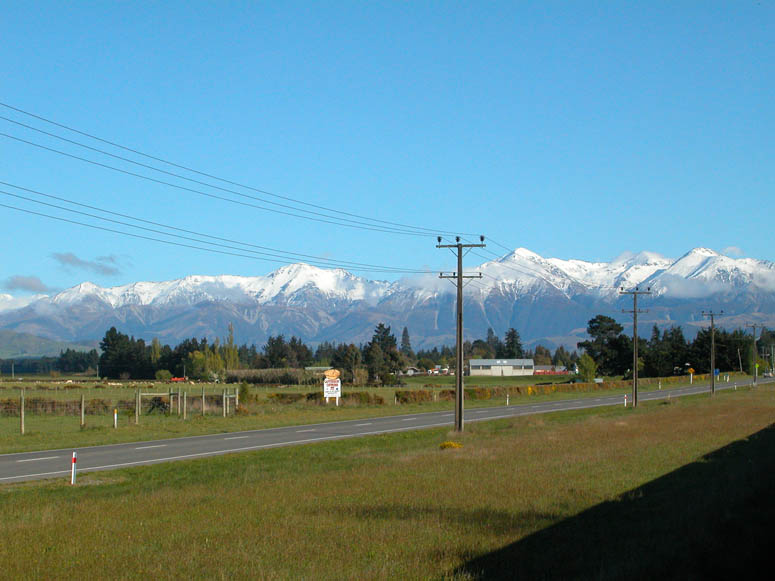 |
Traveling west across the Canterbury Plains, the snowcapped alps become bigger and bigger. |
 |
Much of the time through the plains, the tracks parallel Route 73, known as the West Coast Road. |
 |
Looking northwest out of the open-air wagon at the approaching alps. |
 |
The train stopped at the town of Springfield for about ten minutes - long enough for us to briefly get off the train to look around. |
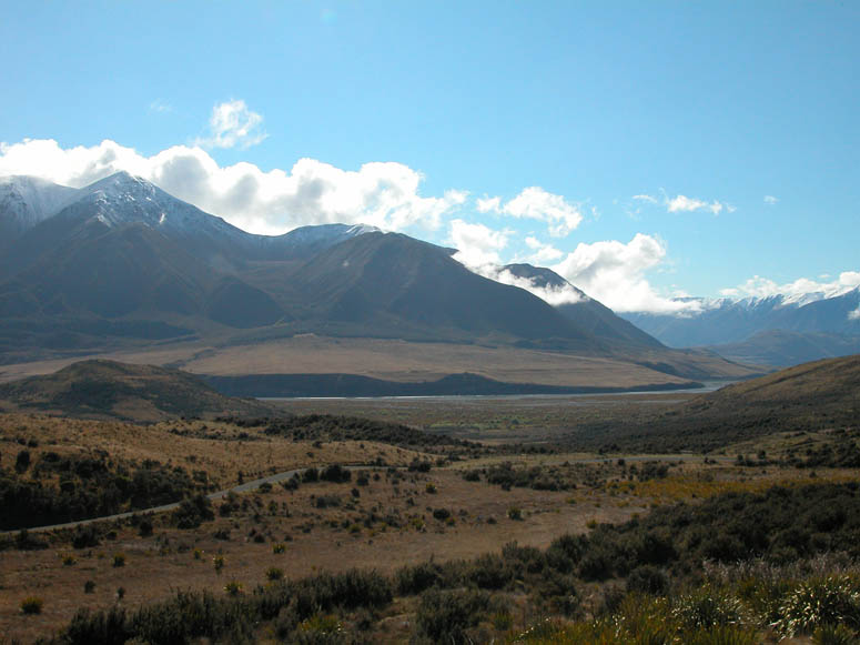 |
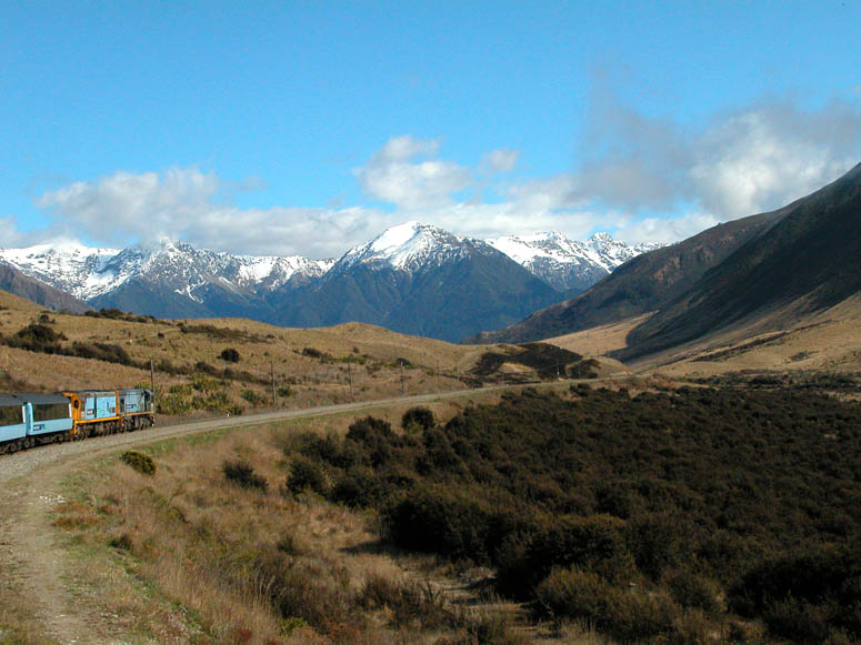
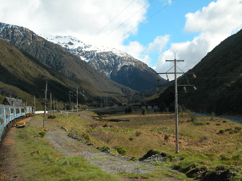
Passing through the foothills of the alps, the line follows a wide valley into the alps created by the Waimakarini River. |
 |
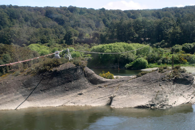
The valley narrows and becomes known as the Waimakarini Gorge. There are many viaducts and tunnels located on this portion of the line. |
 |
Staircase Viaduct is highest of all the bridges at 240 feet (73 m) tall. It crosses a small stream that empties into the Waimakarini River on the other side of the bridge. Picture from Wikipedia. |
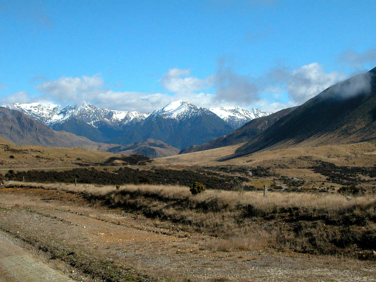 |
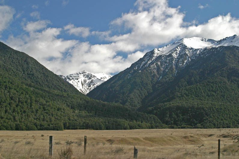
The rolling foothills slowly turn into the jagged and snowcapped alps. |
 |
The line makes several sweeping turns allowing you to see the entire length of the train. |
 |
While traveling through the foothills, the line passes next to a few lakes. |
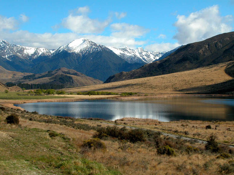 |
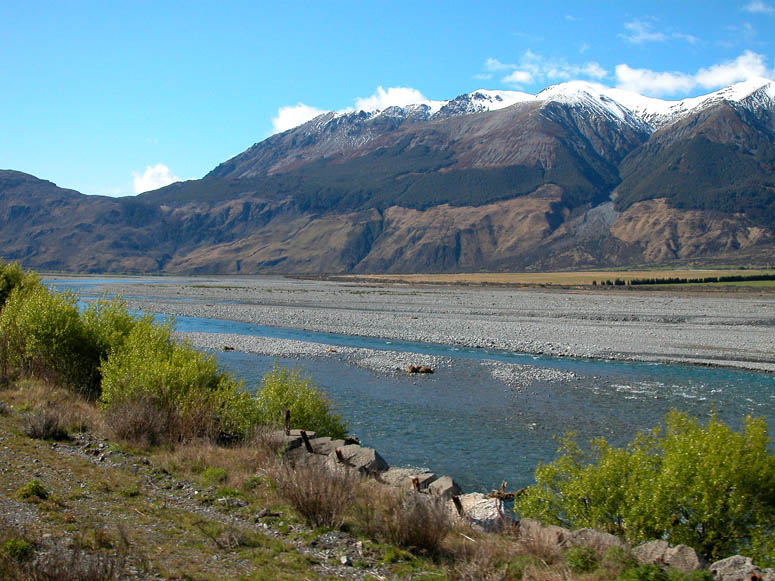
This is Lake Sarah, which provides a nice reflection of the snowcapped mountains. |
 |
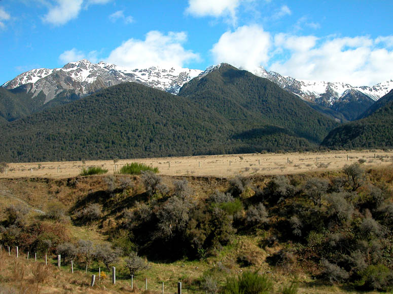
Several fields full of sheep are passed along the way just to remind travelers that they are still in New Zealand and not in Switzerland. |
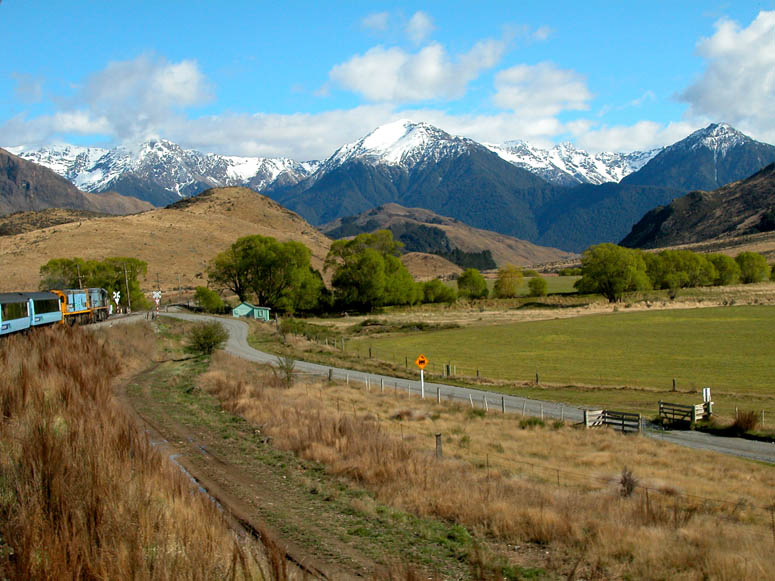 |
The train crosses a remote farming road. |
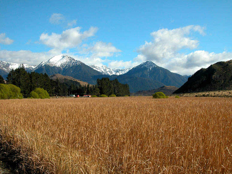 |
Passing by more agriculture while rolling through the foothills. |
 |
Looking out of the open-air wagon. Most of the line is narrow gauge single track. There are many places along the line where there is a siding for trains traveling the opposite direction to pass. |
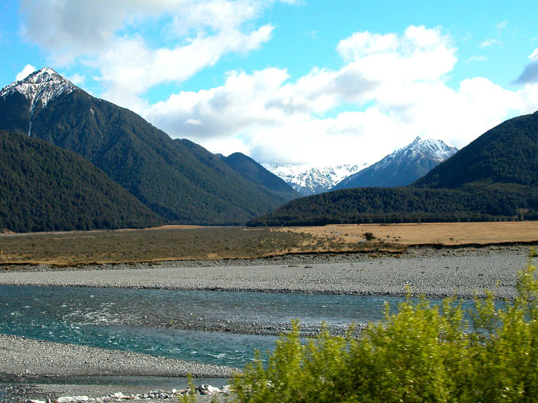 |
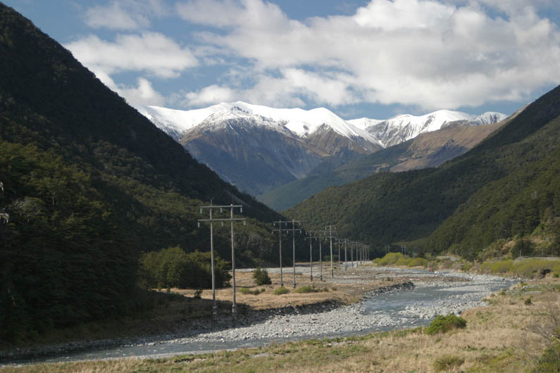
As the foothills turn into alps, the railroad gets ever close to rivers that have the unique aqua color which occurs from "glacial flour" [Google search] being added to the water. |
 |
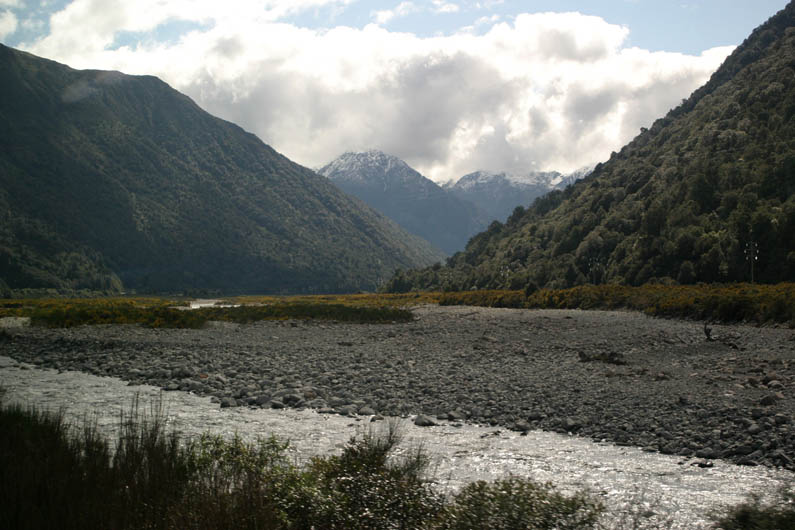
Although the braids of water don't seem to be very wide, it is obvious that they fill the entire width of Waimakarini's riverbed at times and probably become quite a torrent. |
 |
The train gets closer and closer to the rugged alpine scenery. |
 |
Rolling by the Waimakarini River. |
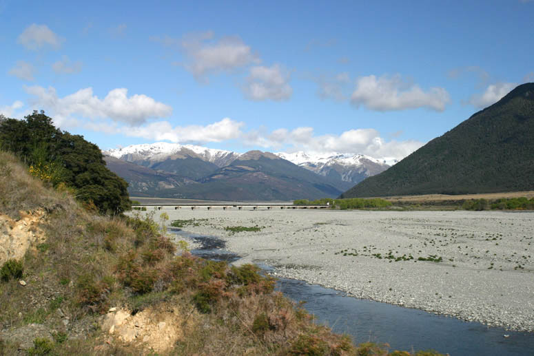 |
Approaching a bridge that soon takes us across the Waimakarini. |
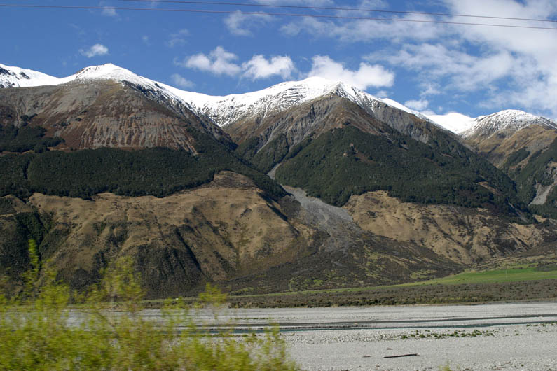 |
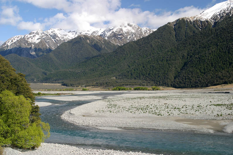
More alpine scenery. Notice the vegetation halfway up the slopes. We were wondering if there was a reason why they didn't reach all the way to the banks of the river below. |
 |
Continuing our trek into the heart of the alps and Arthur's Pass National Park. |
 |
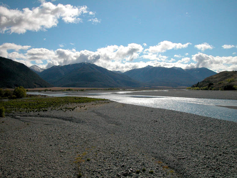
We were amazed on how wide this riverbed was and wondered what it looked like when water was once flowing from shore to shore. |
 |
Looking into the snowy alps. |
 |
Passing through Arthur's Pass and getting closer to the summit. |
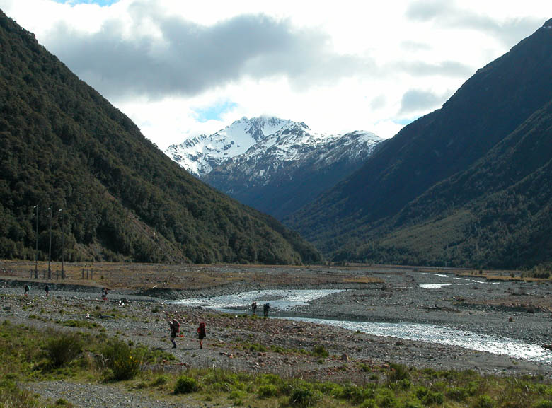 |
We spot many hikers, or "trampers" as it is said in New Zealand, along this portion of the line. |
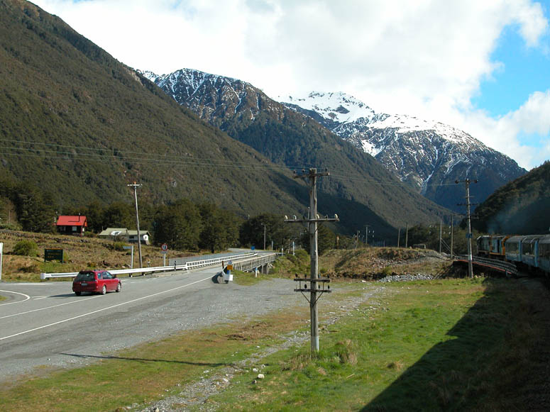 |
Route 73, known as the West Coast Highway east of the alps and Otira Highway west of the alps, shares the route through Arthur's Pass. |
 |
Some of the highway and railroad bridges are not very tall and don't seem like they would withstand a moderately deep flood. |
 |
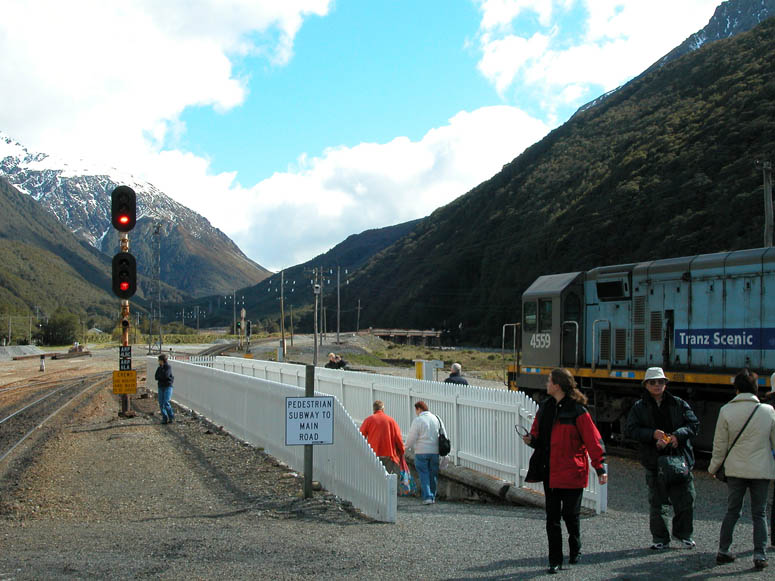
The train approaches the station at Arthur's Pass township and train station. |
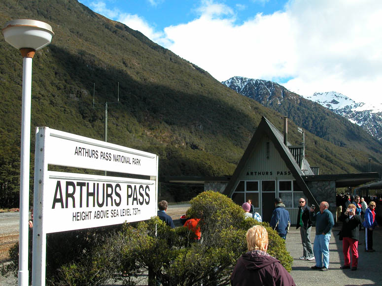 |
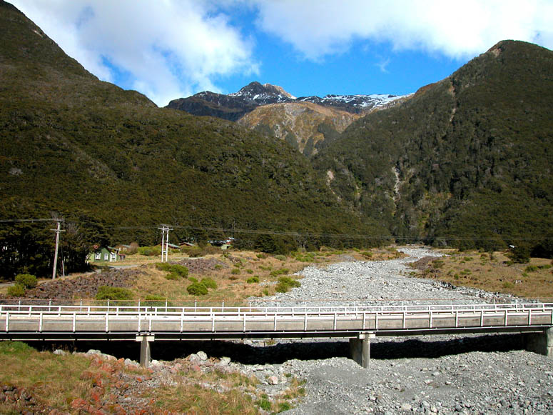
The train stops at Arthur's Pass for about twenty minutes and passengers are allowed to get off the train to enjoy the close-by alpine scenery. This is the summit and highest point along the line at 2,418 feet (737 m). |
 |
Some of the TranzAlpine passengers chose to get off the train here to stay a day or more at the small community of Arthur's Pass. The community is reached via a small walk under the tracks. |
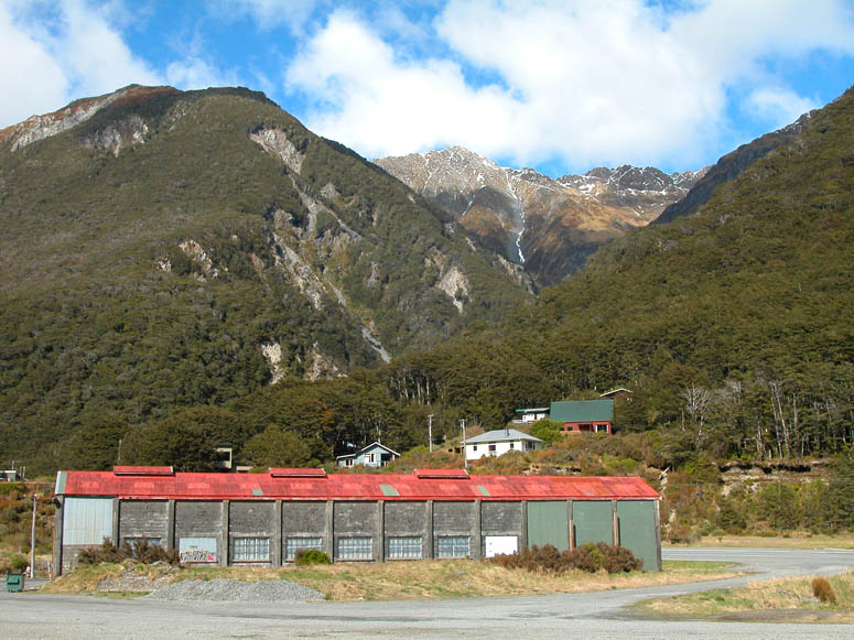 |
Looking west at a few of the buildings in Arthur's Pass. |
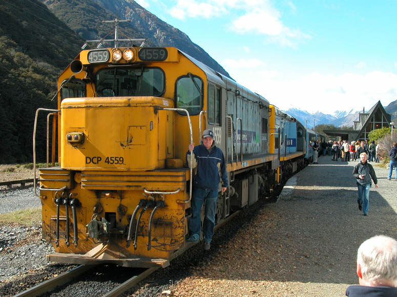 |
Front view of our narrow gauge DC class locomotive. |
 |
This is the open-air wagon located mid-way between the train where passengers can enjoy a full outdoor view of the scenery. |
 |
Just after Arthur's Pass, the train crosses the bridge ahead and enters the 5.3 mile (8.5 km) long Otira Tunnel. |
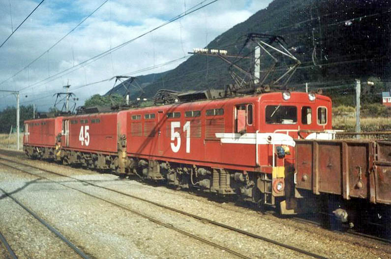 |
Between 1923 and 1997, several classes of electric locomotives were used to pull trains through Otira Tunnel. Both of these photos are from Wikipedia. |
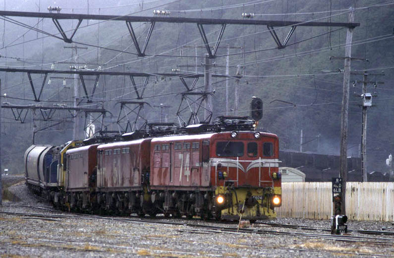 |
Here, EO class locomotives pull a diesel locomotive and its load of coal wagons out of the Arthur's Pass end of the tunnel. From here, the electric locomotives would disconnect and the diesel locomotives would be started back up and continue to pull the train to Christchurch. |
 |
As one would expect when passing through the tunnel, there is nothing to see out of the dark windows, except for a reflection of your seating area. |
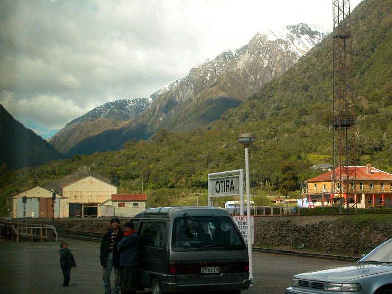 |
After emerging out of the tunnel, the train stops briefly at the small town of Otira. |
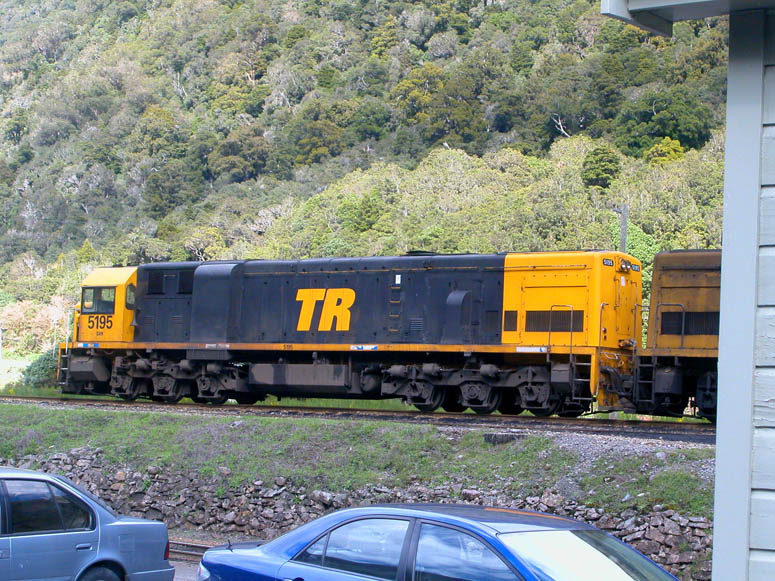 |
"Helper" locomotives sit ready at Otira to assist heavy coal trains up the steep grade inside the Otira tunnel to the summit at Arthur's Pass. The "TR" stands for Tranz Rail [Google search] which is one of New Zealand's ever changing rail transport companies that has been both privately and government owned. |
 |
The terrain is less rugged on the west side of the alps, but the vegetation is more lush. |
 |
Passing by the lush countryside after leaving the alps. |
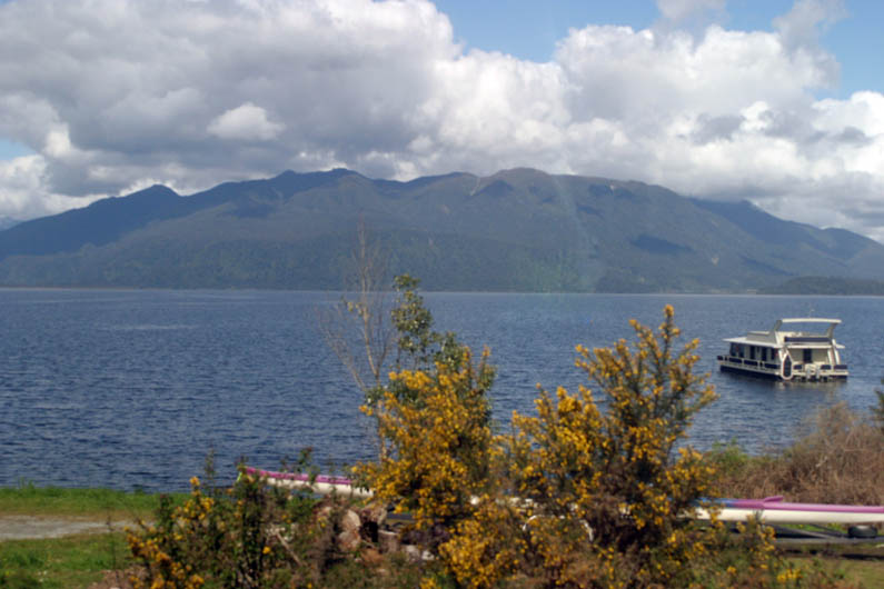 |
The line passes by the large Lake Brunner. |
 |
The rivers on the west side of the alps also seemed to be more full, indicating that there is more rainfall and water flow on the west side of the alps. This is the Grey River, which is seen on the train's last stretch before reaching Greymouth. |
 |
This picture was taken near the coal mining area east of Greymouth. In 1896, an explosion in a coal mine close by left 66 men dead. As mentioned previously, coal mining is still a big industry in this area. |
 |
Tracks run close to Route 7 just before reaching Greymouth. |
 |
Our journey ends at the station in Greymouth. View is to the west (where we came from). |
Back to Photo Tour, back to Top of Page or Home
|
Copyright
© 2007, BackRoadsWest.com |

 Regarded as one of the most spectacular train journeys in the world, the
TranzAlpine thrills passengers daily with trips over the Southern Alps between
both the east and west coasts. This train is not only an easy way to
travel between Christchurch and Greymouth, it does double duty by providing
wonderful views of the South Island's interior, including rugged mountain
scenery of the Southern Alps. The complete train journey, developed with
the tourist in mind, takes four and a half hours to complete and is 139 miles
(223 km) in length. It passes through 19 tunnels, the longest being 5.3
miles (8.5 km) long, and over four viaducts, one being 240 feet (73 m) high.
Regarded as one of the most spectacular train journeys in the world, the
TranzAlpine thrills passengers daily with trips over the Southern Alps between
both the east and west coasts. This train is not only an easy way to
travel between Christchurch and Greymouth, it does double duty by providing
wonderful views of the South Island's interior, including rugged mountain
scenery of the Southern Alps. The complete train journey, developed with
the tourist in mind, takes four and a half hours to complete and is 139 miles
(223 km) in length. It passes through 19 tunnels, the longest being 5.3
miles (8.5 km) long, and over four viaducts, one being 240 feet (73 m) high.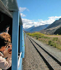 Except for the time we spent going through the five mile long Otira Tunnel,
our eyes were constantly gazing through the train's large panoramic windows
during the four and a half hour journey. Along with the coaches that are
pulled by the locomotives of the TranzAlpine, a separate open-air wagon is located in the
middle of the train. This allows passengers to go outside and enjoy
unobstructed views, along with feeling the fresh, normally cold, air. This wagon is also great for taking
pictures of the scenic views you'll see along the way.
Except for the time we spent going through the five mile long Otira Tunnel,
our eyes were constantly gazing through the train's large panoramic windows
during the four and a half hour journey. Along with the coaches that are
pulled by the locomotives of the TranzAlpine, a separate open-air wagon is located in the
middle of the train. This allows passengers to go outside and enjoy
unobstructed views, along with feeling the fresh, normally cold, air. This wagon is also great for taking
pictures of the scenic views you'll see along the way.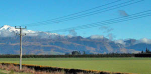 After passing through an industrial section west of Christchurch, we were
soon traveling northwest
over the large agricultural area known as the Canterbury Plains. Traveling
through this area, one can see that agriculture is one of New Zealand's main
industries. These plains extend for quite a distance north and south of
where the railway line passes, so it is quite a large region.
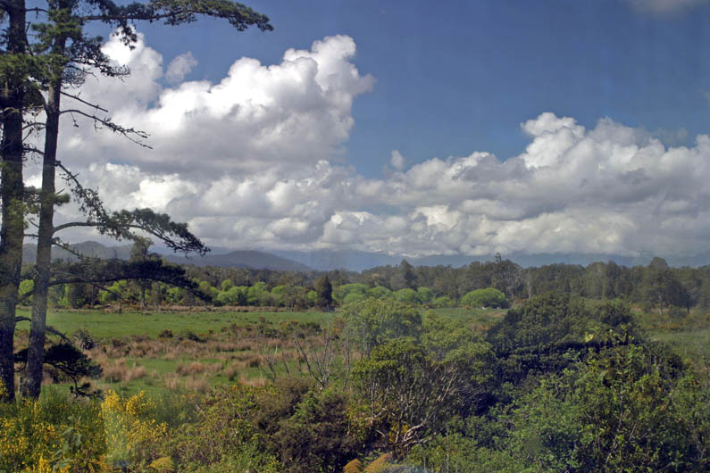
After passing through an industrial section west of Christchurch, we were
soon traveling northwest
over the large agricultural area known as the Canterbury Plains. Traveling
through this area, one can see that agriculture is one of New Zealand's main
industries. These plains extend for quite a distance north and south of
where the railway line passes, so it is quite a large region.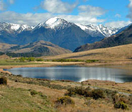 Foothills
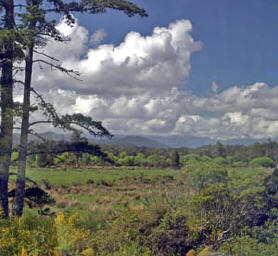 After exiting
the tunnel, the line descends slowly to sea level at Greymouth. The
terrain and vegetation on the west side of the alps will be noticeably more lush
as the weather patterns here dump more rain on the Tasman Sea side of the
mountains.
After exiting
the tunnel, the line descends slowly to sea level at Greymouth. The
terrain and vegetation on the west side of the alps will be noticeably more lush
as the weather patterns here dump more rain on the Tasman Sea side of the
mountains.