Nine Mile Canyon: World’s Longest Art Gallery

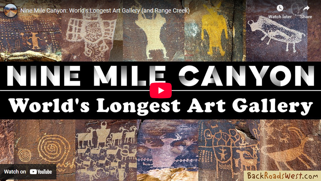
In a seldom-visited canyon in central Utah is a large collection of Native American rock art that many refer to as the World’s longest art gallery, but it’s better known as Nine Mile Canyon. Along with spectacular canyon scenery, this canyon has an amazing amount of rock art that goes on for many miles, more than just nine miles.
Trip Specs
Length
- Driving: about 105 miles (168 km) roundtrip
Attractions
- Many rock art sites
- Unique canyon scenery
- Historic ranches
Difficulty
- Remote area – no services
- No cell phone service
- Paved & easy dirt roads
- Sedans ok
- Easy to find rock art
Elevation Gain
- About 1,600 feet (540 m)
- Then back down 1,600 feet to the tour’s end
In This Article
- Our Trip: an explanation of the tour route we took
- Picture Galleries of Rock Art Panels
- What’s Near Nine Mile Canyon
- About Rock Art
- Downloadable Guide: a PDF published by Carbon County
- Trip Map
Our Trip
Our road trip through Nine Mile Canyon starts in the town of Wellington, Utah. At the east end of town, there’s a large fueling station. It was a Chevron station and called Miller’s Travel Center in 2025. On the east side of this station, a road named Soldier Creek Road heads north. This is the start of the roughly 50 mile (80 km) one-way trek up to Nine Mile Canyon.
Before starting out on Soldier Creek Road (which turns into Nine Mile Canyon Road), reset your vehicle’s trip meter. In 11 miles (17.6 km), the road passes the base of the Book Cliffs. The Book Cliffs are a large escarpment stretching some 50 miles, from roughly the Colorado border to the nearby town of Helper. The road continues through a canyon as it continues ascending the Tavaputs Plateau.
Rock Art Begins
The road exits the canyon at 16 miles, passes through another canyon, then enters Nine Mile Canyon itself. At 21 miles (33.6 km), a welcome to Nine Mile Canyon will be seen. The first rock art site, appropriately named “First Site”, is reached in 26 miles.
For the next 25 to 30 miles (40-48 km), Nine Mile Canyon Road will pass by numerous rock art panels. Many are signed and easy to find. Others, you’ll need to keep a sharp eye to find them. At this point also, the road will now slowly descend towards the Green River, some 40 miles away, although the road doesn’t go that far.
End of the Road
At 45 miles (72 km) from Wellington, the road forks. The pavement leads to the right and becomes Cottonwood Canyon Road. Two significant rock art panels are found on this road in less than 1.5 miles. At the fork, a dirt road continues following down Nine Mile Canyon to the left.
The road down the canyon continues for another 5.2 miles (8.3 km) to a locked gate. During this stretch, two more rock art panels can be found along with several standalone petroglyphs. At the locked gate, a much rougher road can be followed up a drainage on the left called North Franks Canyon. We did not explore this road and turned around at the locked gate and returned to Willington.
What’s Near Nine Mile Canyon
As mentioned, the beginning of the road into Nine Mile Canyon is in Wellington. However, this is a fairly small town with few services. About nine miles (14.4 km) west of Wellington on US Hwy 191 & 6 is the much larger town of Price. It has several hotels and many eateries.
Museums
We also strongly recommend visiting the Prehistoric Museum, Utah State University Eastern, located at 155 E Main St in Price. Not only does it have exhibits of numerous dinosaur fossils that were dug up at nearby quarries, it also has many exhibits with Native American artifacts from this area, including Nine Mile Canyon. The Natural History Museum of Utah, located on the University of Utah campus, also has exhibits covering Nine Mile Canyon and nearby Range Creek.
Helper (Town)
About 7 miles north of Price along Hwy 191 is the historic town of Helper. If you’re staying in Price, don’t miss this quaint and fun town. It also has more dining options if you’re not satisfied with what Price offers. There’s also a great museum here that preserves the town’s railroading and coal mining past.
Alternate Trip Routes
Two longer trips through Nine Mile Canyon can be done, although we haven’t tried either of them yet. Both will require a full day of driving.
If you’re staying in the Price area, a loop trip can be made by visiting Nine Mile Canyon as described in this article (and video), then return using Dry Canyon Road that intersects Nine Mile Canyon Road by the gas compressor station near Big Daddy Complex. This road climbs over the Tavaputs Plateau and returns to civilization at the former coal mining town of Sunnyside. A 4WD vehicle will most likely be required at some points along this route.
If you’re next destination is Vernal to the north, after visiting Nine Mile Canyon, a road that leads north out of canyon can be taken to the town of Myton. On the map, this road is also labeled Nine Mile Canyon Road. This road starts out as dirt, but several miles after leaving the canyon, becomes paved.
About Rock Art
The different types of rock art and the people that created them in Utah is covered in detail in our article of the Rochester Panel. See the Types of Rock Art section.
This magnificent panel is located about 57 miles (91 km) south of the town of Price on Hwy 10. The artists that created this panel are most likely the same artists (the Fremont) that created most of the art in Nine Mile Canyon.
Picture Galleries of Rock Art Panels
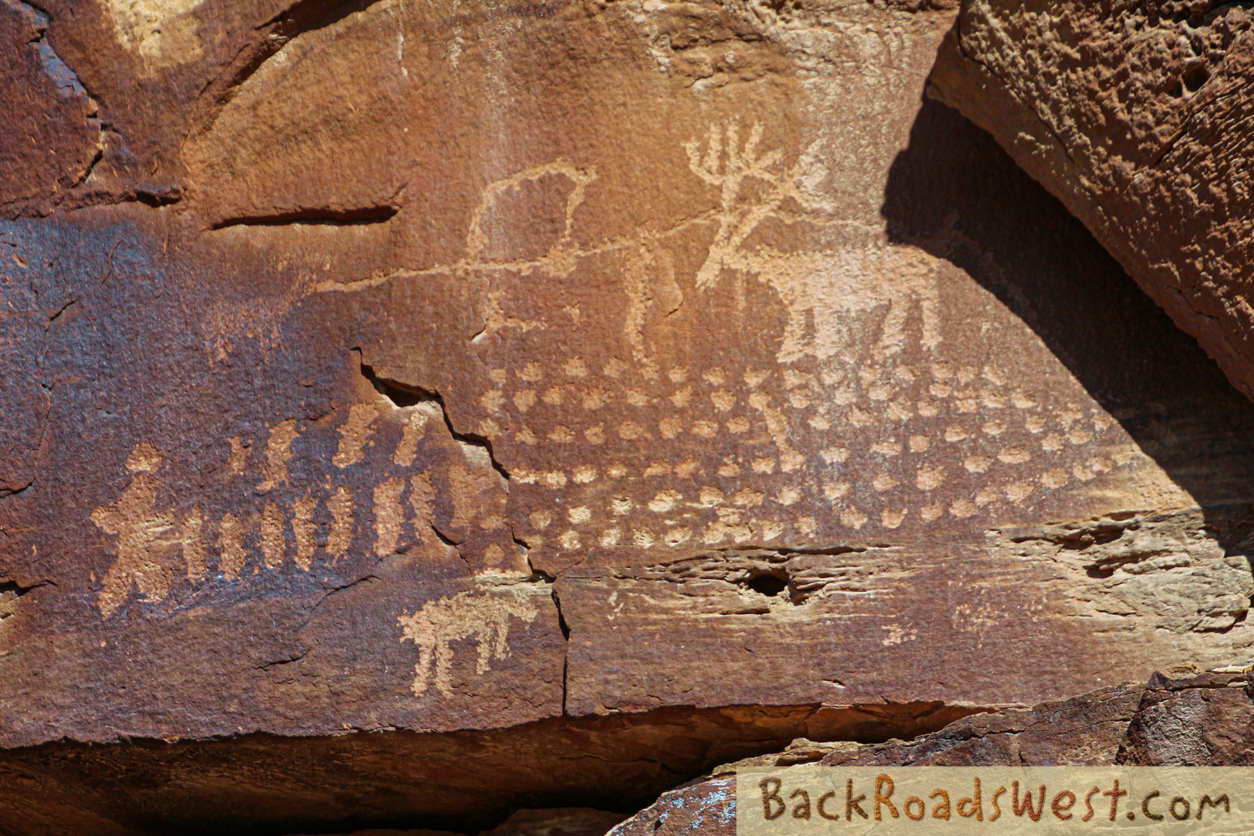
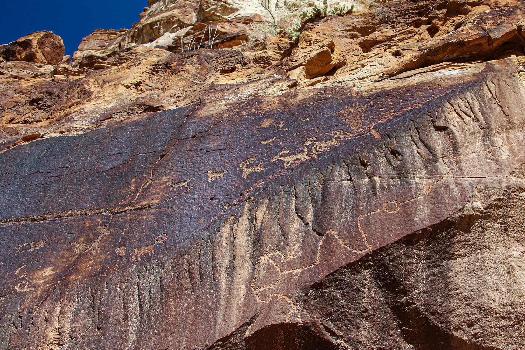
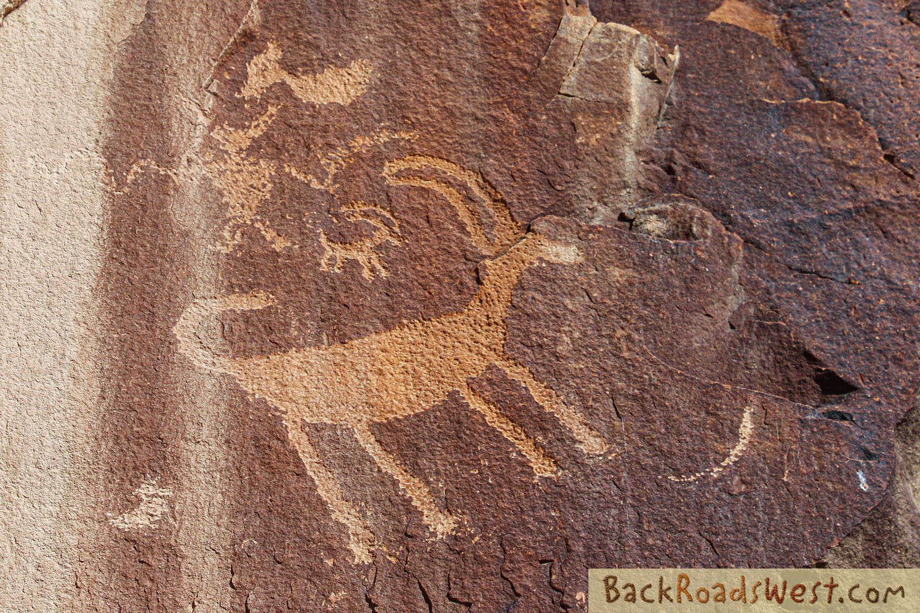
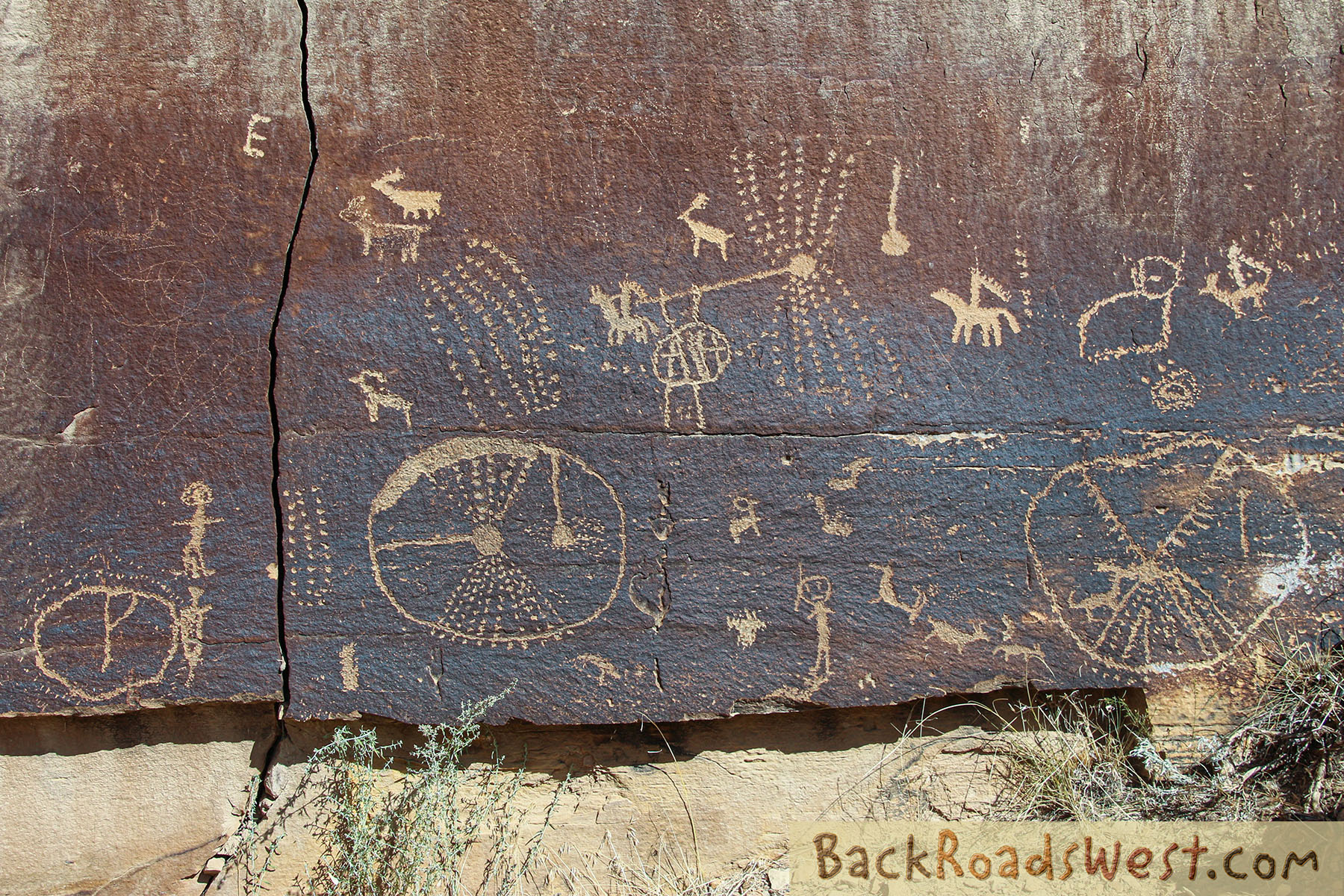
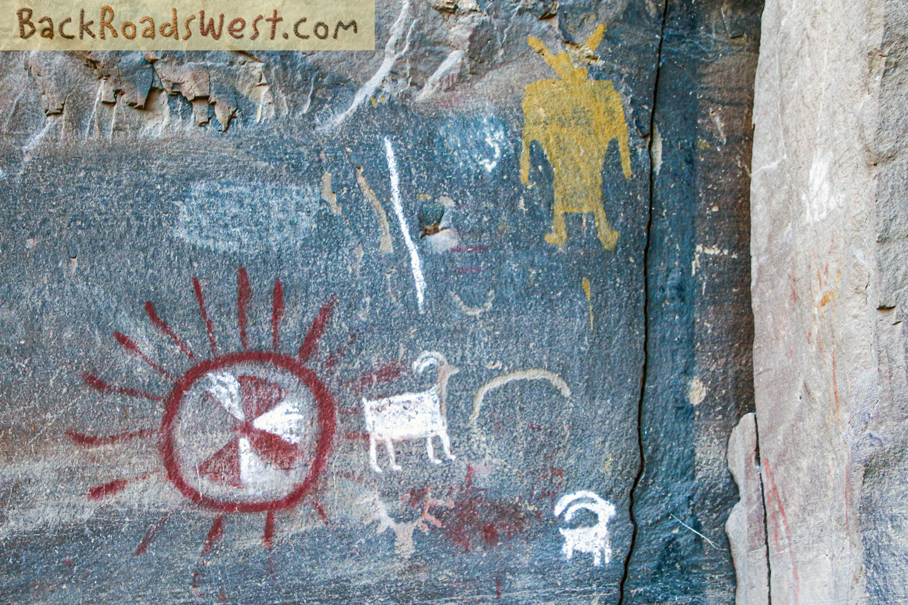
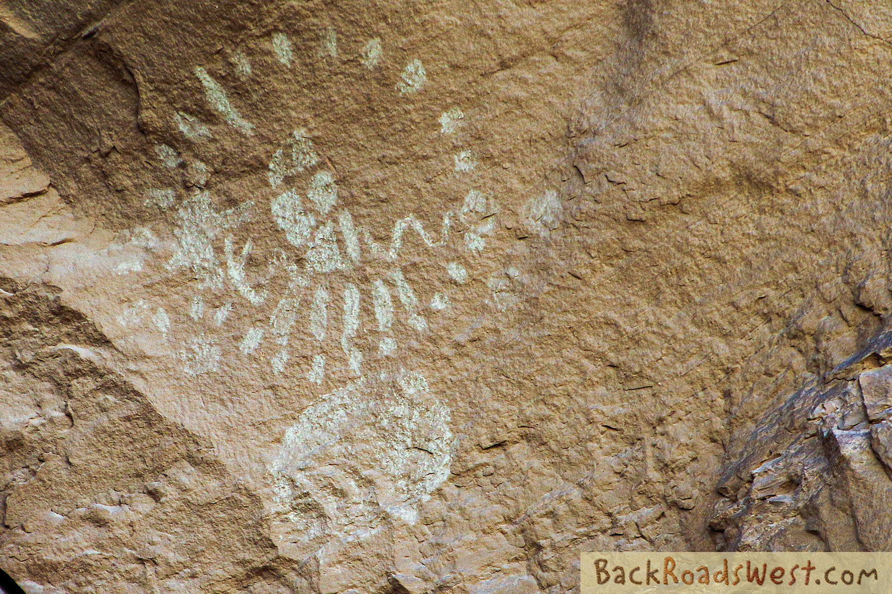
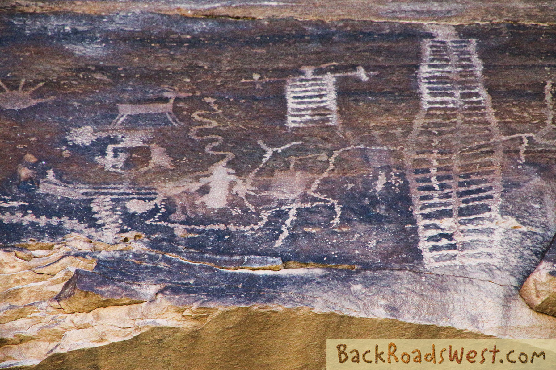
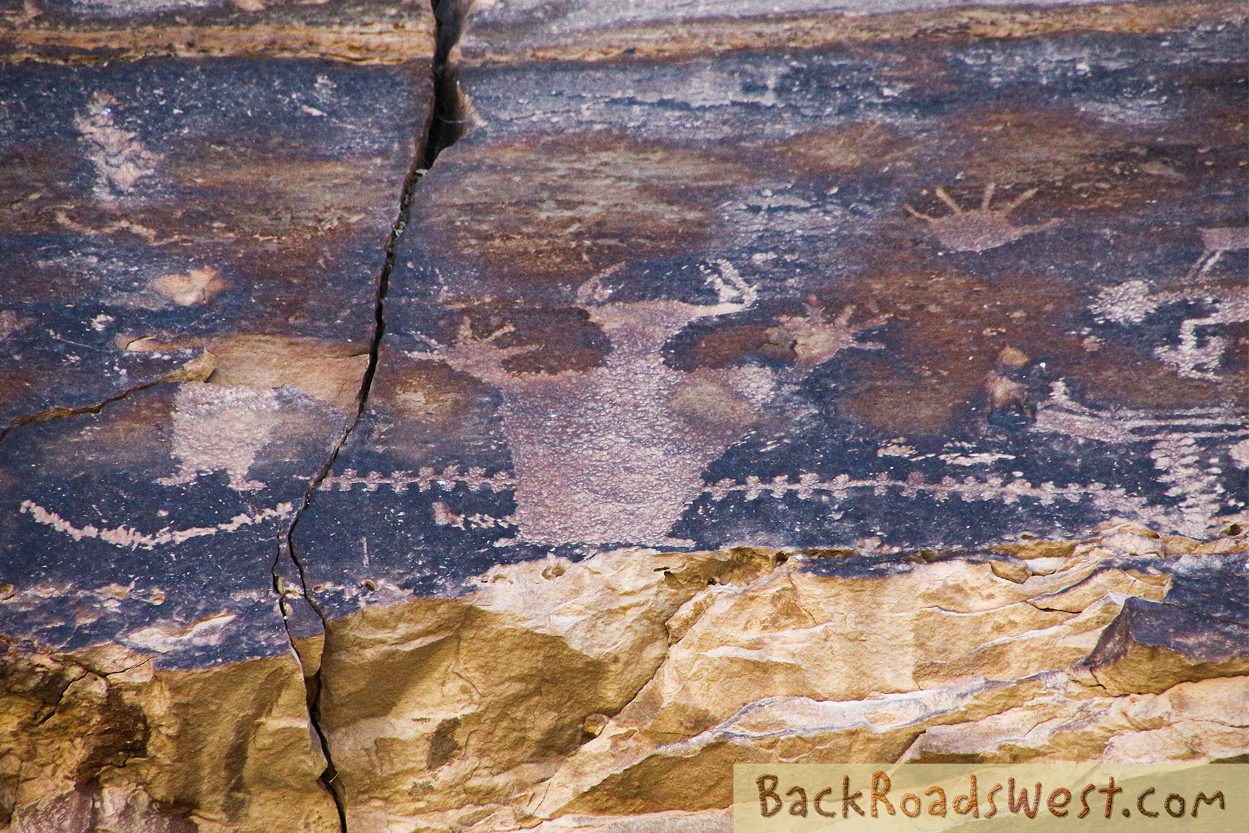
The following are several picture galleries of the more popular rock art panels in Nine Mile Canyon. This will give you more time to study each panel rather than seeing pictures fly by in our video tour.
Instructions to Using the Gallery
Click on an individual picture to view a larger image. Press the F11 key on the keyboard to view full screen.
Use the [>] and [<] buttons found on the right and left side of image to flip through all images. The right and left arrow keys on the keyboard can also be used.
Exit full screen mode by pressing the Esc key. Exit larger image mode by clicking somewhere off the image.
First Site
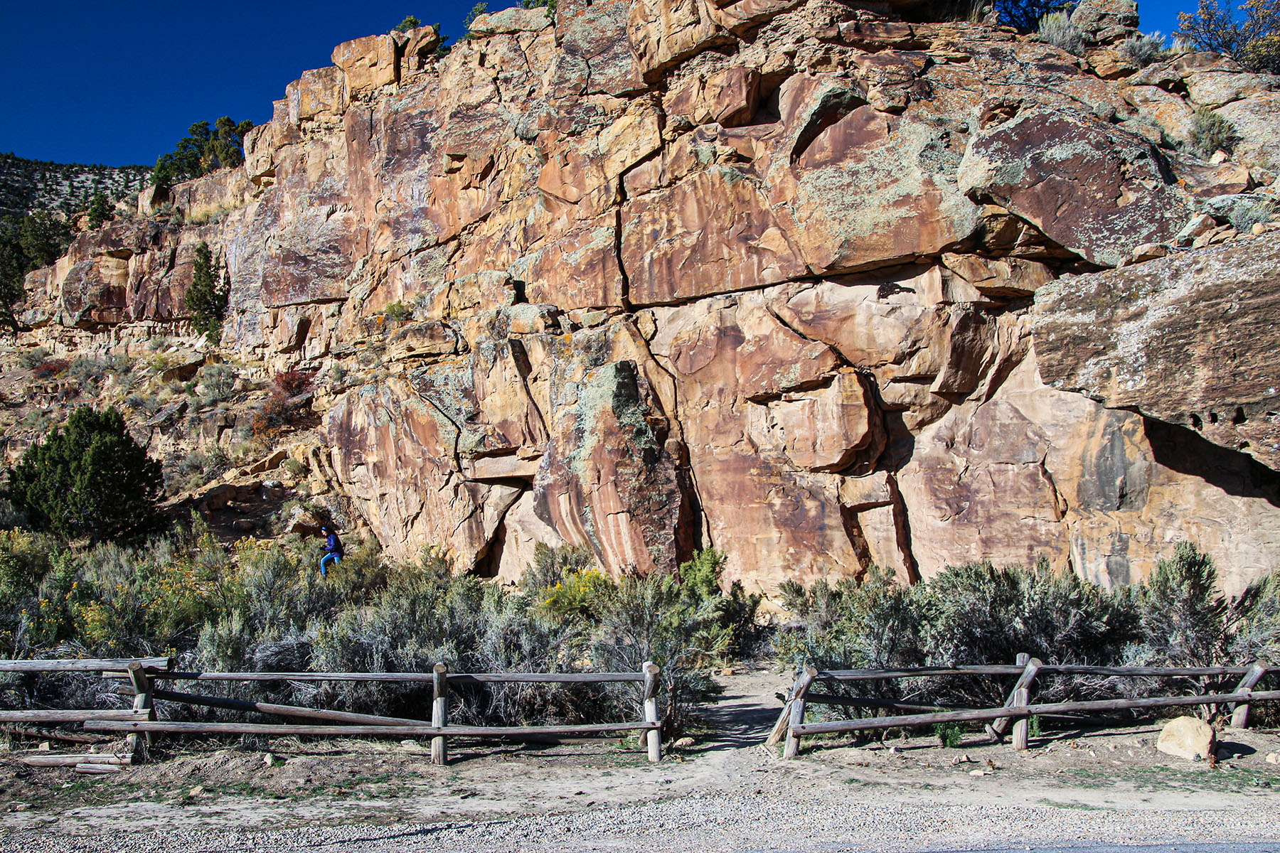
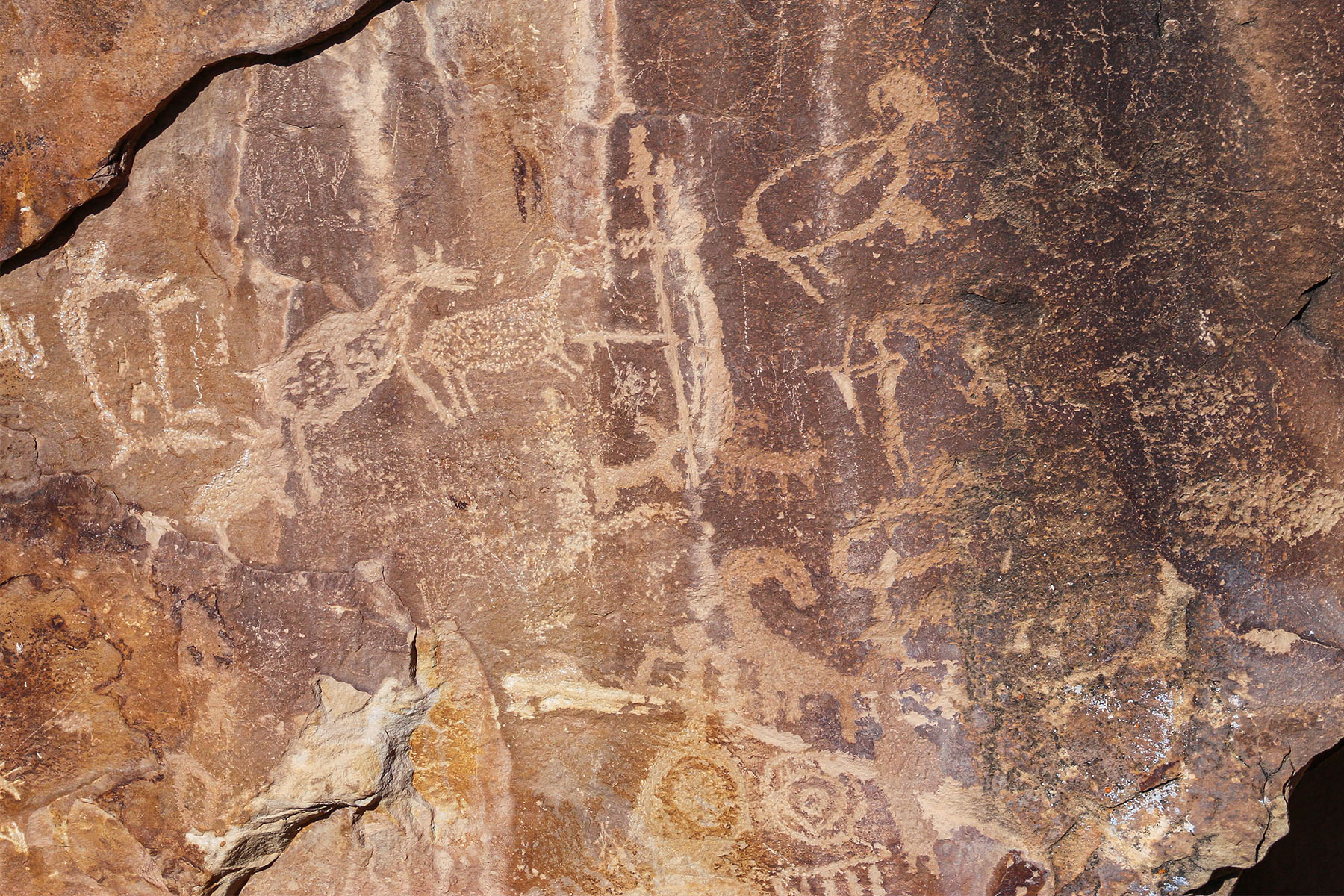
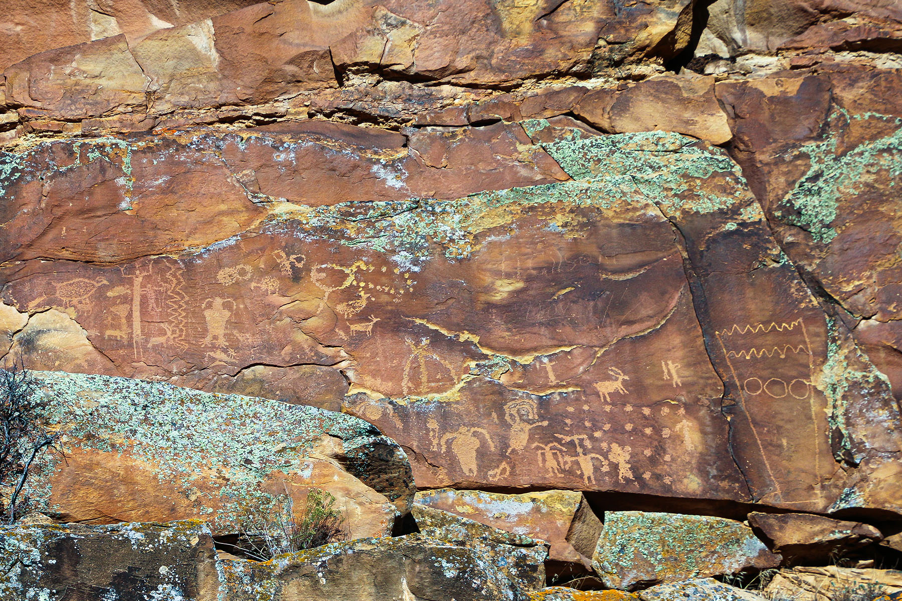
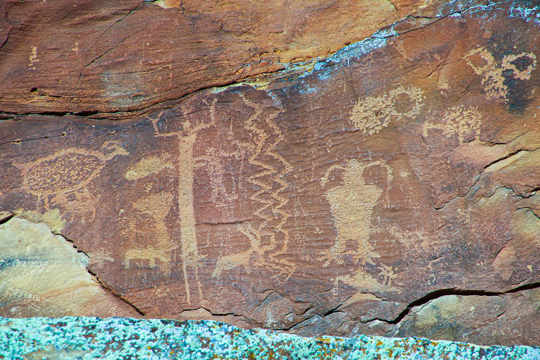
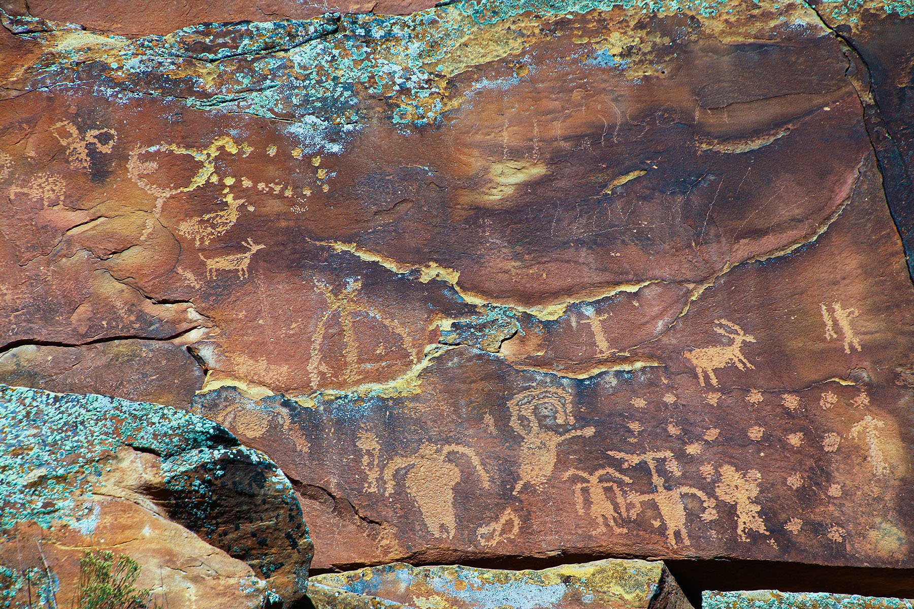
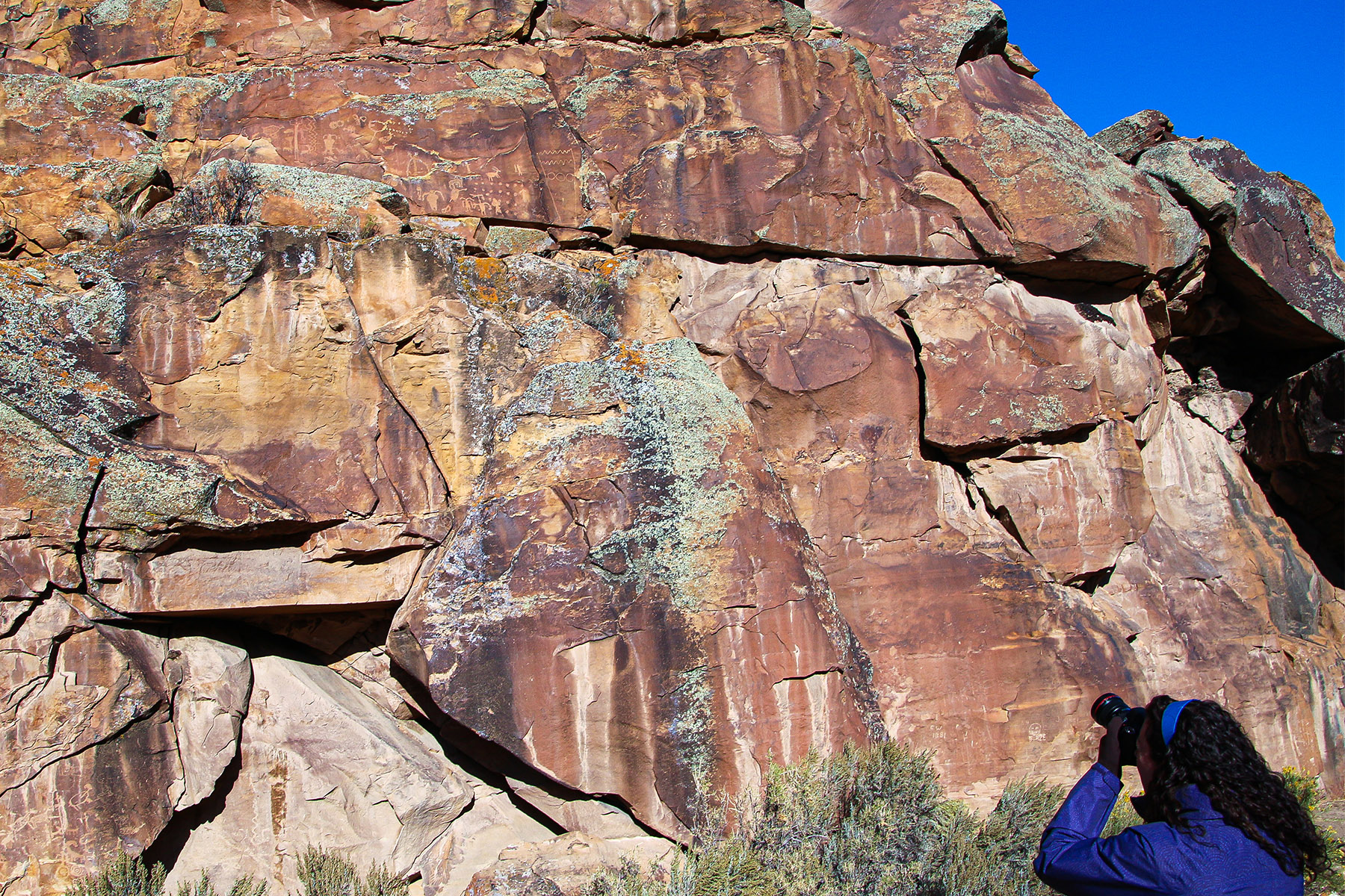
This is the first rock art panel site encountered when driving Nine Mile Canyon up from Wellington.
Balanced Rock Site
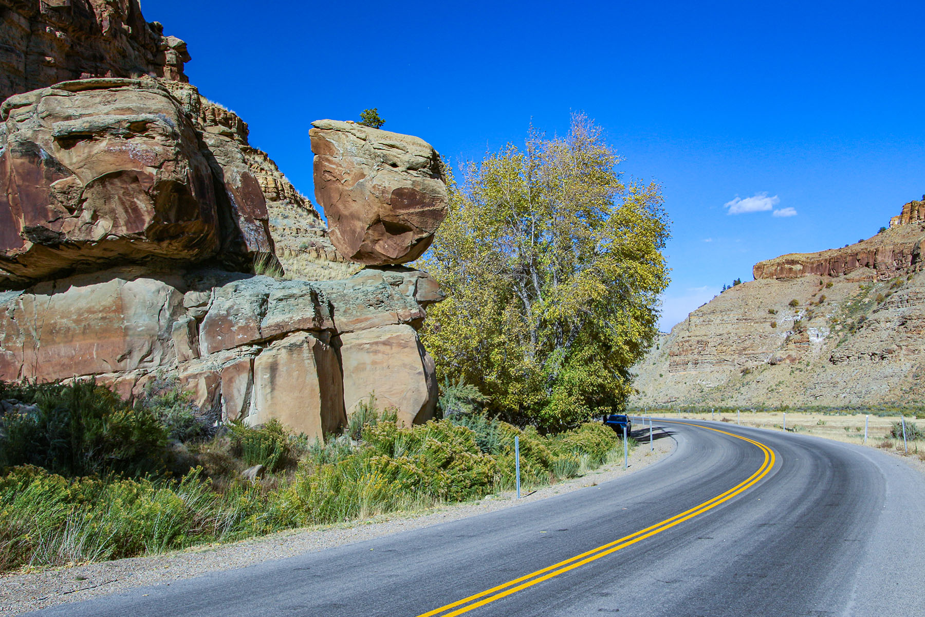
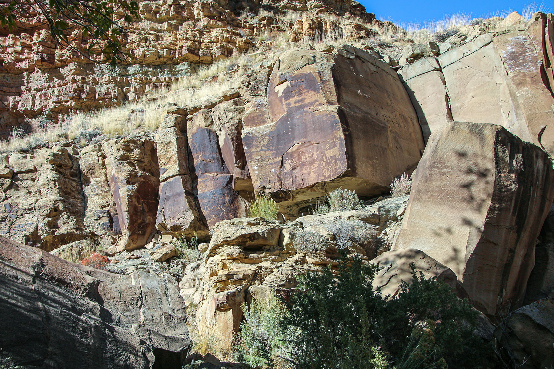
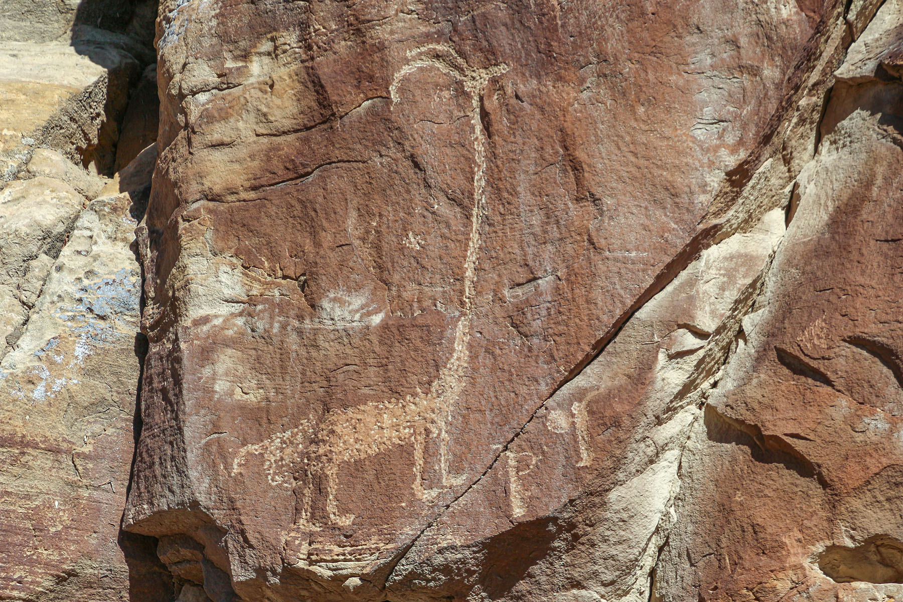
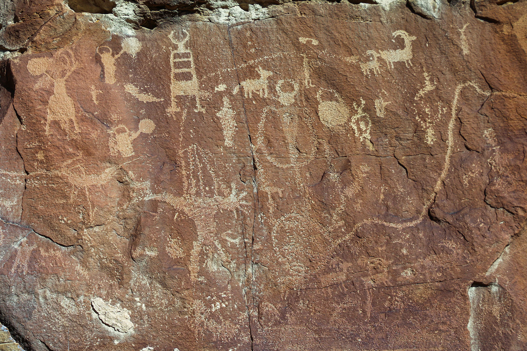
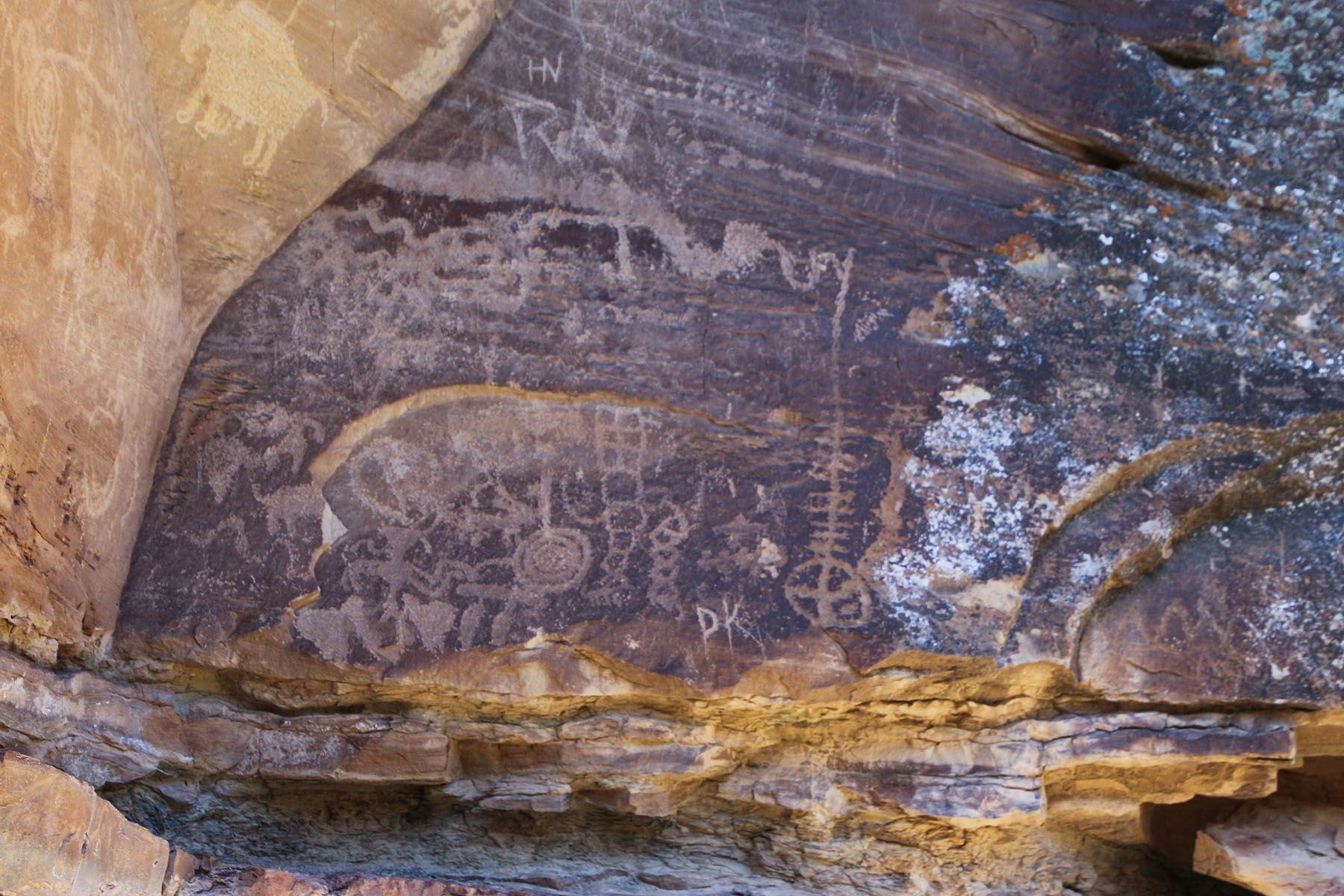
This rock panel is easy to spot because of the “you can’t miss it” balanced rock seen on the left side of the road. This rock is also known as Pig Head Rock.
Much of the rock art can be found just behind the balanced rock. More can be found a few hundred feet further down the road. Some are up high, so look at all the rock faces.
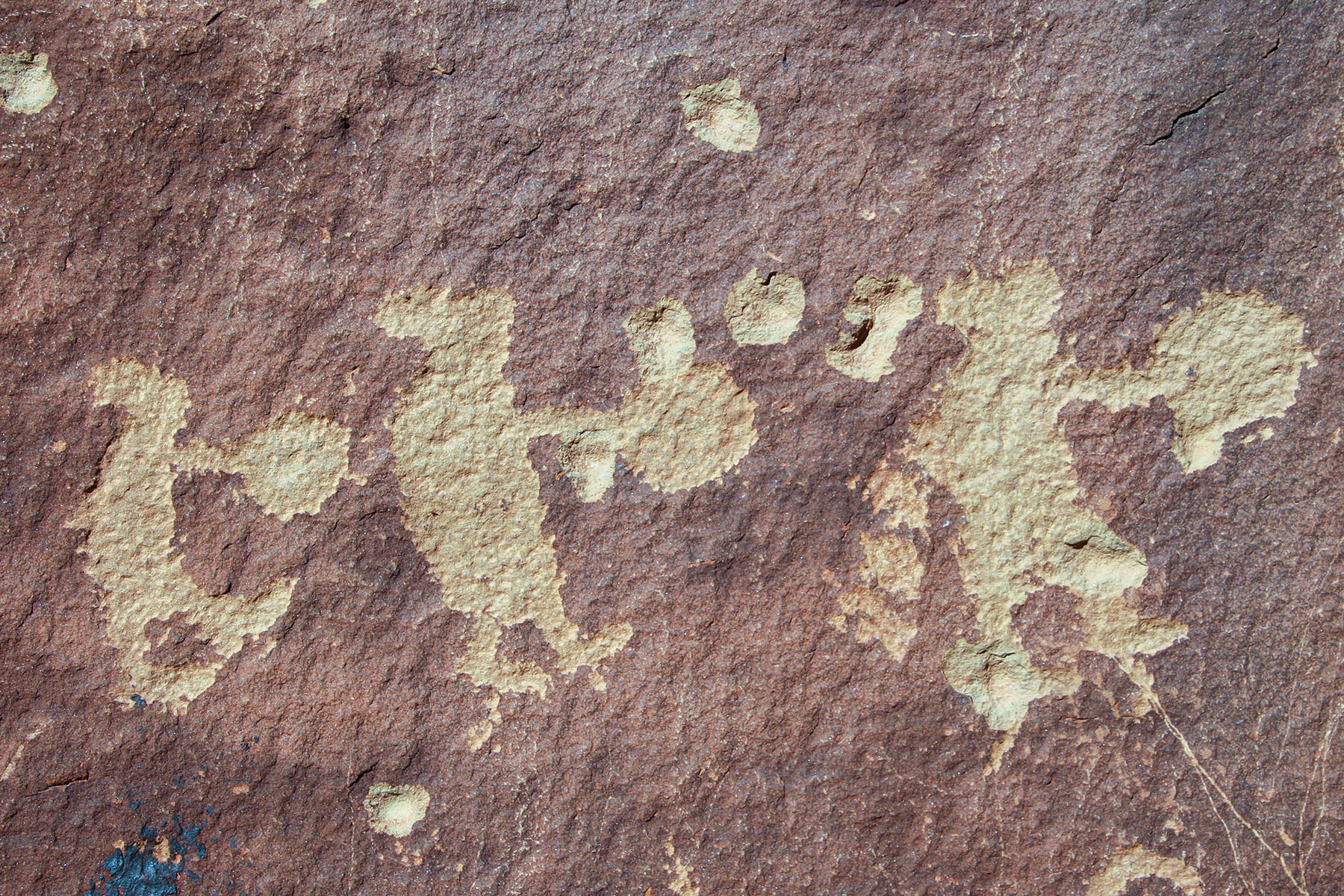
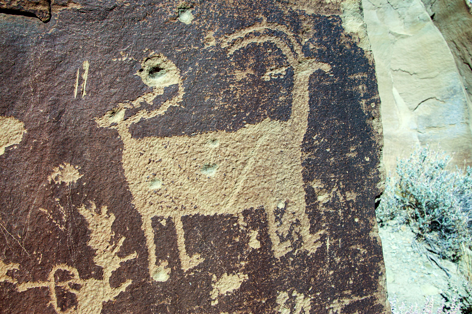
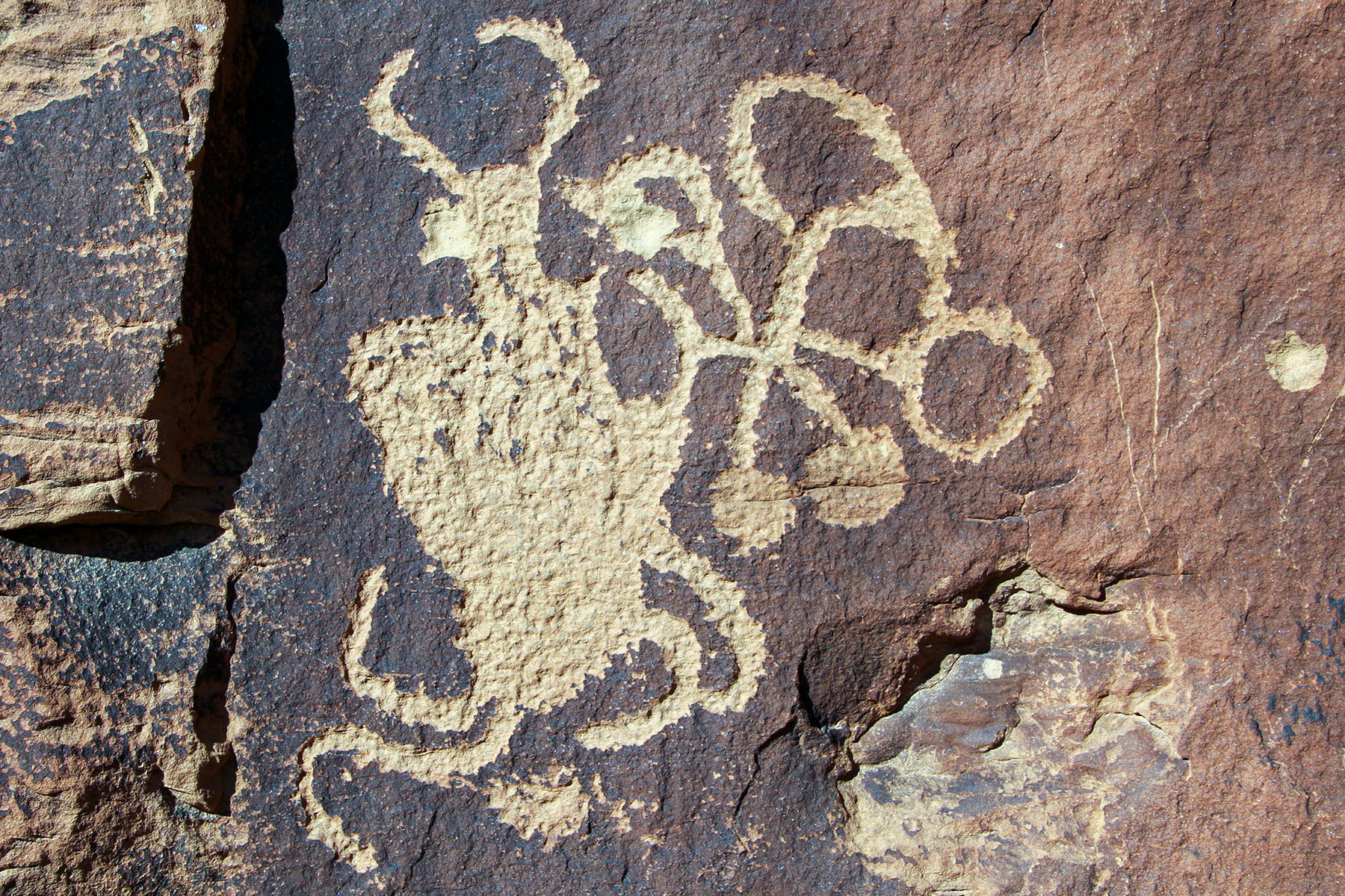
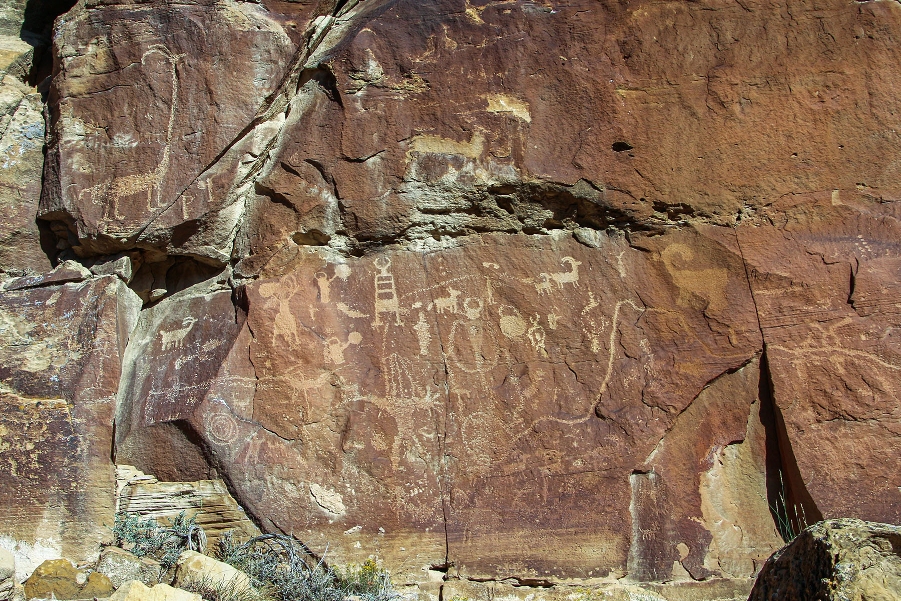
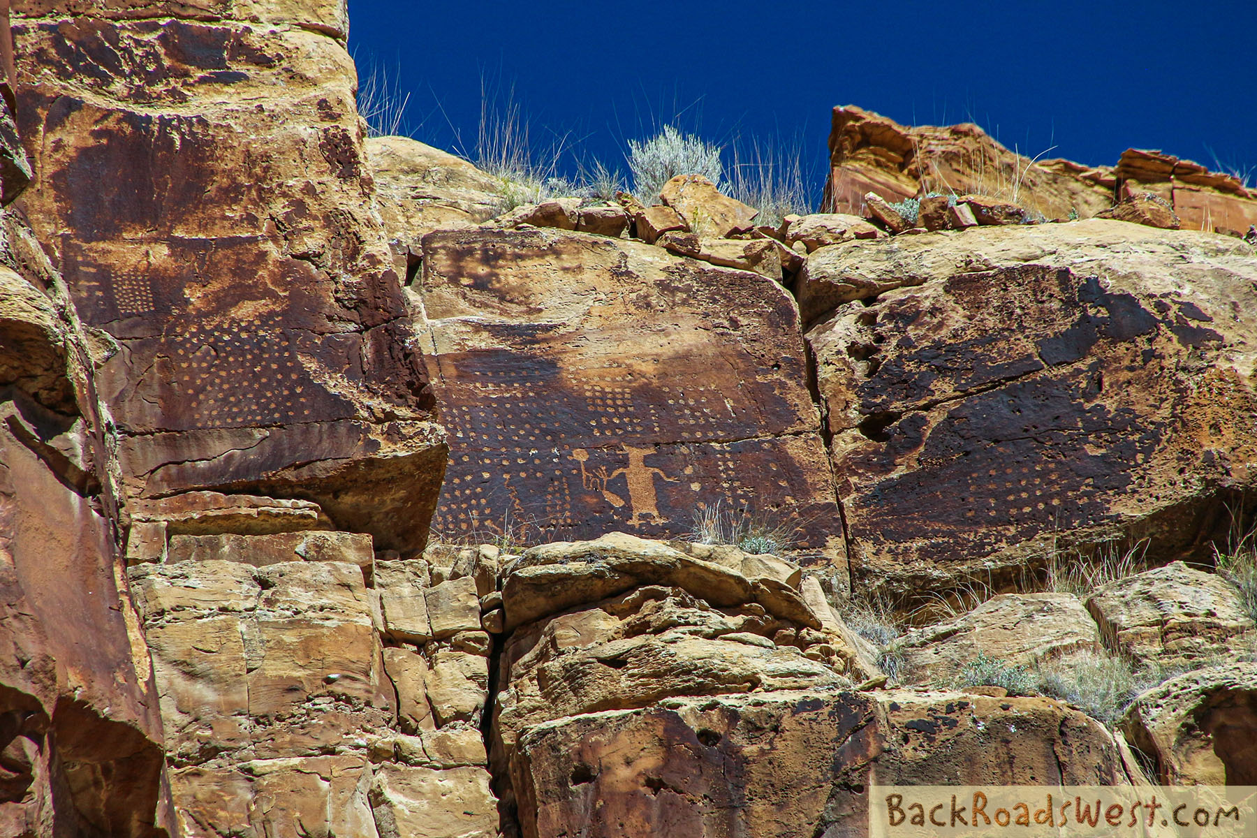
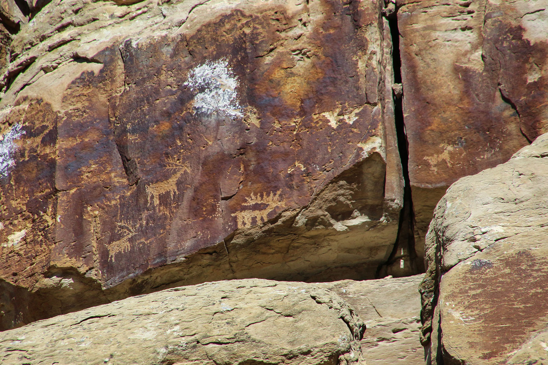
Coyote Placing Stars
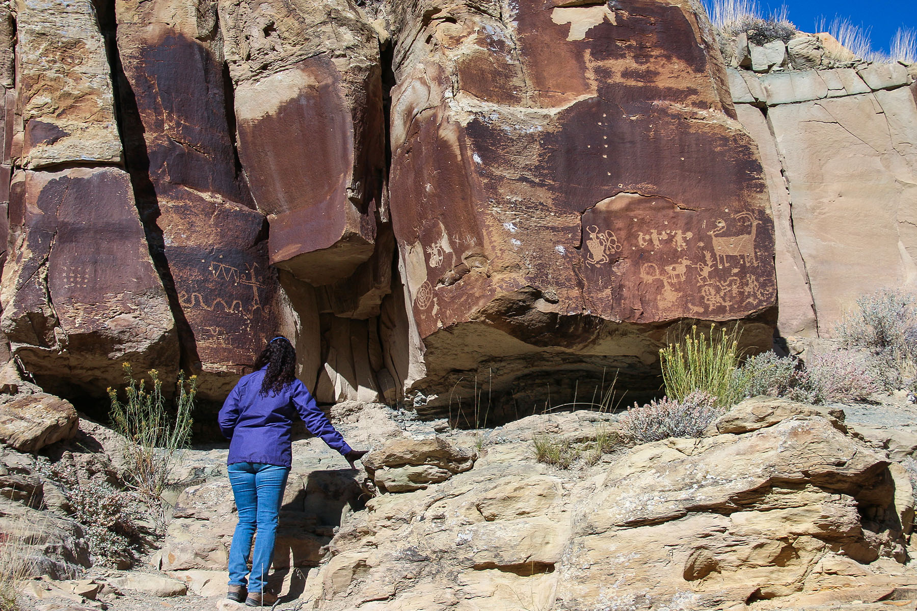
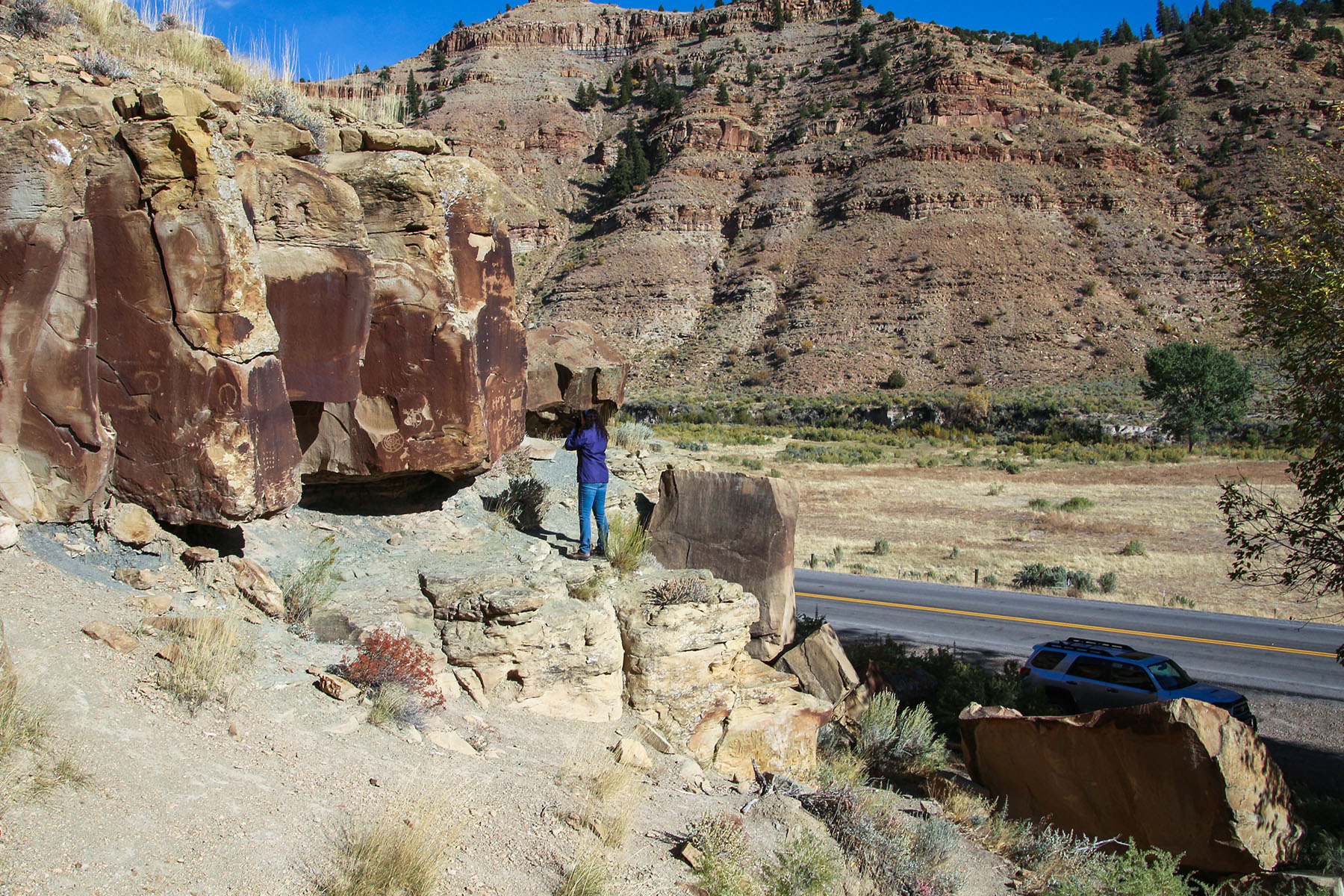
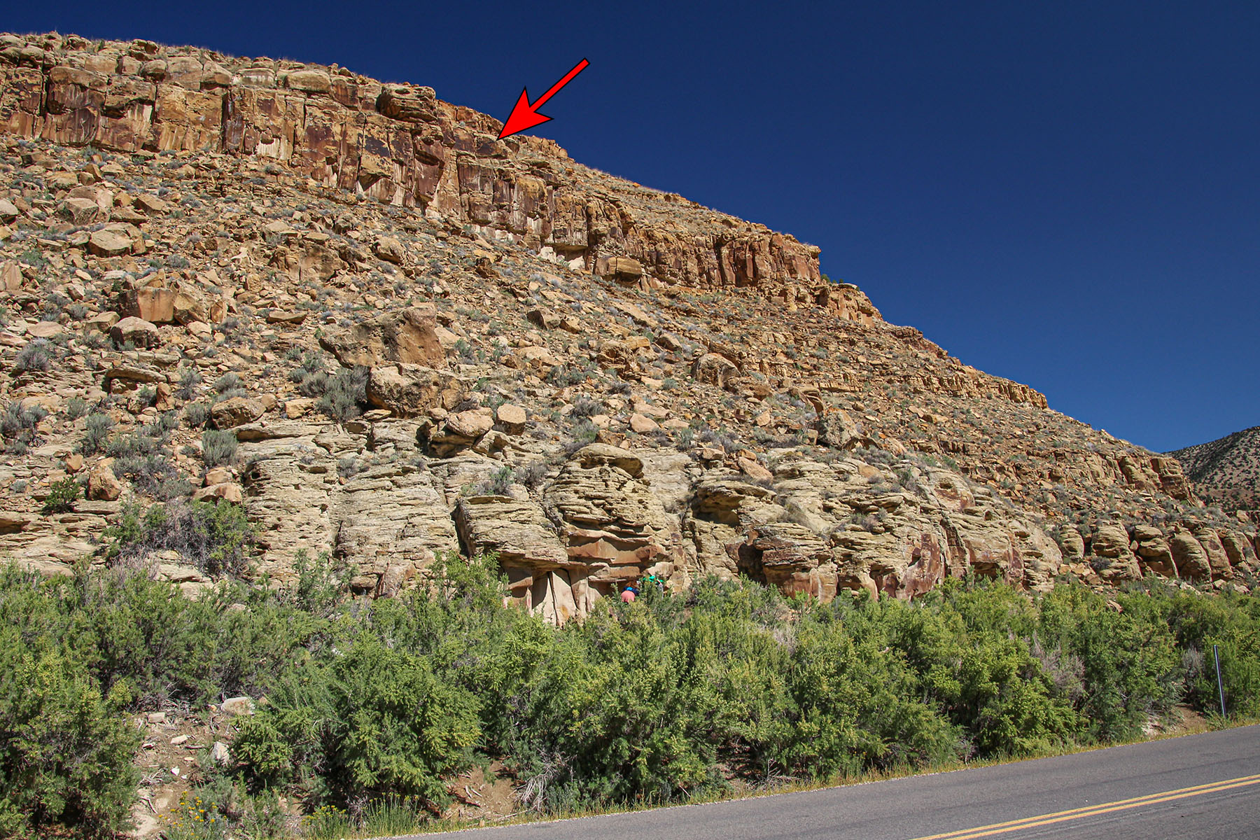
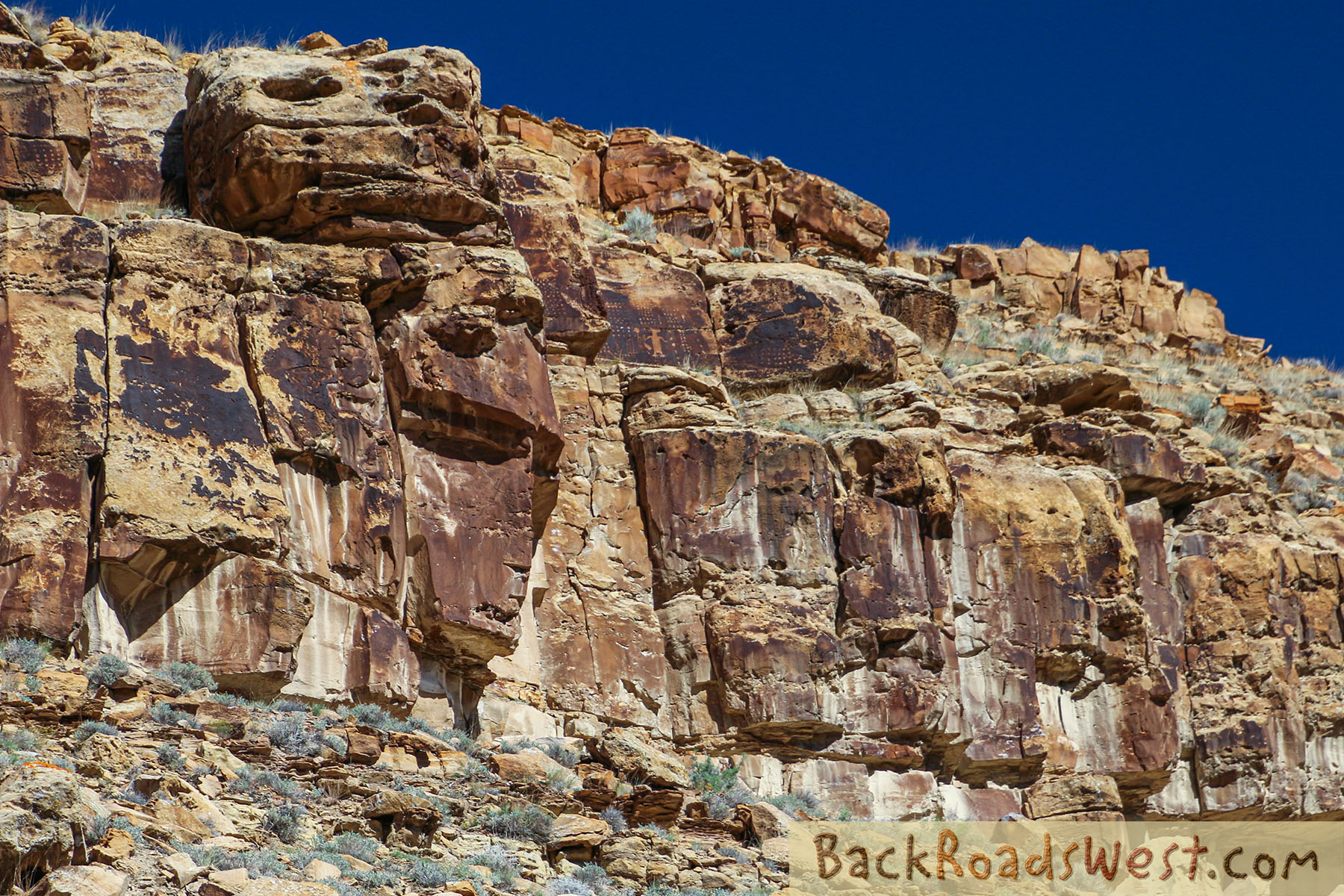
This is one of the more popular panels in Nine Mile Canyon. The panel is high above the road and located on the highest vertical ridge. There is a spotting tube installed along the road making it easy to find. However, looking at it closely requires binoculars or a spotting scope – or a camera outfitted with a zoom lens, which is what we had.
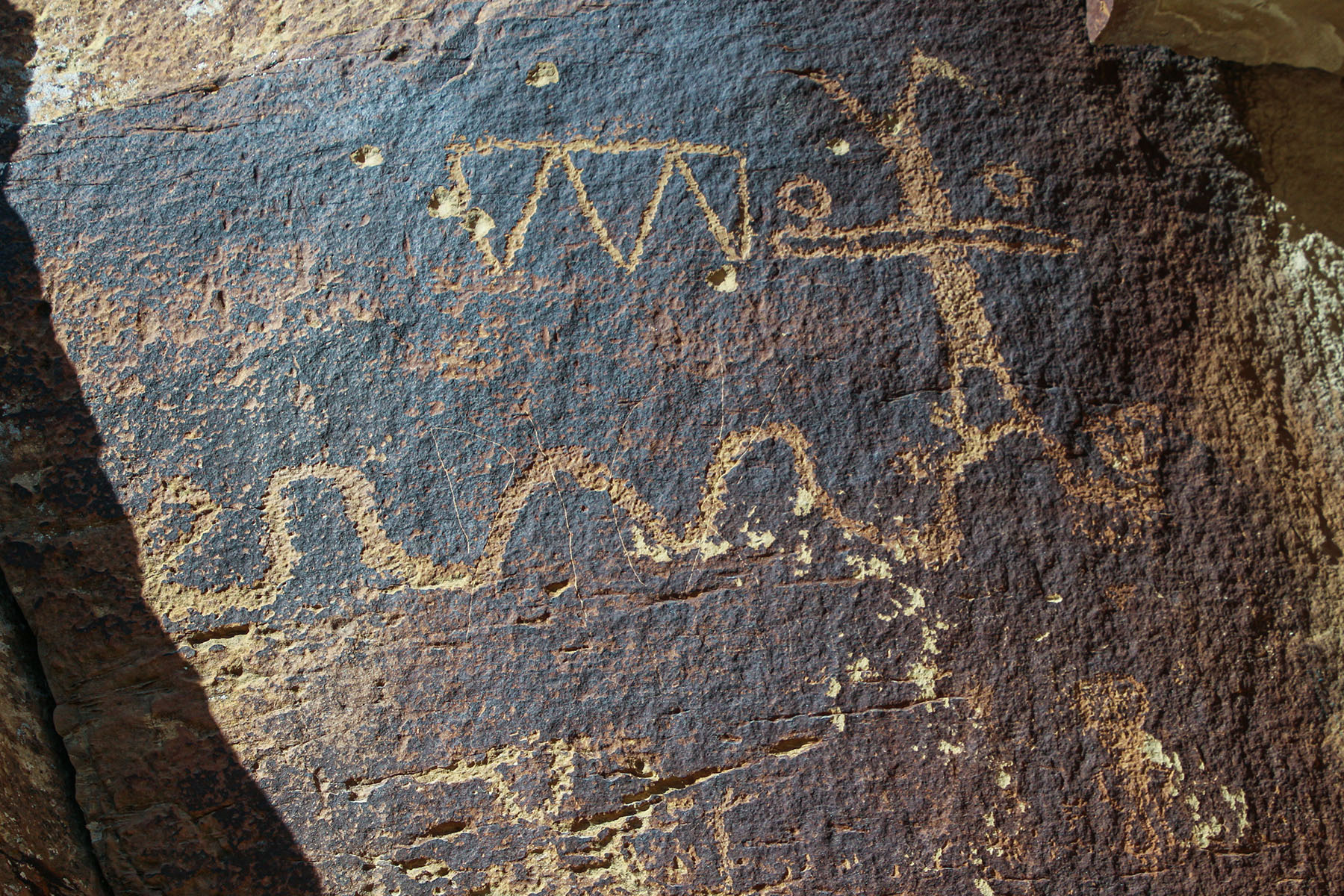
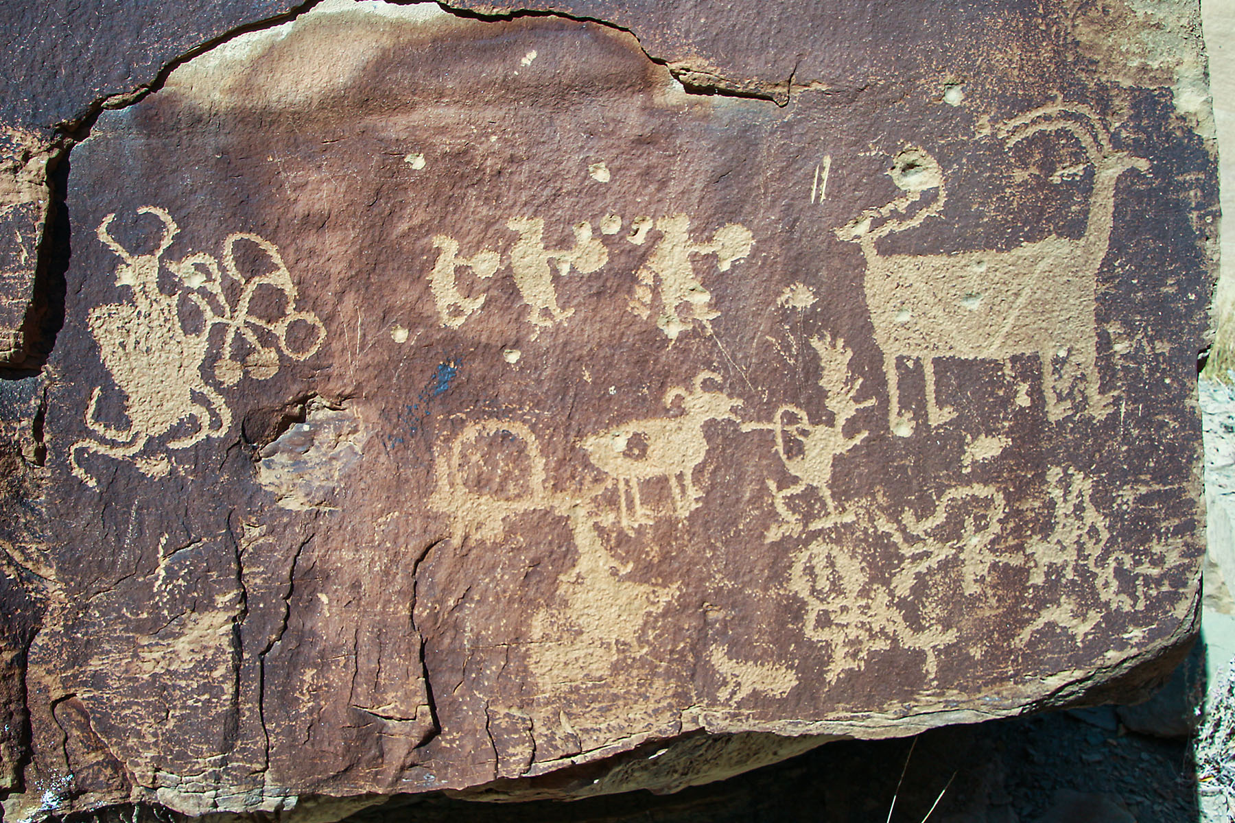
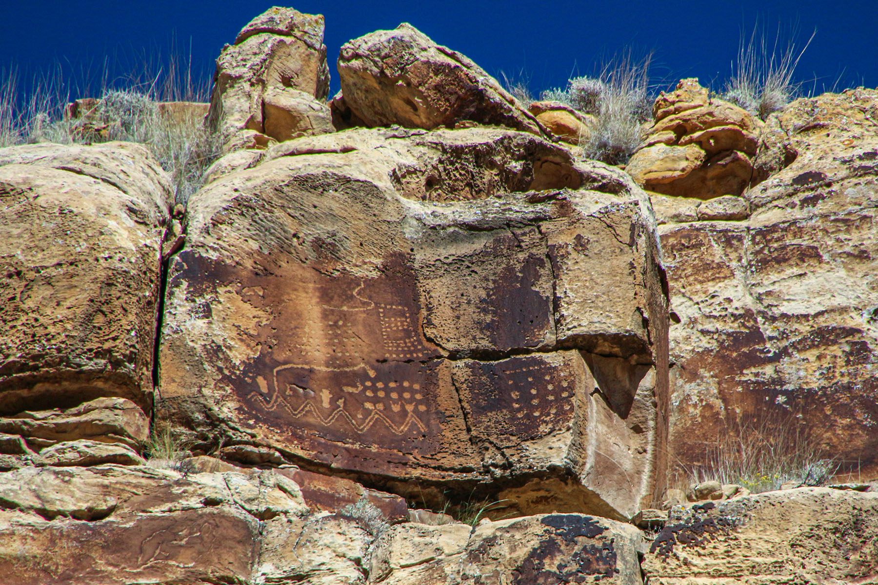
Many panels include one or more series of dots. This panel has several series of dots. In the middle of the dots is an illustration of an animal, perhaps a coyote, that’s standing on its hind legs. Since the dots can be thought of stars, and the animal has it’s paw up, it can be thought of a coyote that is tossing stars up into the sky.
Many Native American tribes have similar stories of the stars being placed up into the sky by a coyote. The coyote pulls the stars out of a bag its holding. In this panel, what appears to be a bag appears near the animal’s right paw.
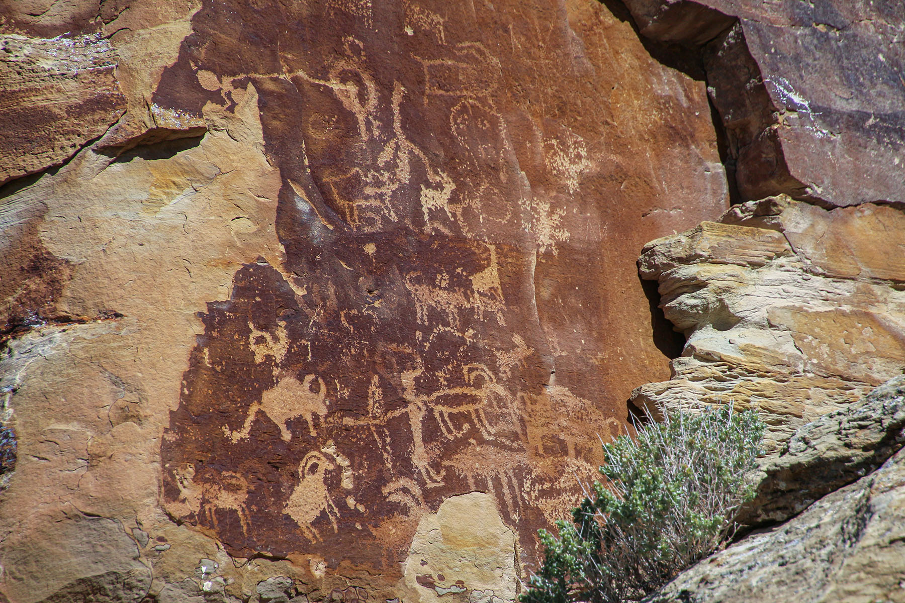
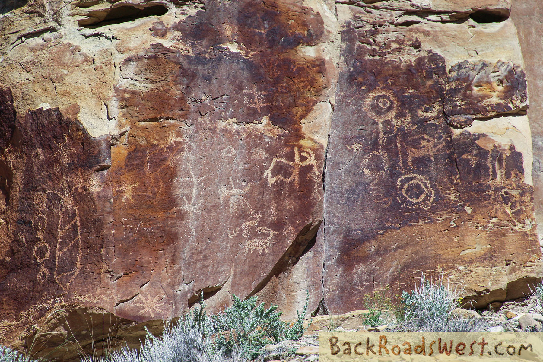
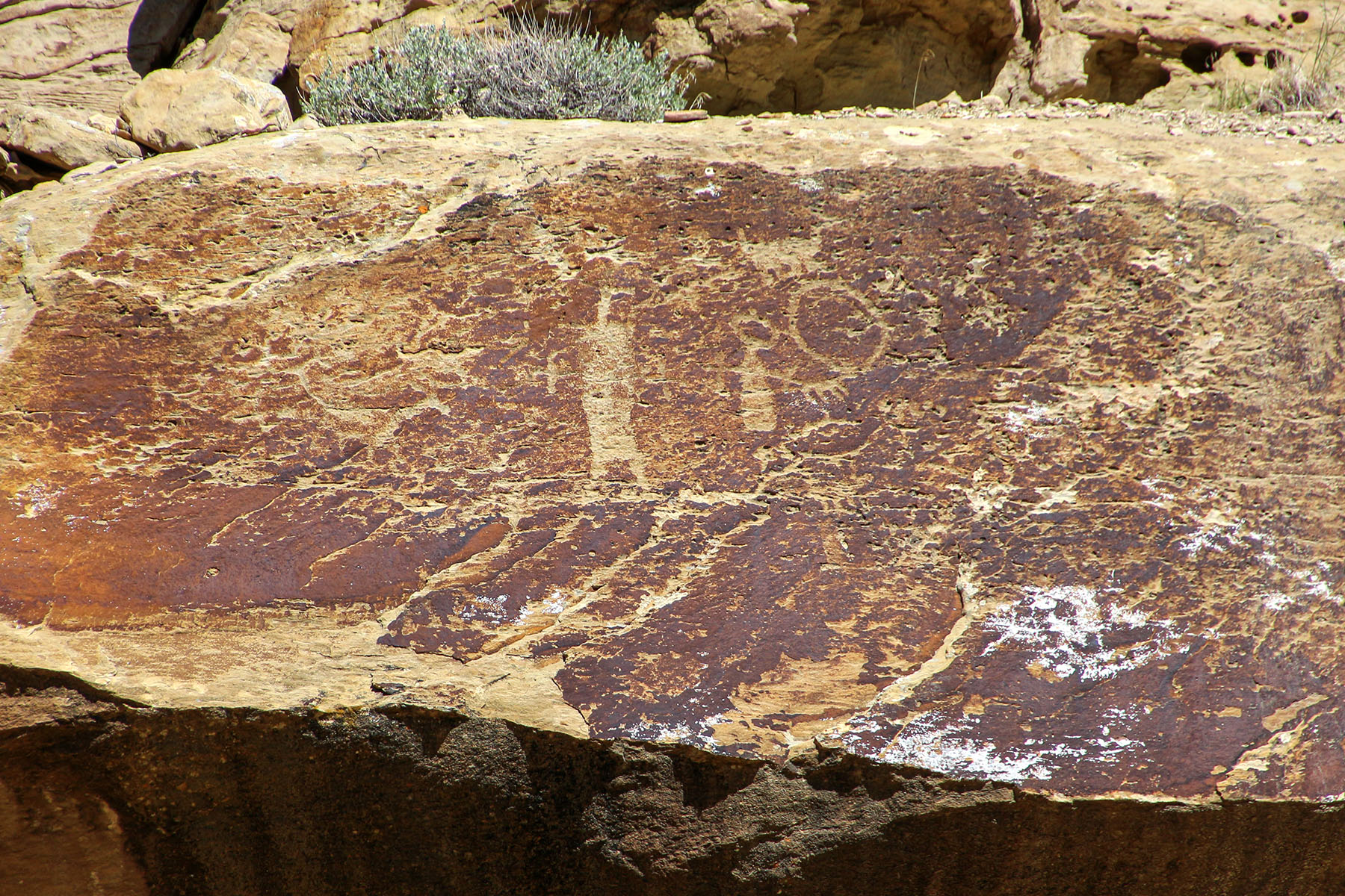
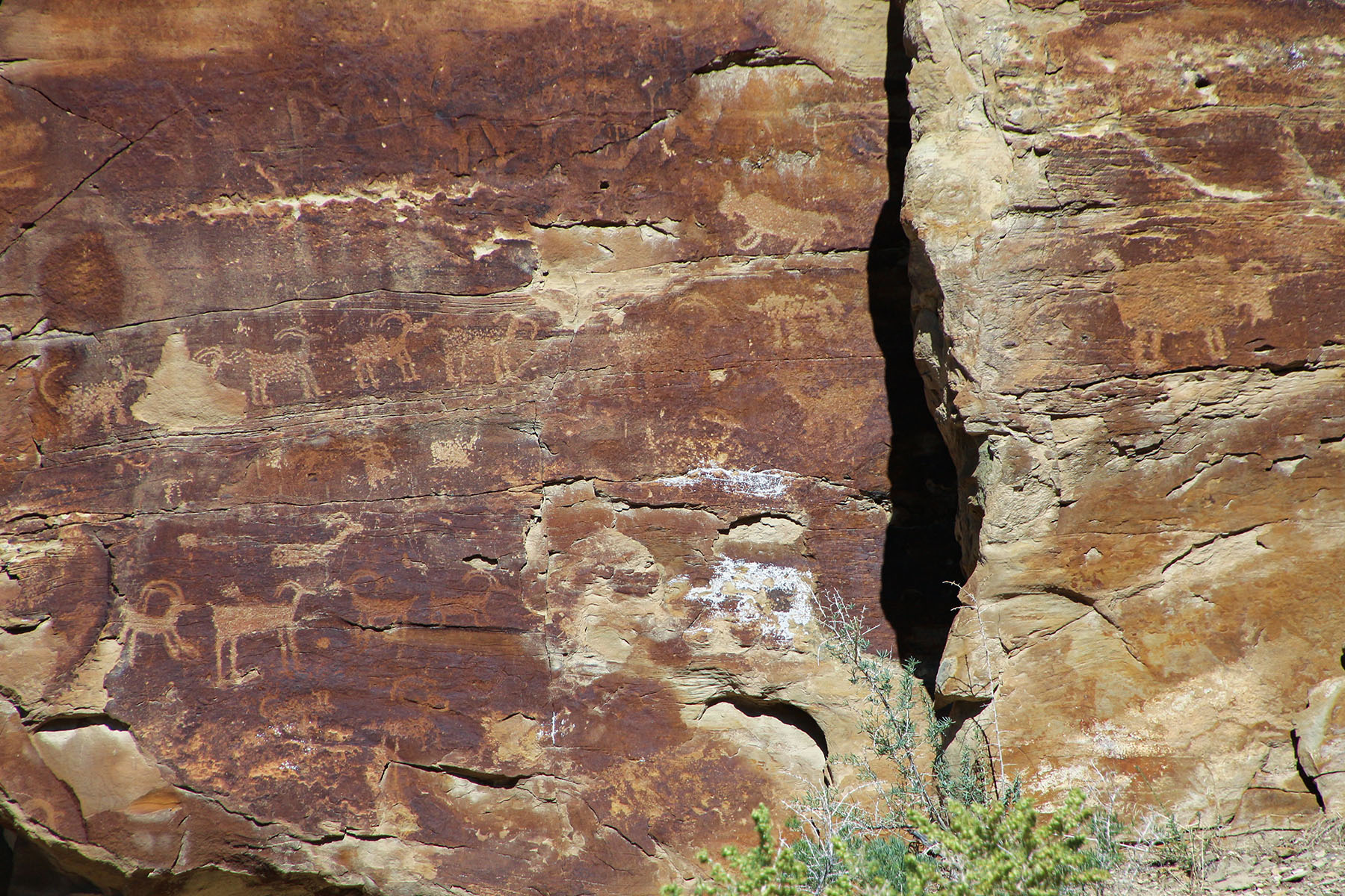
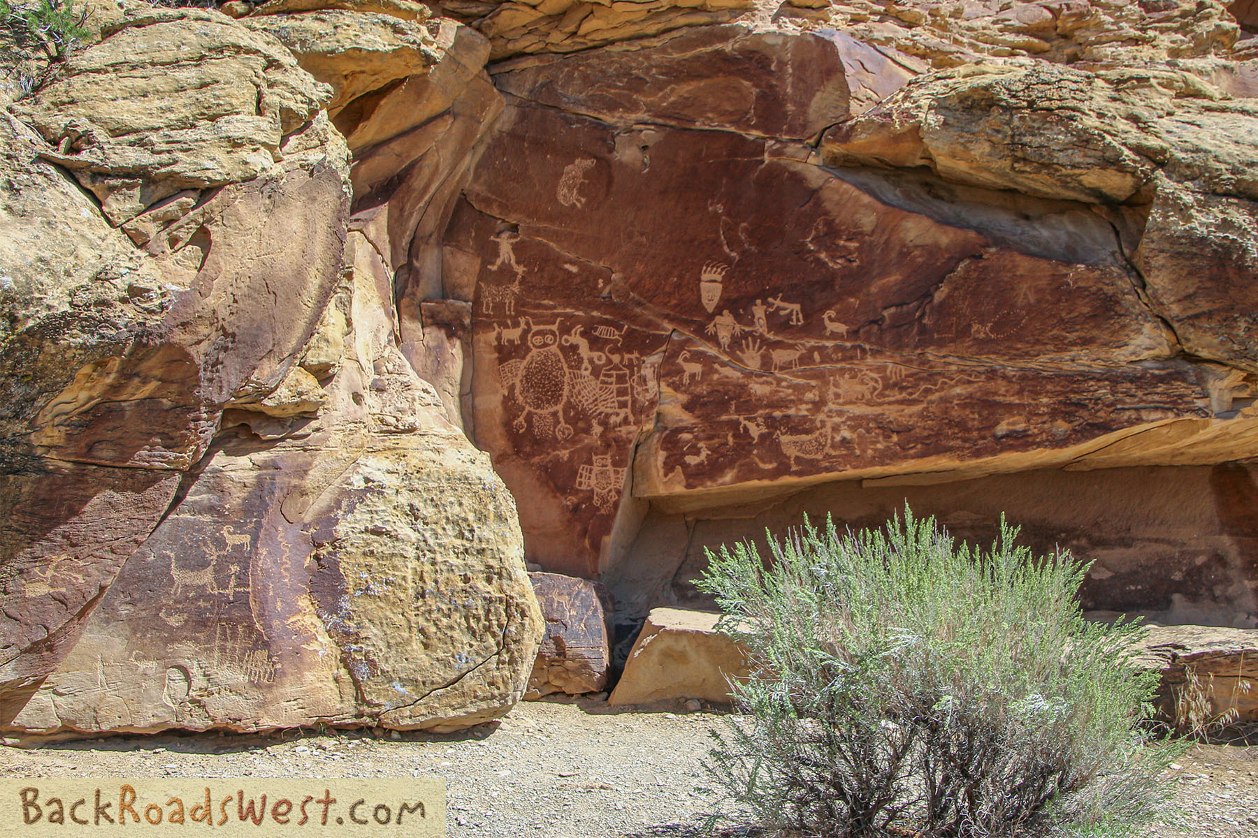
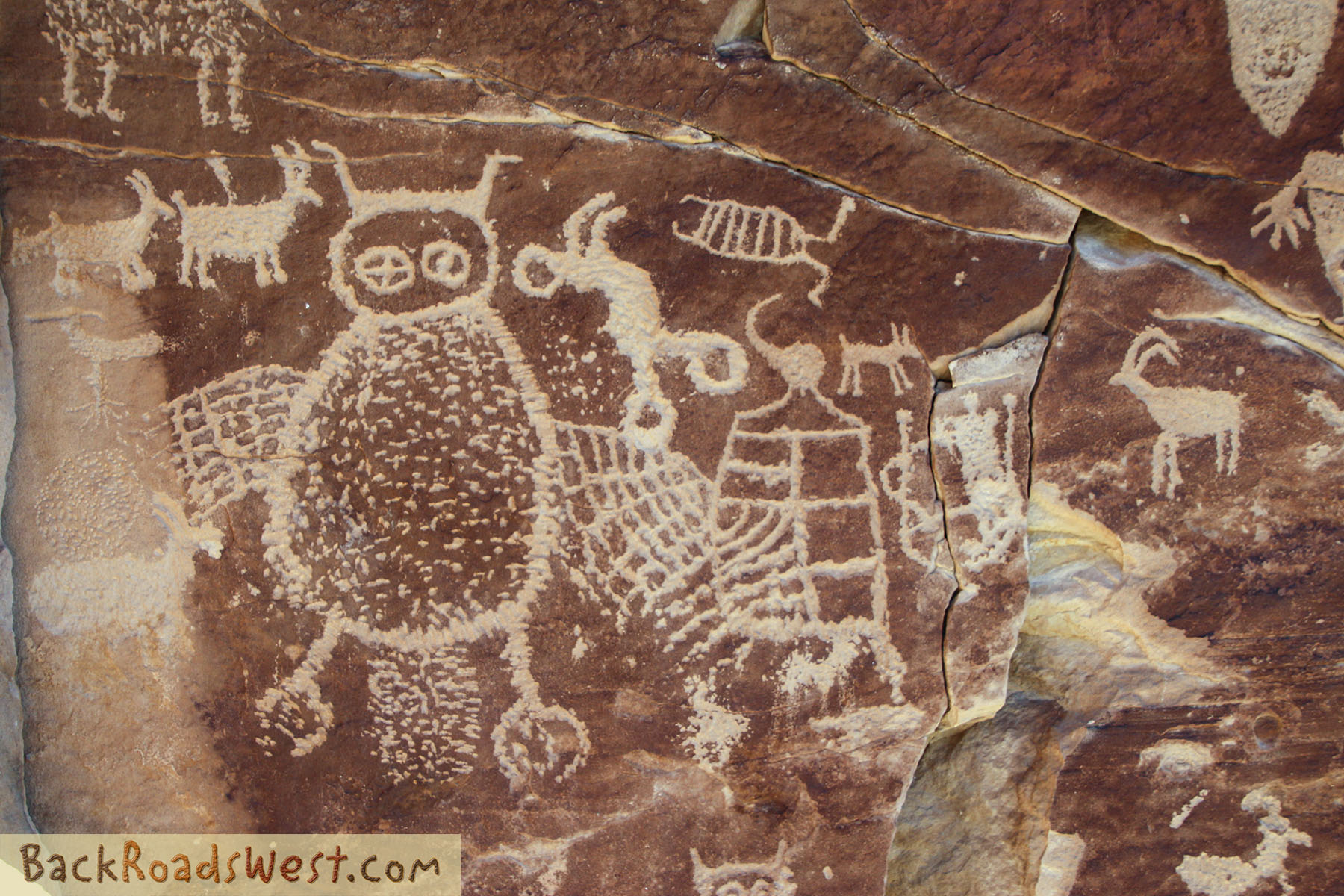
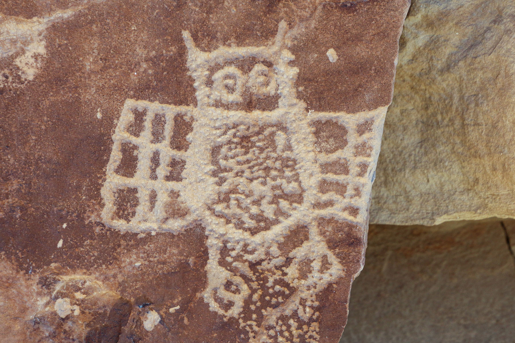
Owl Panel
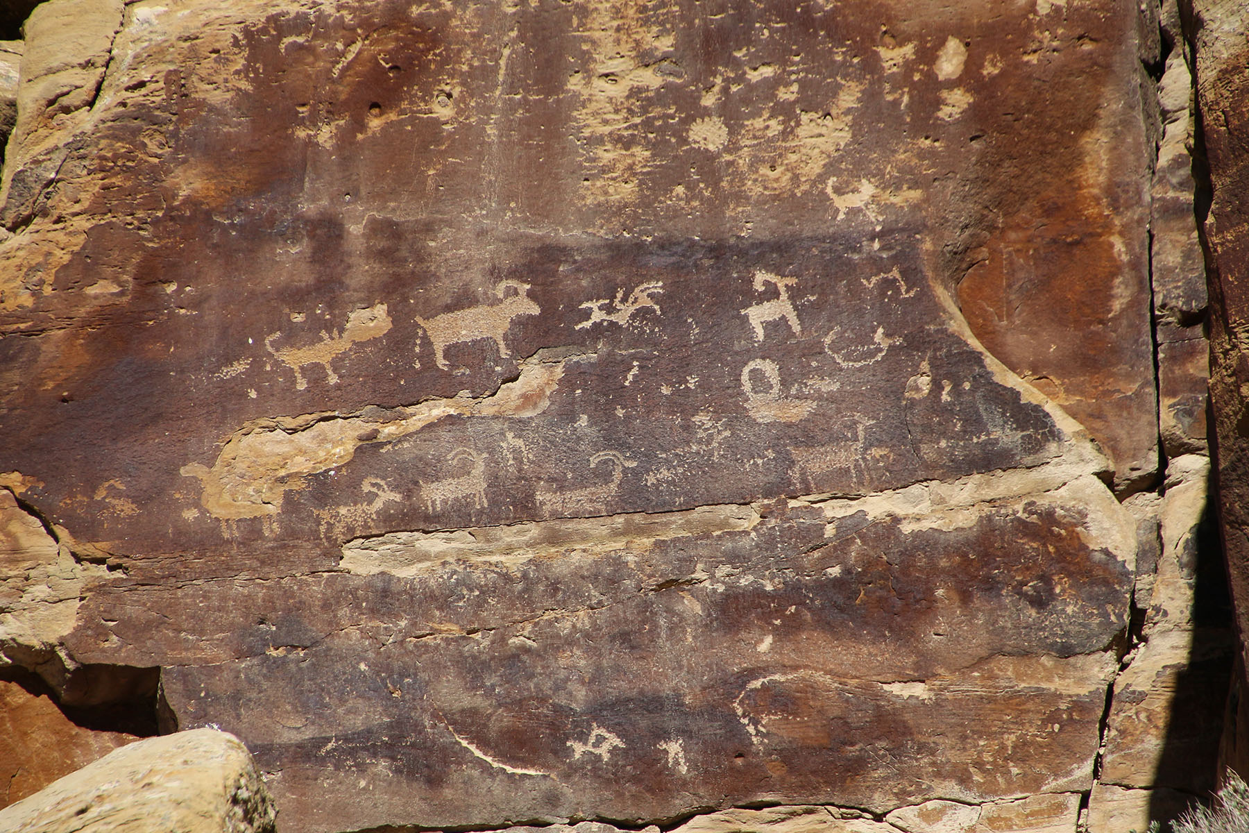
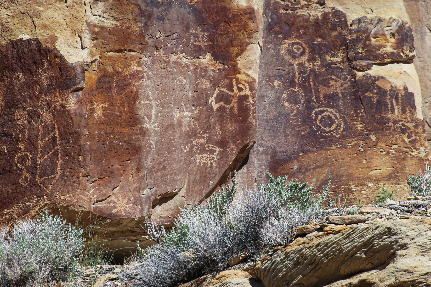
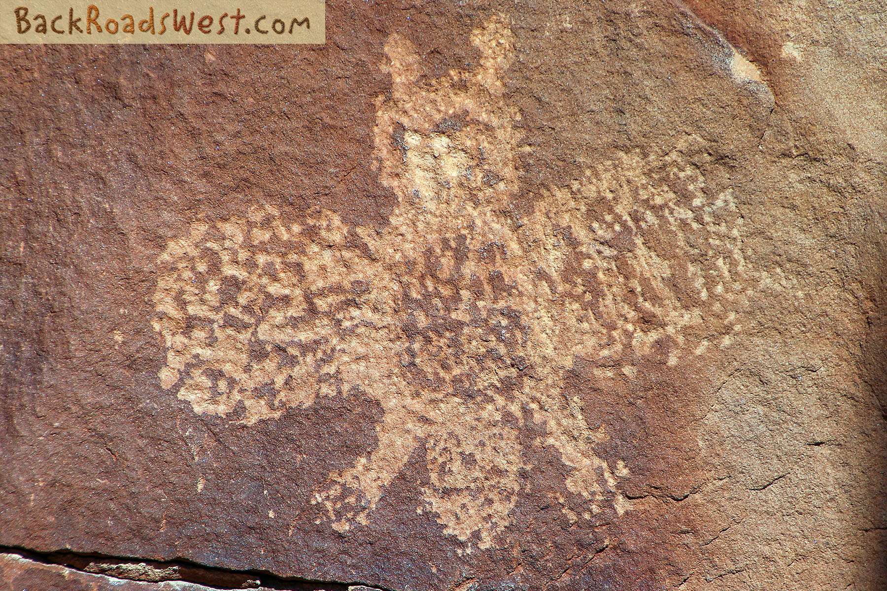
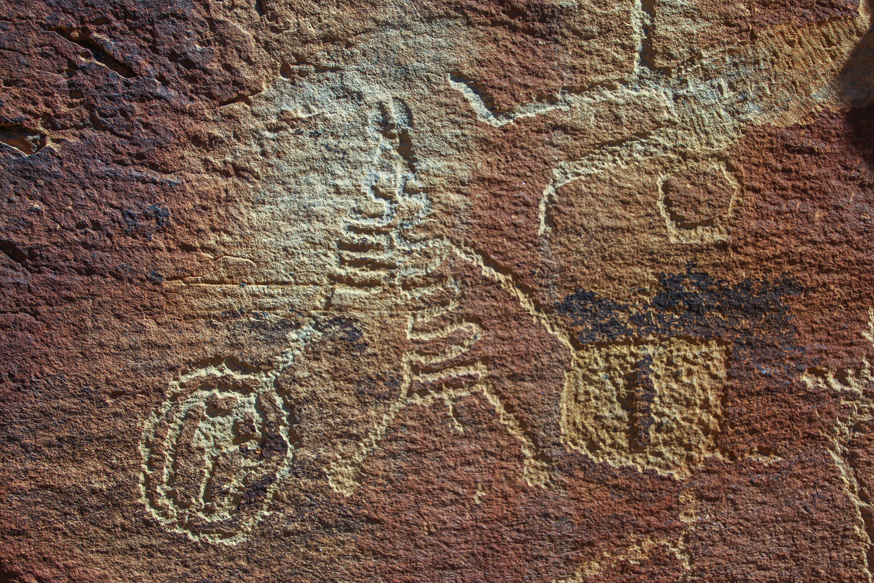
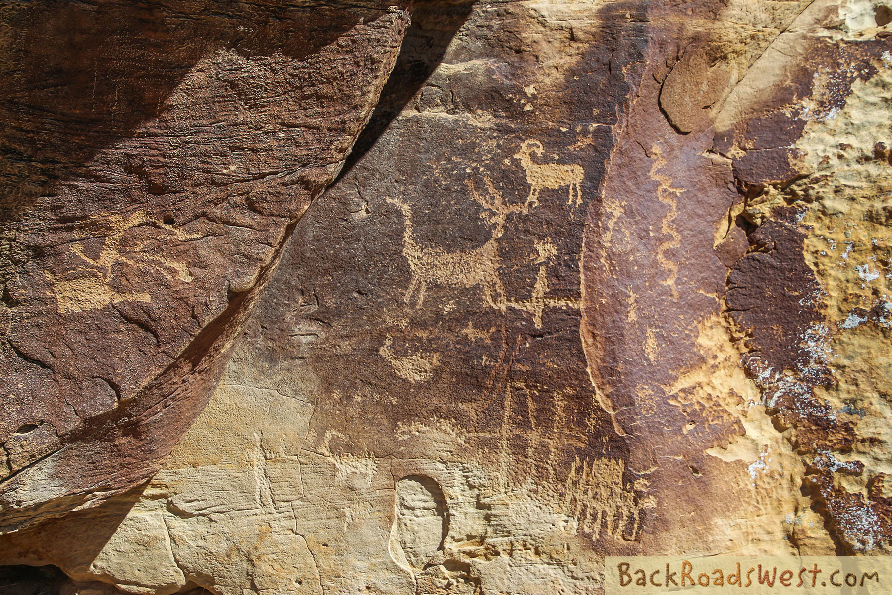
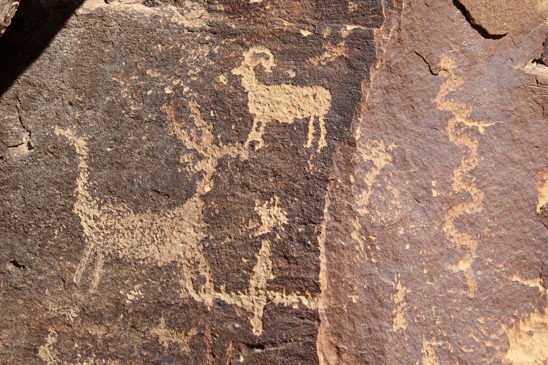
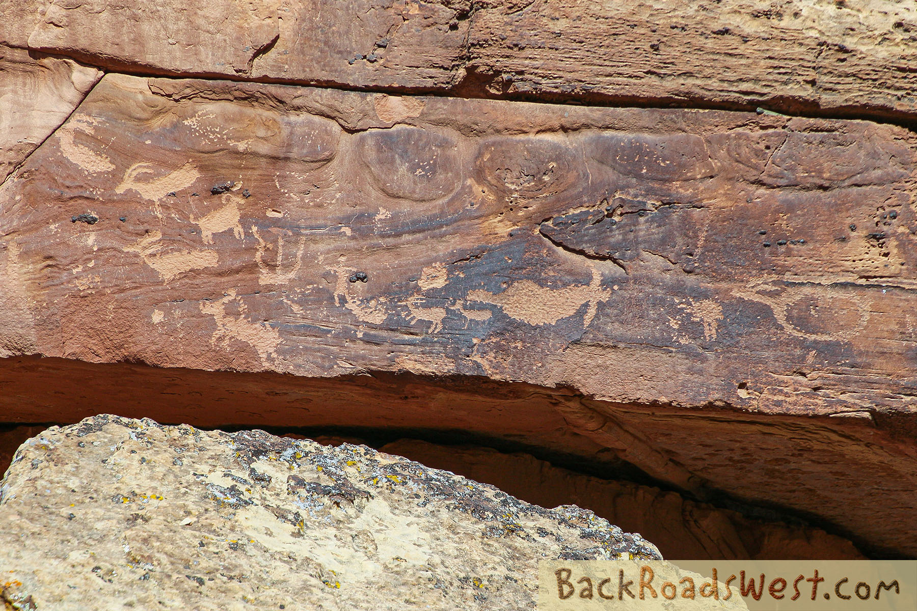
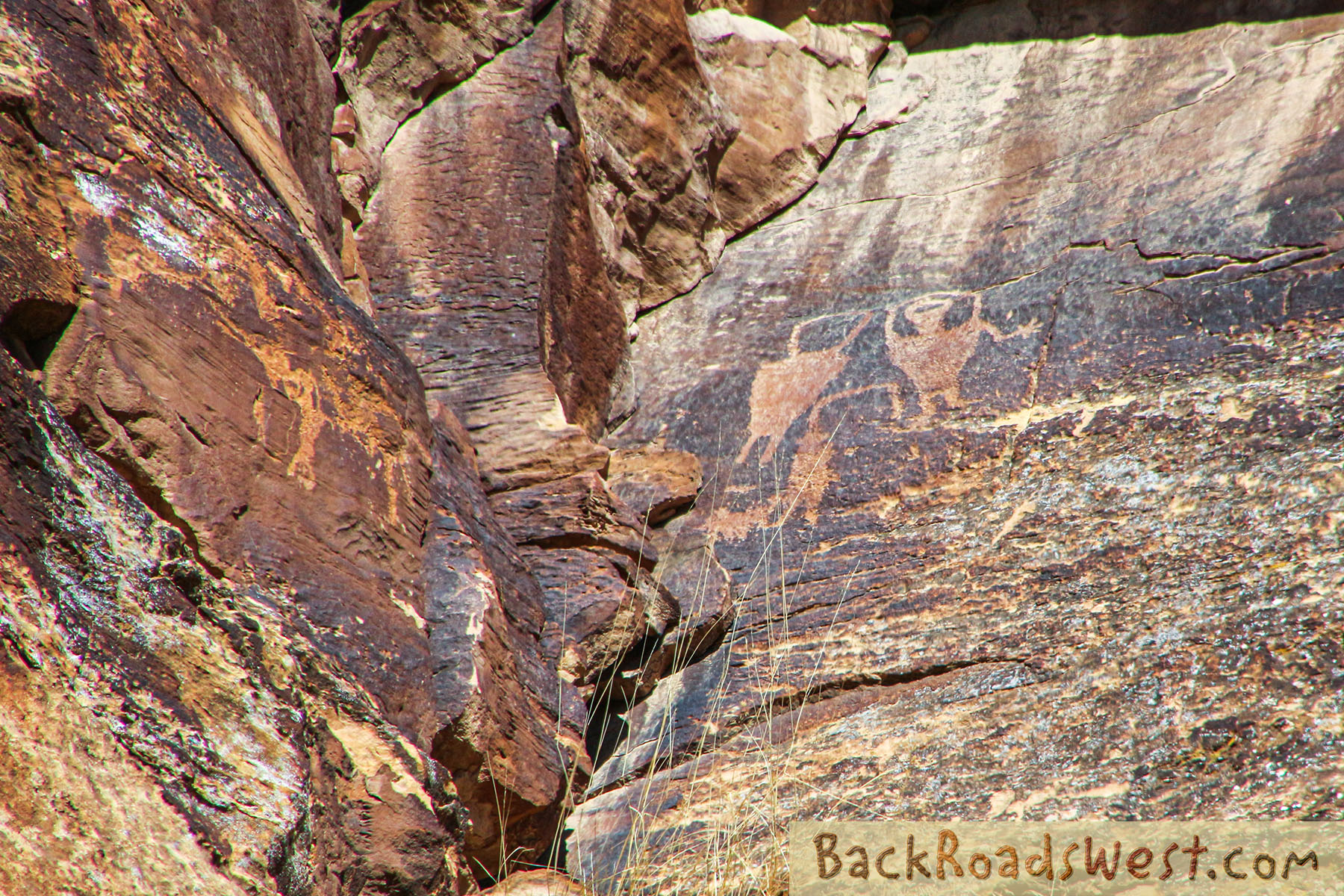
The Owl Panel is made up of two separate panels. The biggest panel contains two owls, one bigger than the other. Both panels include a wide array of different animals.
Daddy Canyon Complex & Rasmussen Cave
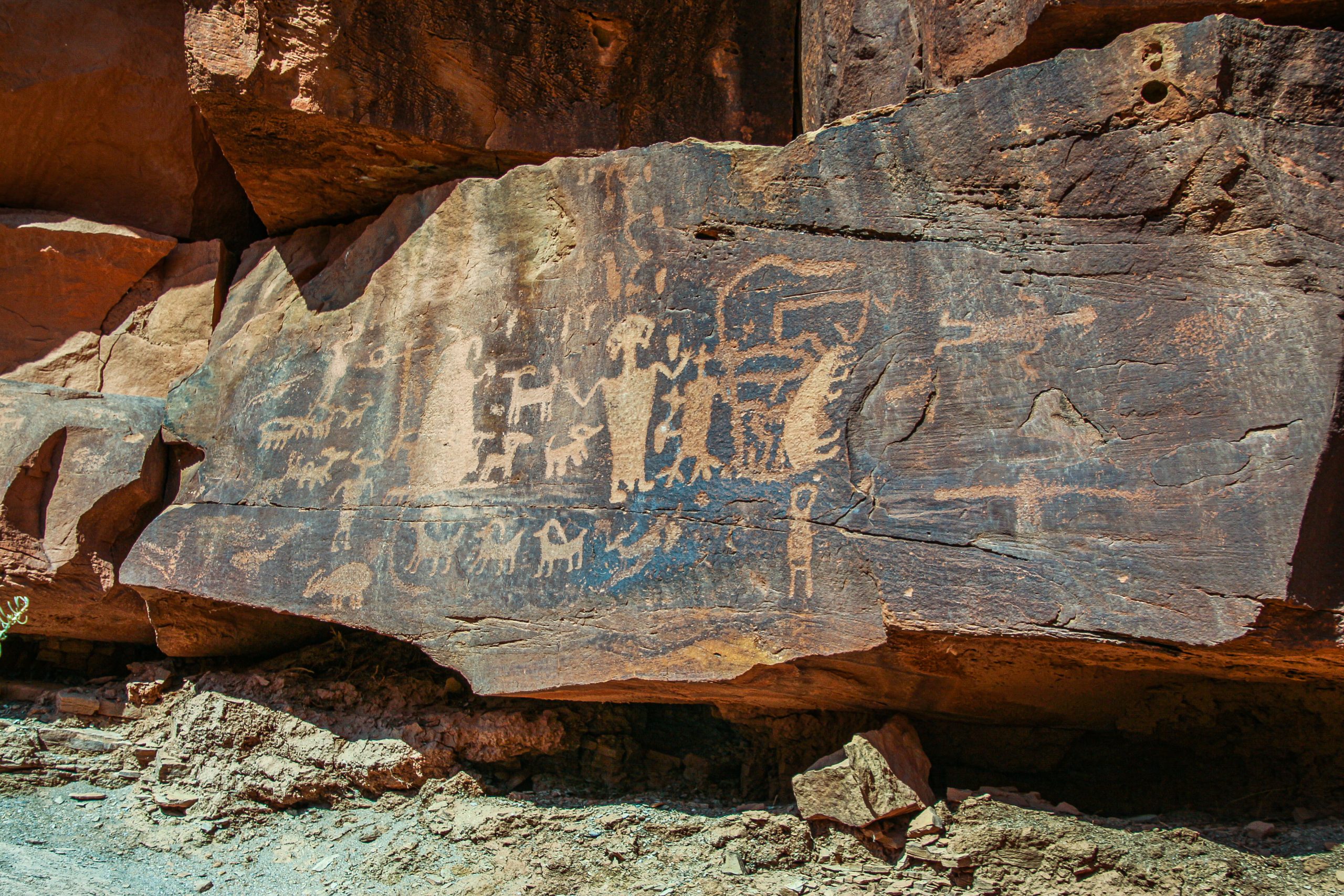
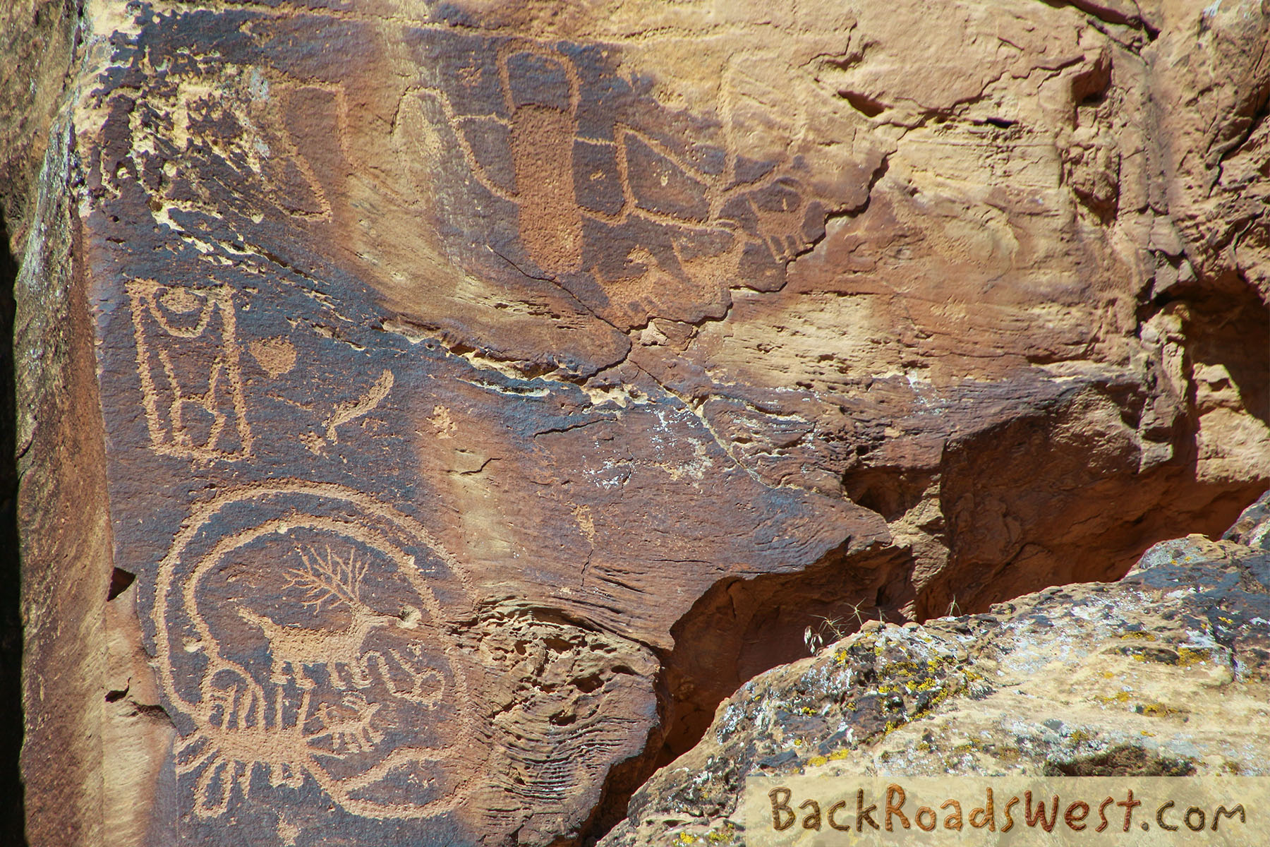
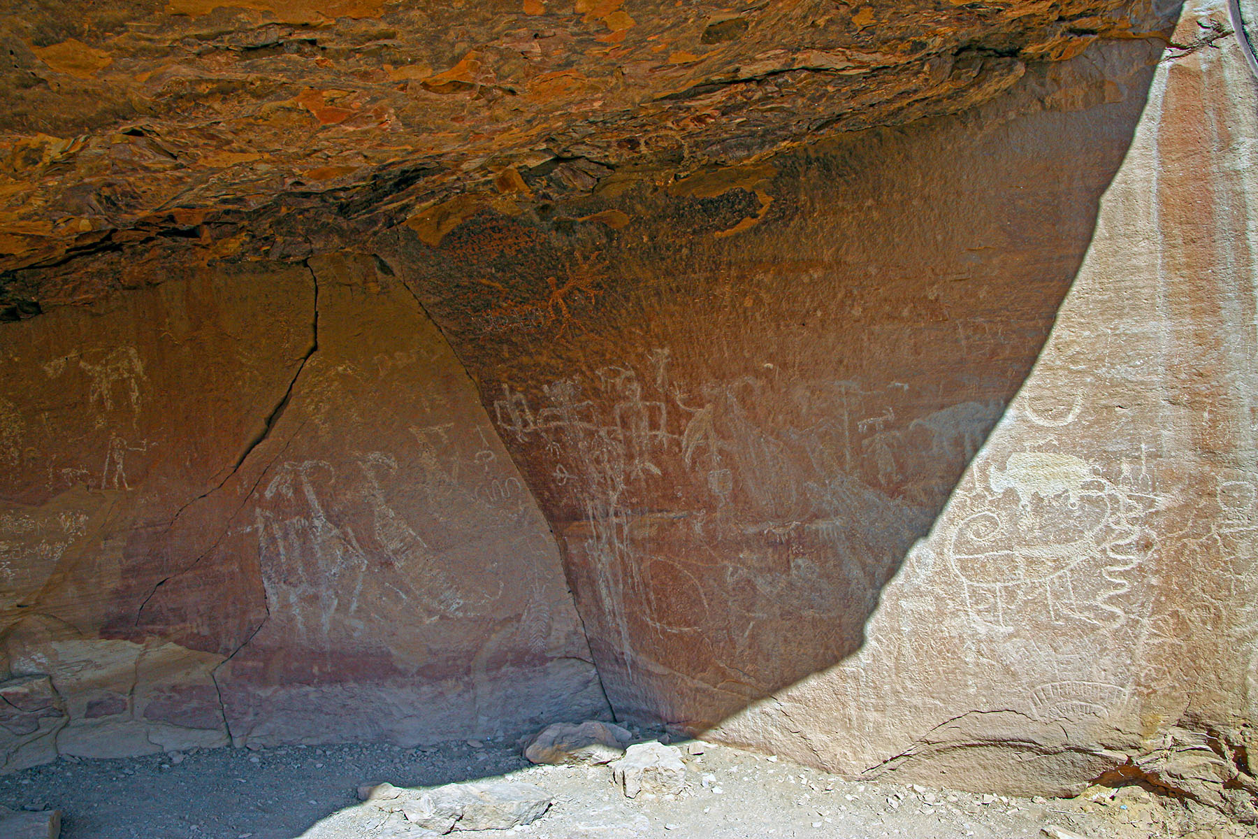
Daddy Canyon Complex consists of several panels located behind a cattle corral. Follow the trail that goes into the canyon and heads right along the wall of Nine Mile Canyon. All along the cliff walls are petroglyph panels. The road loops back to the parking area.
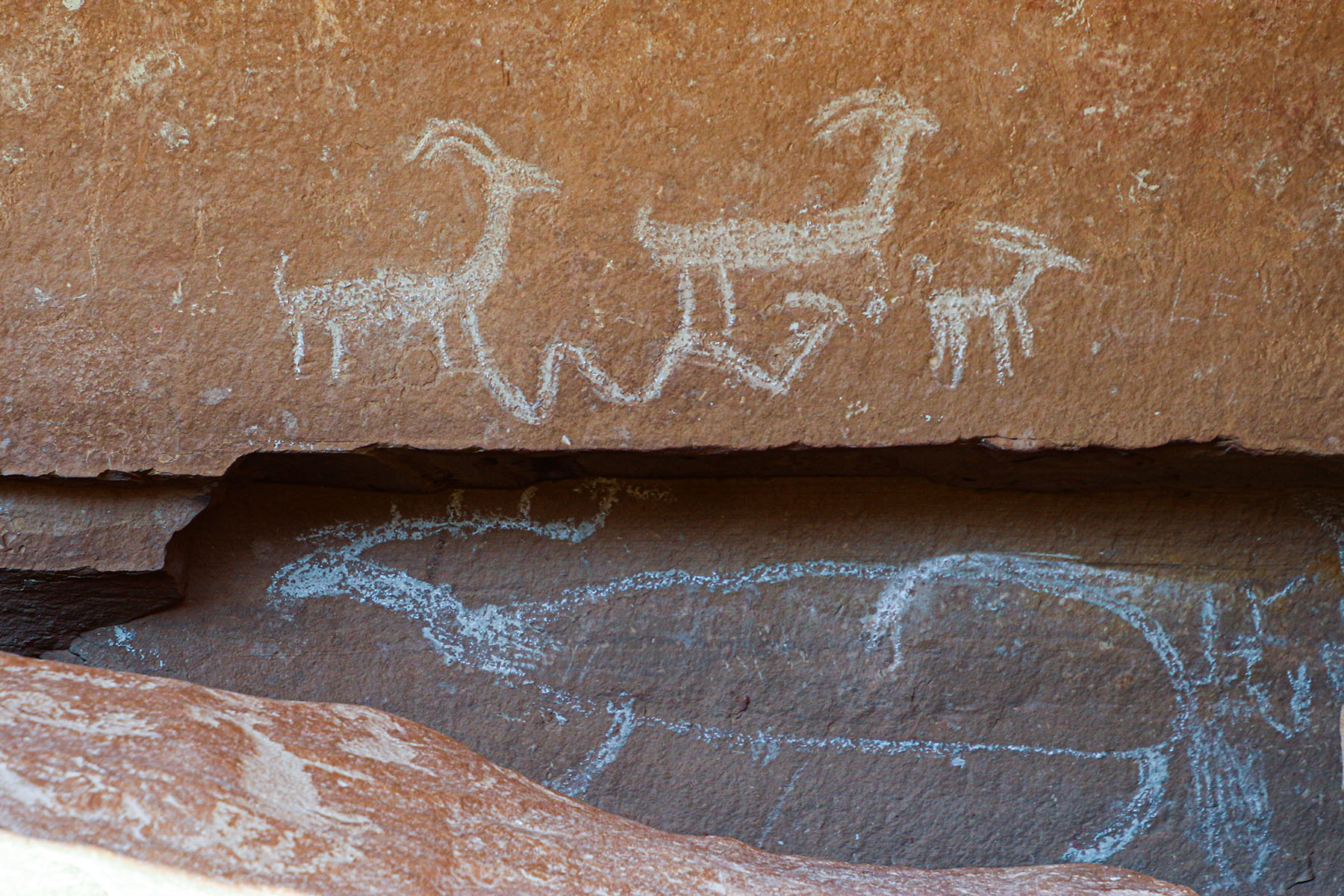
Rasmussen Cave is near the parking area for Daddy Canyon Complex. Inside the cave are very different-looking petroglyphs and pictographs. Unfortunately, one pictograph was written on (damaged) by the owner when he hired a group of Boy Scouts to stencil in a “No Trespassing” warning on the rock. The boys misunderstood and put the warning on top of one of the more beautiful pictographs in the panel. In addition, the boys misspelled the word “trespassing”.
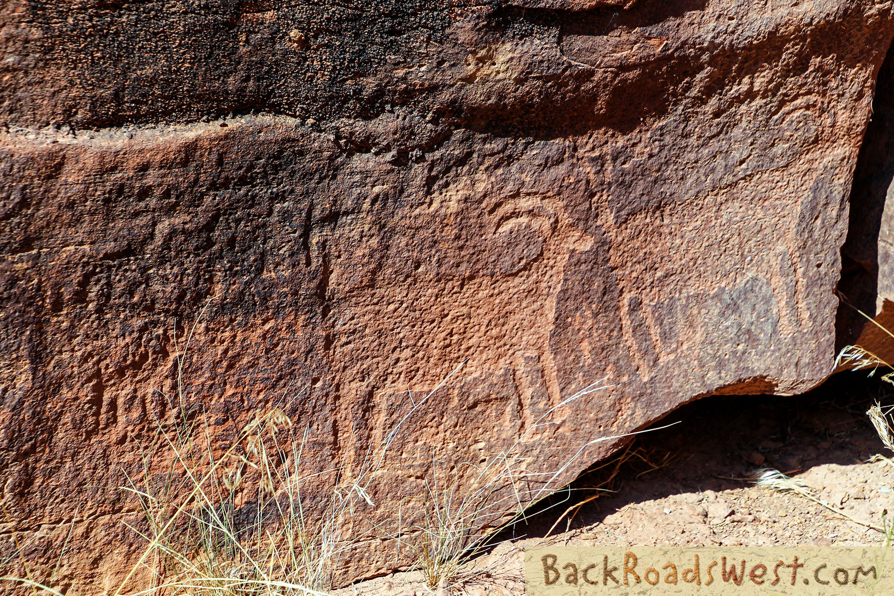
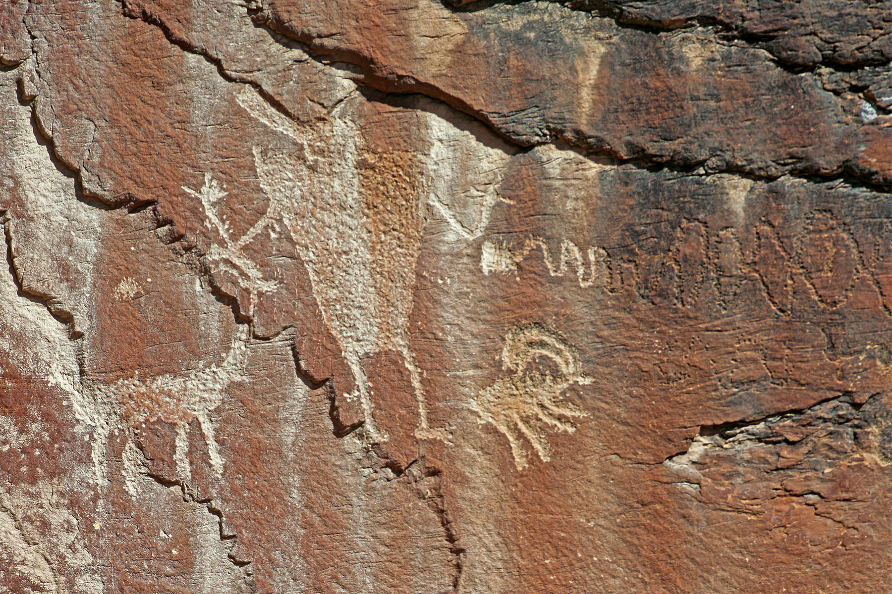
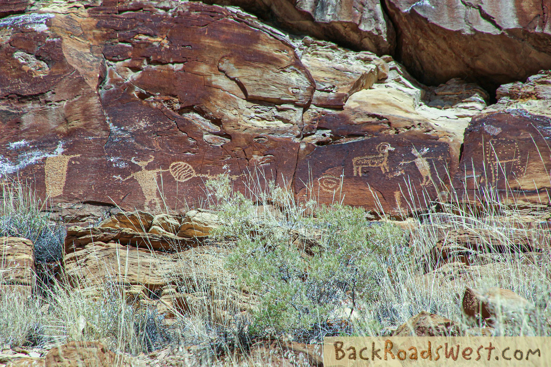
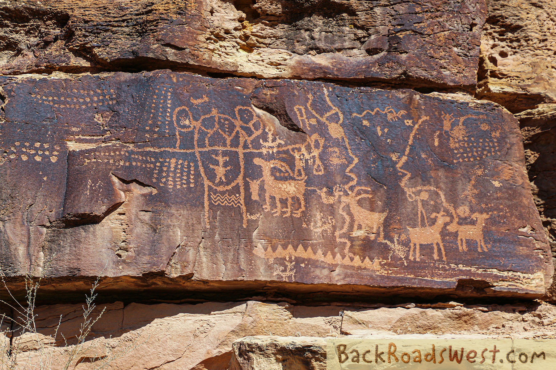
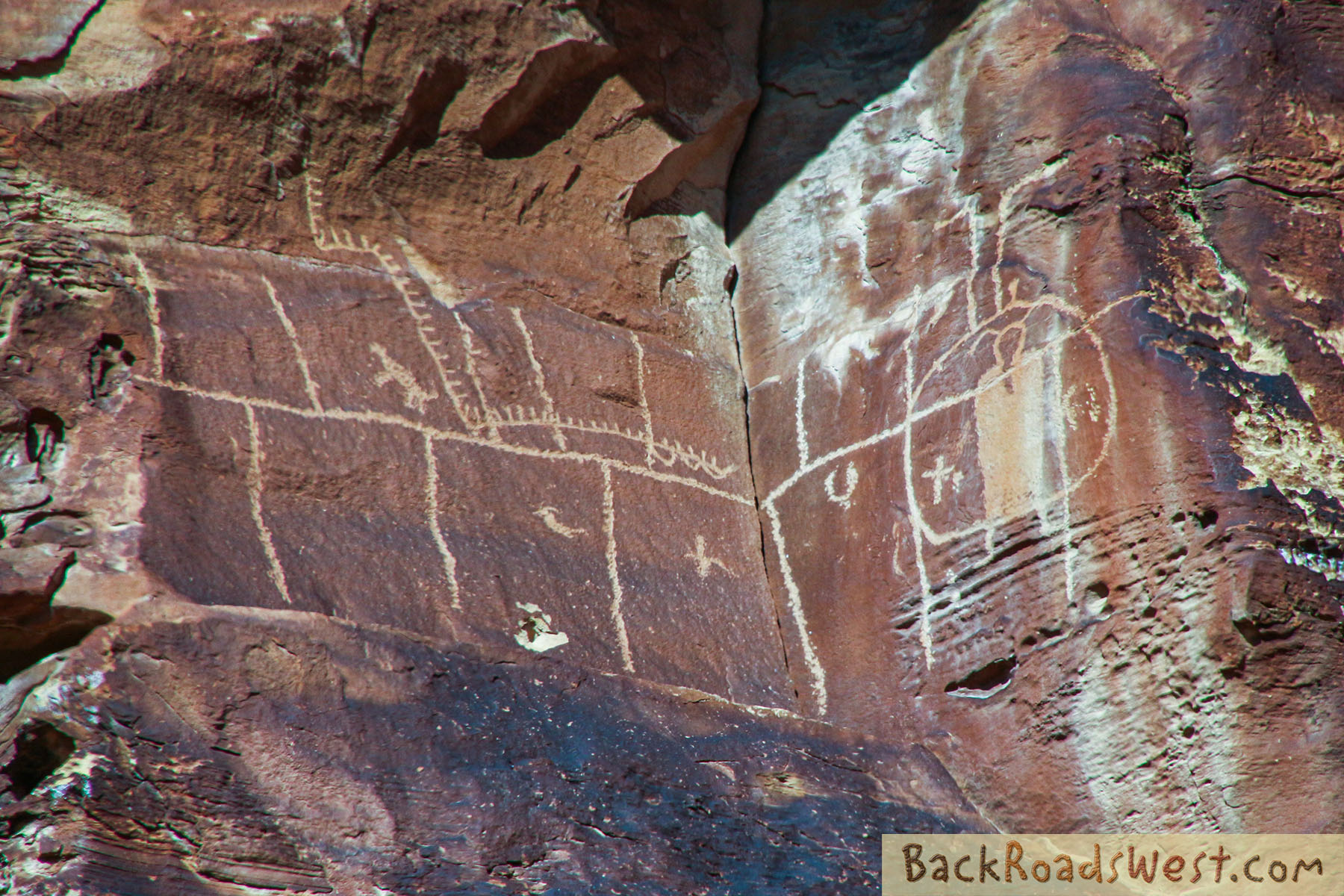
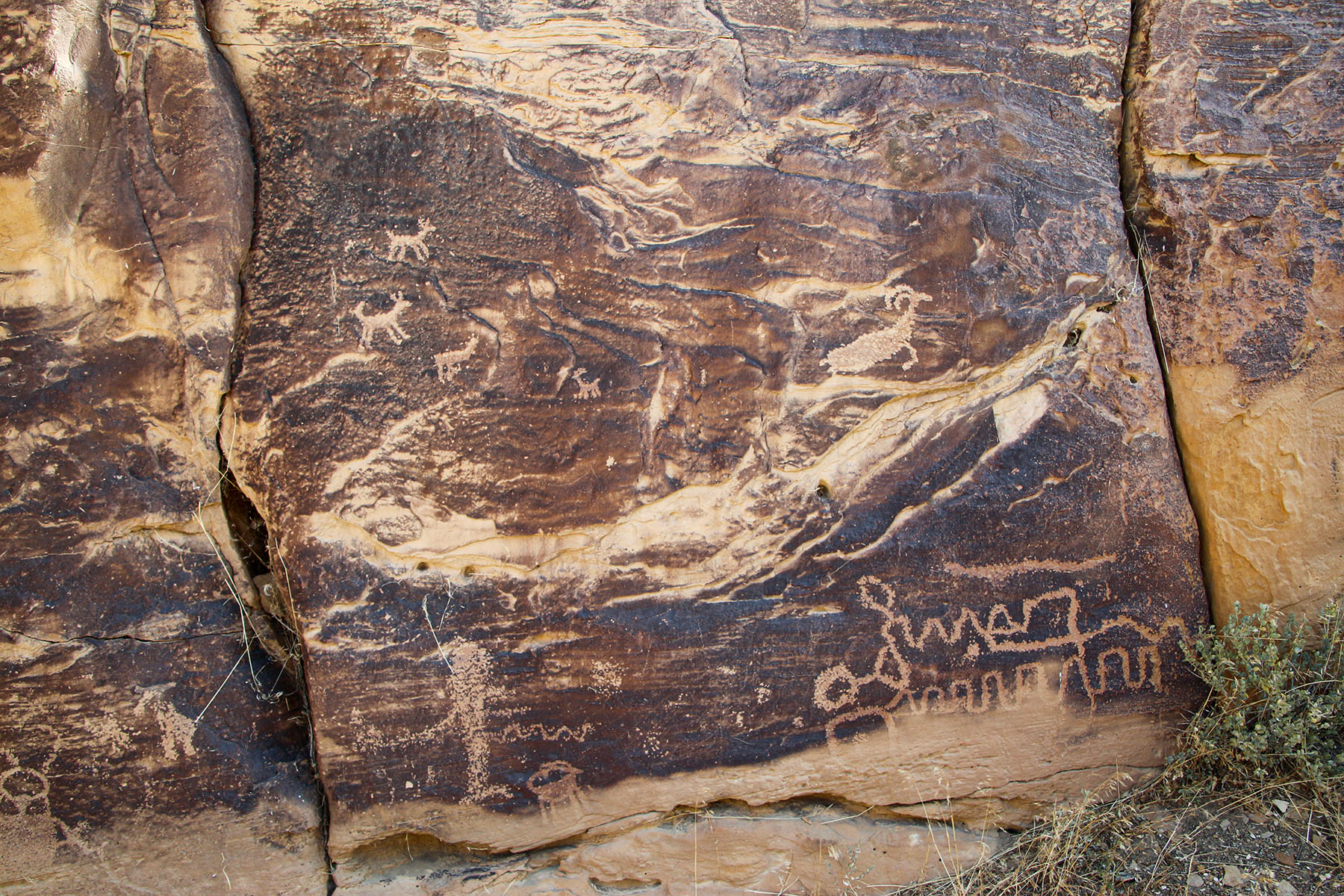
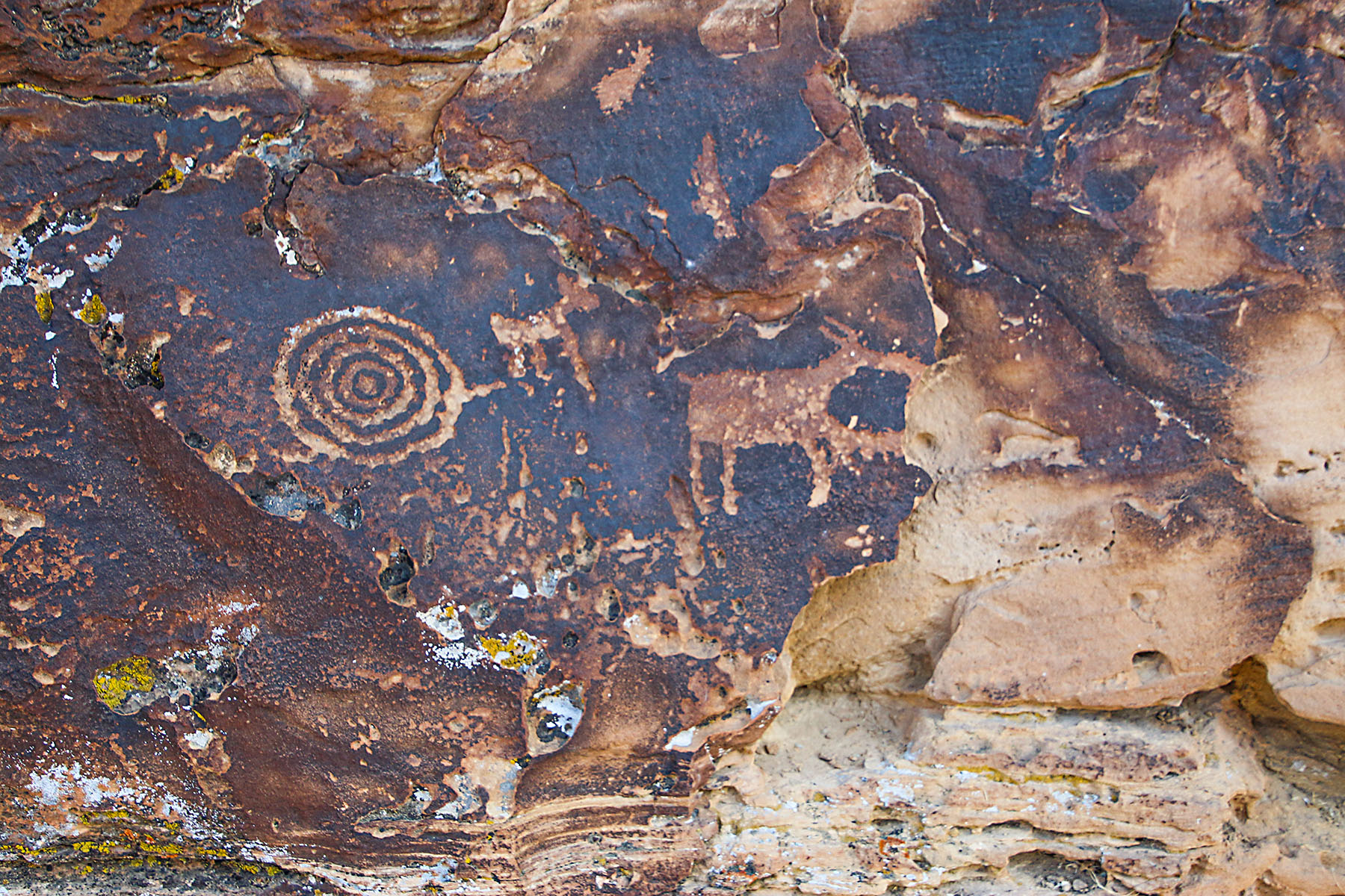
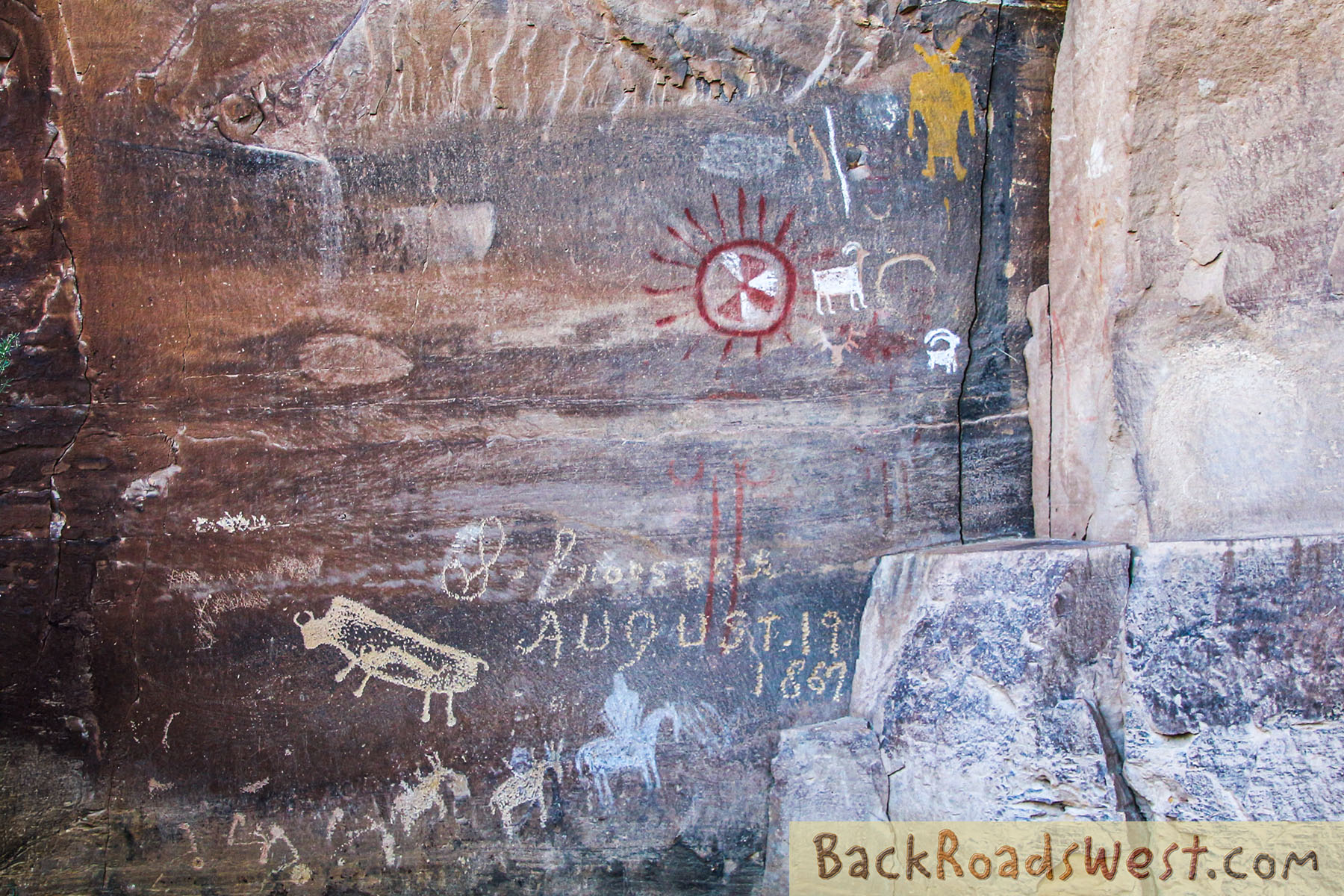
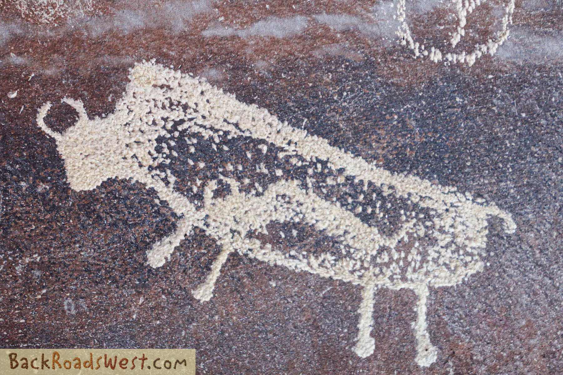
Big Buffalo
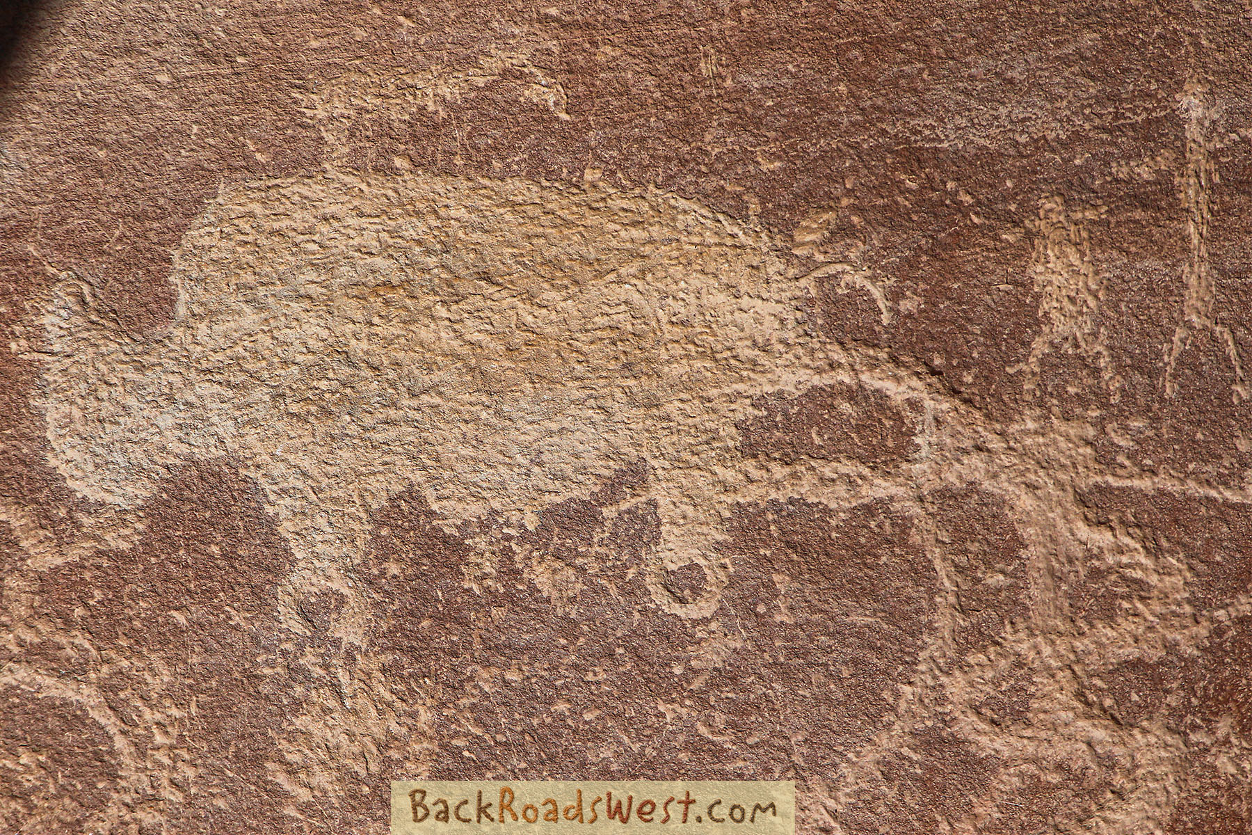
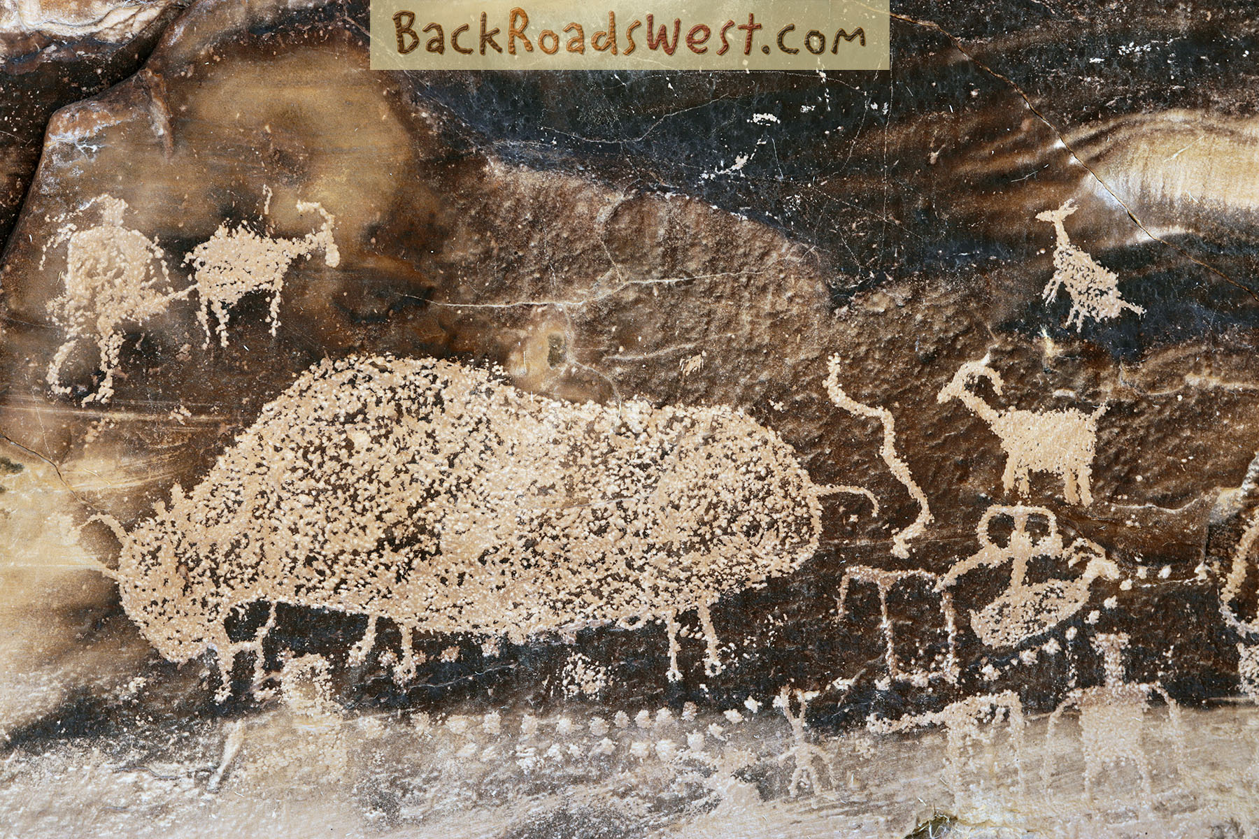
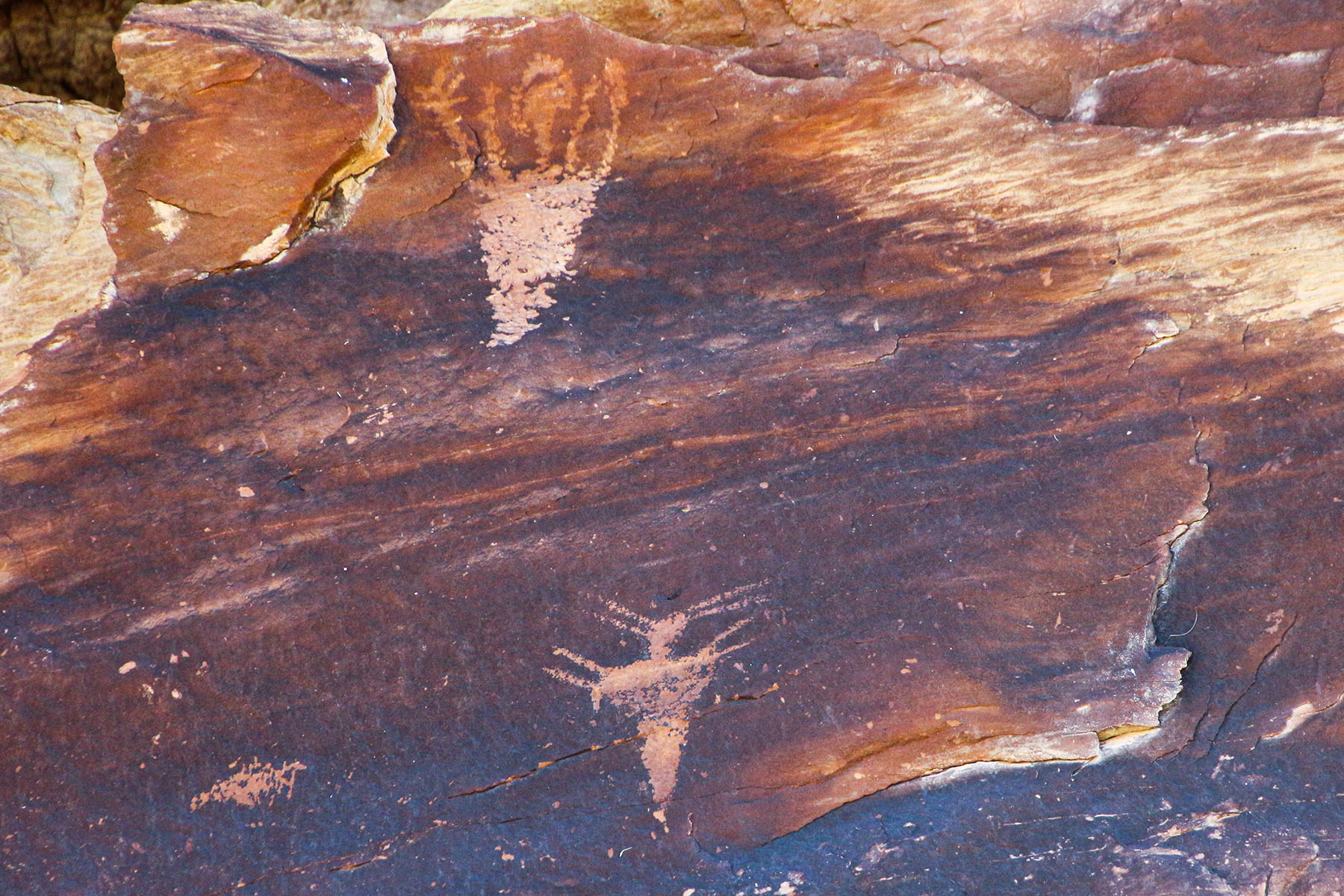
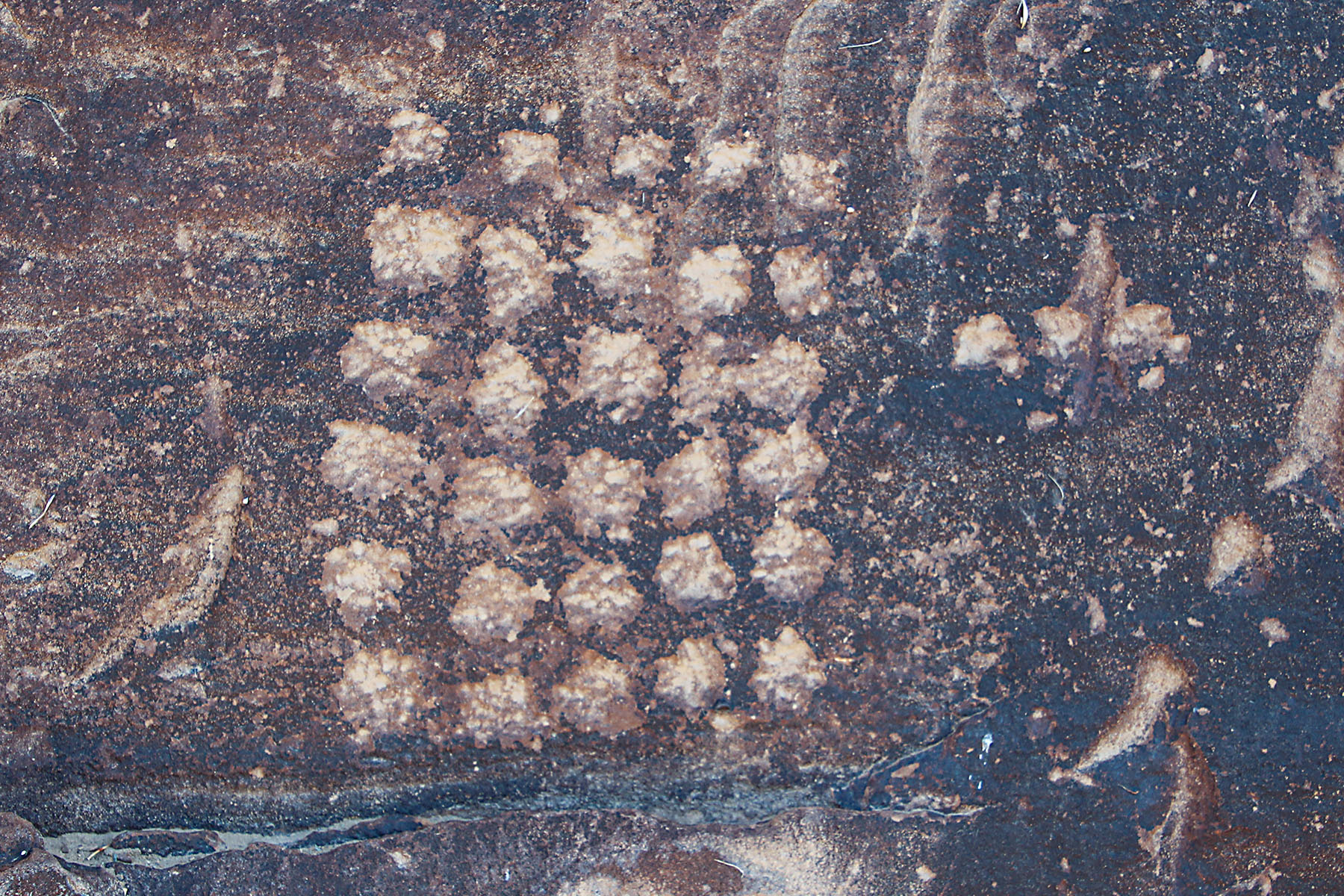
After the road forks, with dirt Nine Mile Canyon Road going to the left and paved Cottonwood Canyon Road heading to the right and up the canyon of its namesake, the pull-out for the Big Buffalo Panel will be found one mile on the left from the fork. From the road, this roughly one-third mile roundtrip hike will visit two rock art panels.
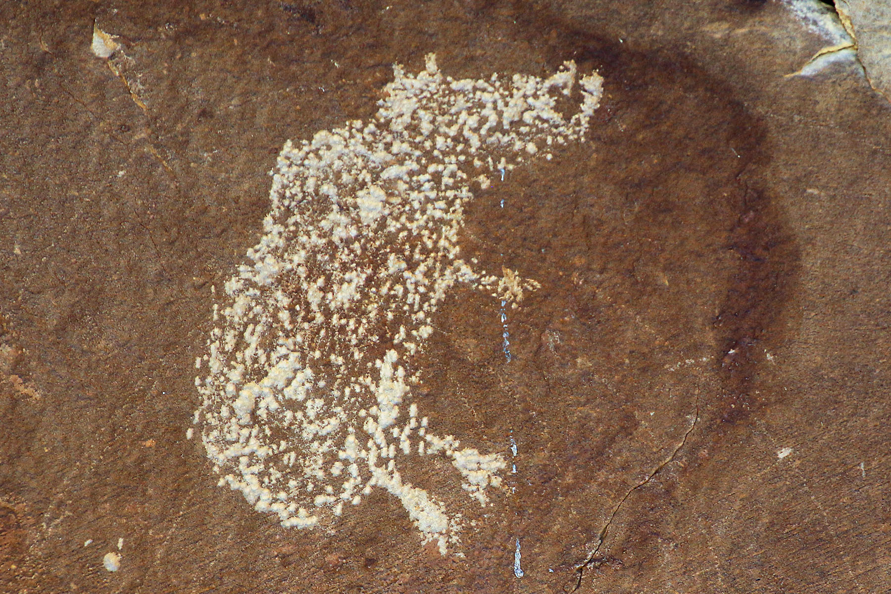
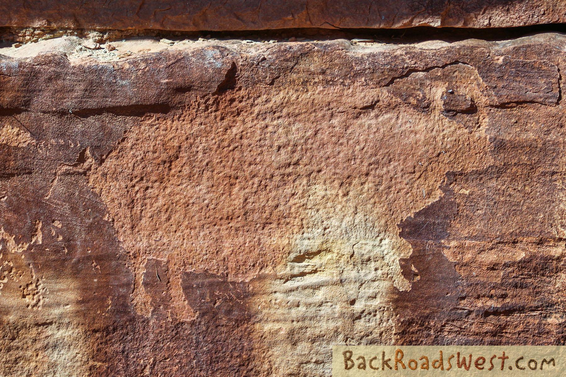
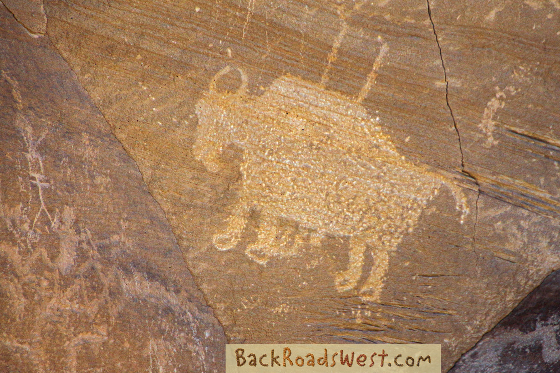
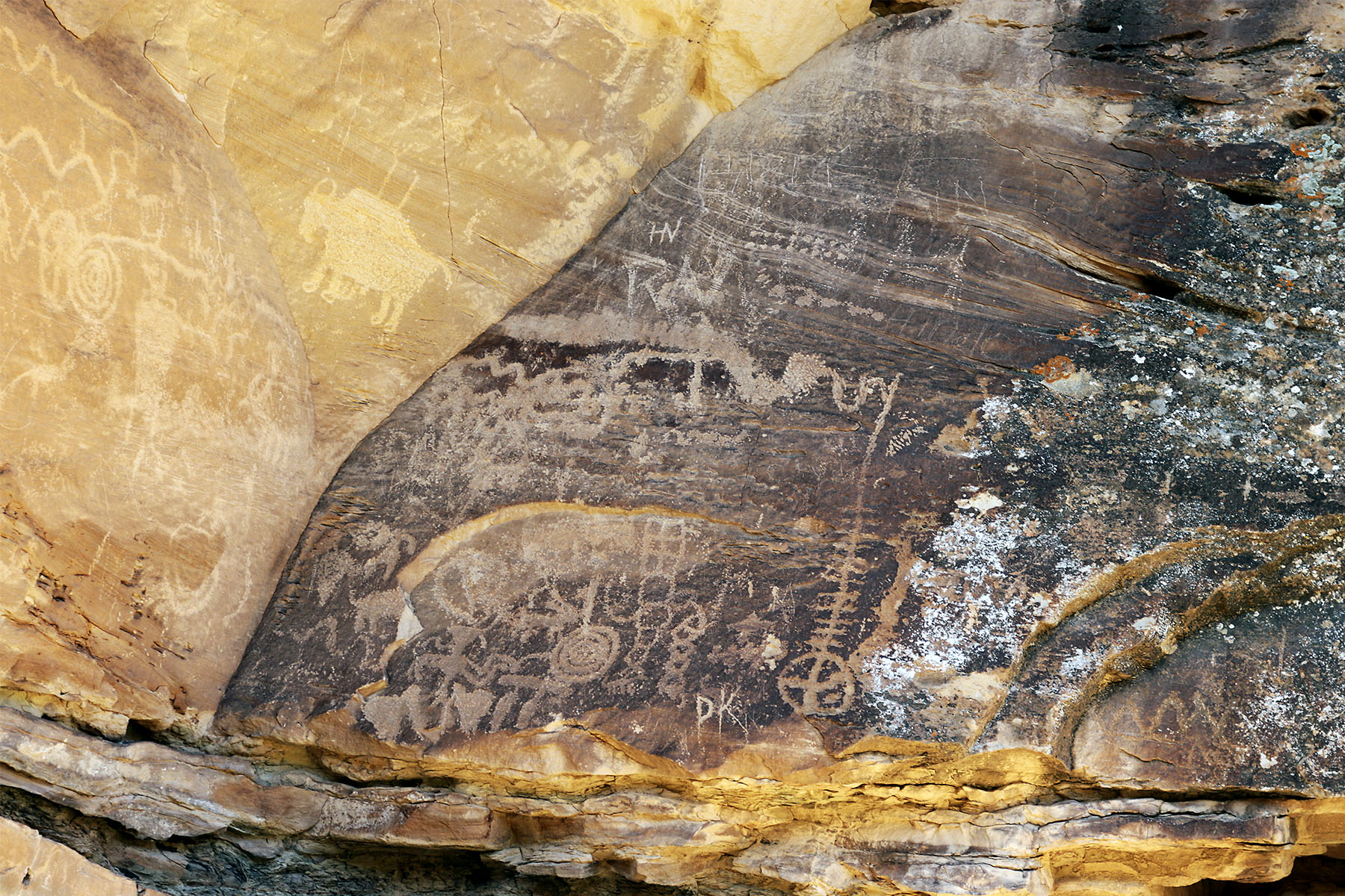
The first panel is dominated by a very large buffalo (bison). Bear left and continue hiking along the cliffs down-canyon. Be on the lookout for miscellaneous glyphs along the way. Some “bush-whacking” may be necessary along the way. The trail ends at the pregnant bison panel. Here, you’ll find a petroglyph of a bison with a small bison inside and a few interesting pictographs.
Great Hunt
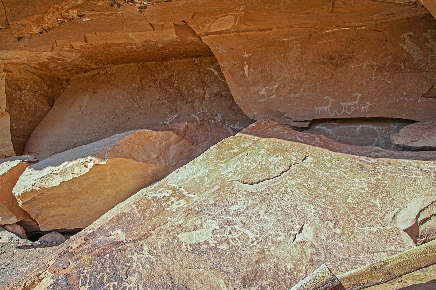
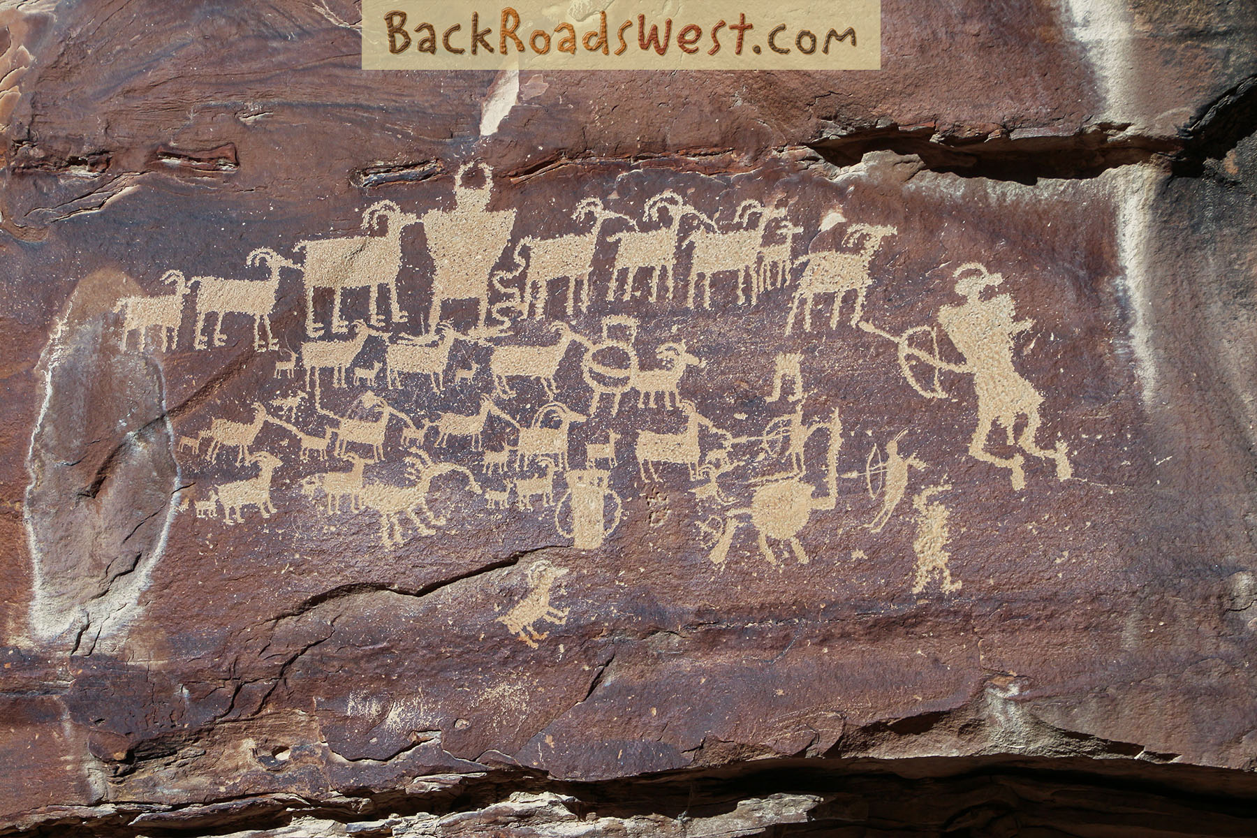
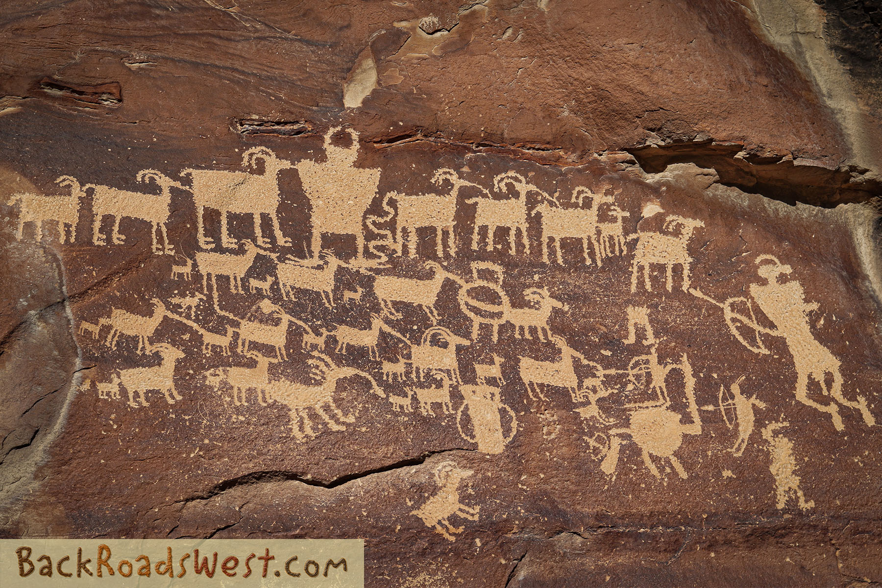
The grand finale of Nine Mile Canyon, and where many visitors end their tour, is the Great Hunt Panel. The parking area is on the right about 1.5 miles from the fork with Nine Mile Canyon Road. It’s easy to find.
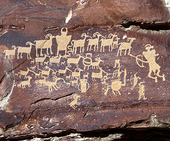
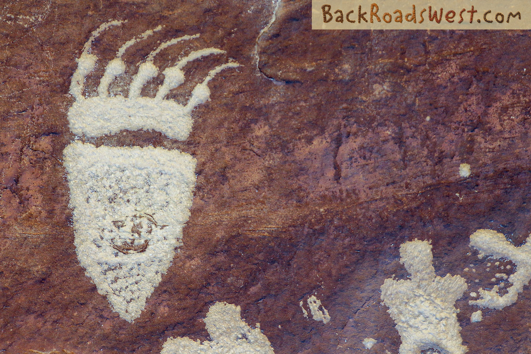
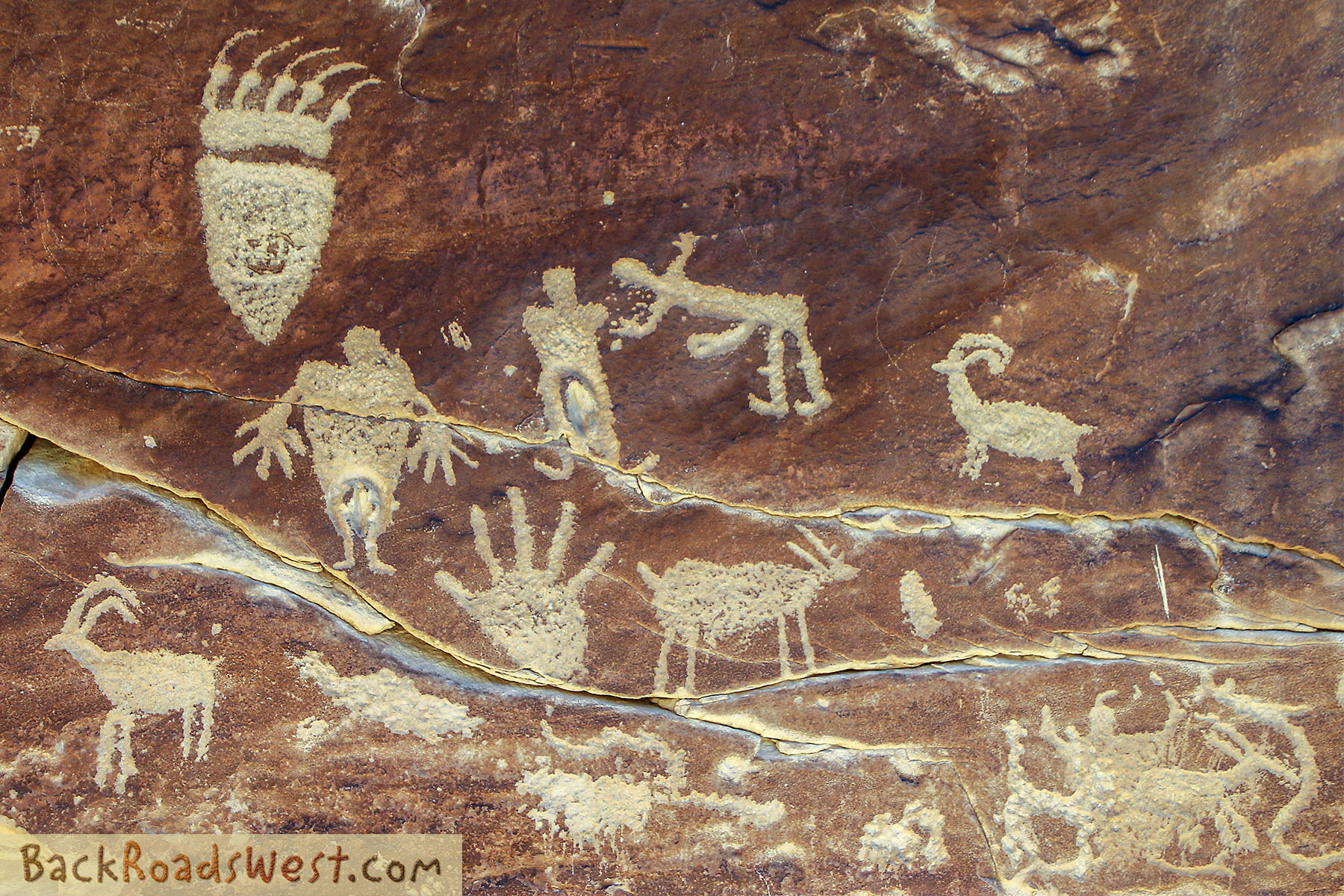
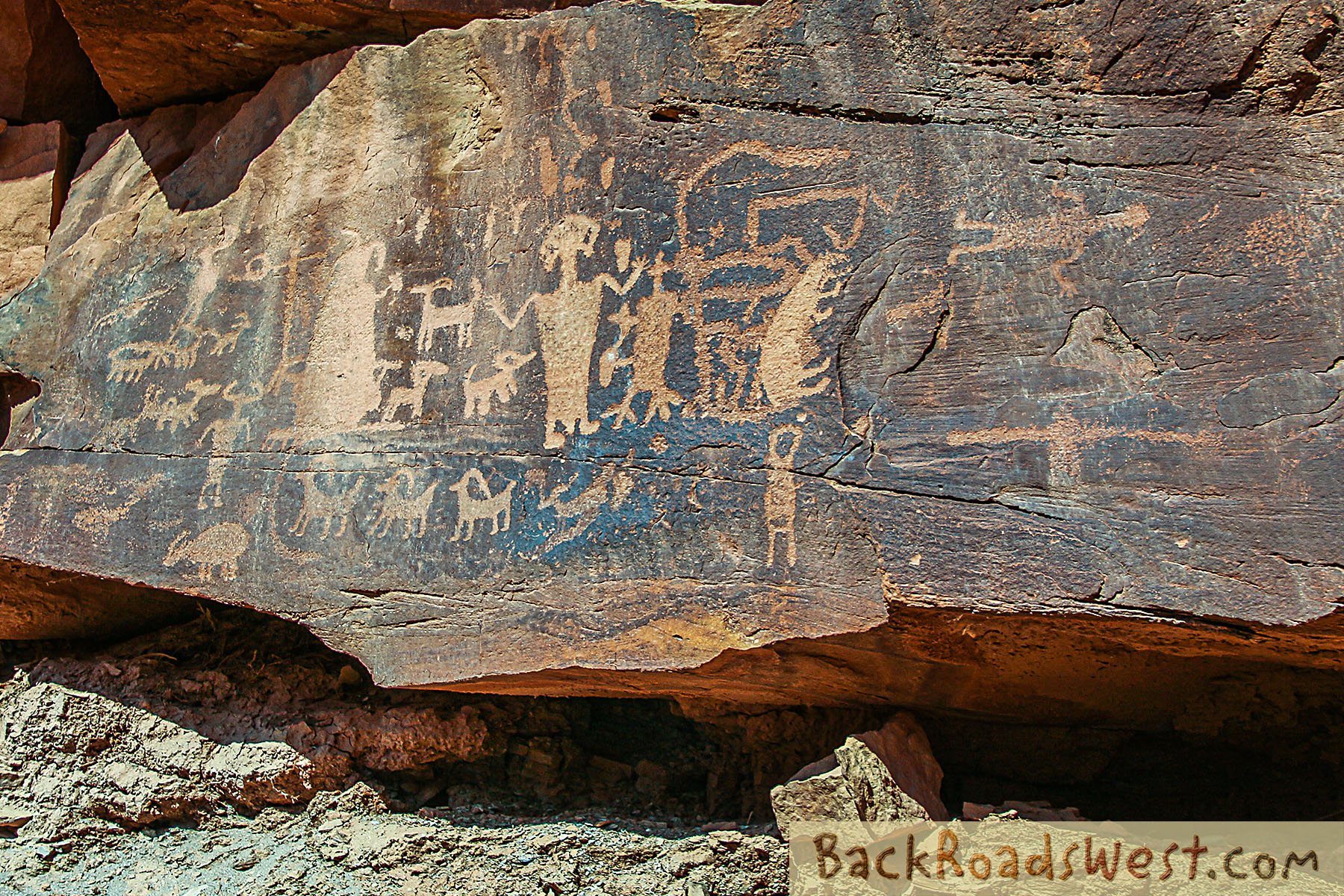
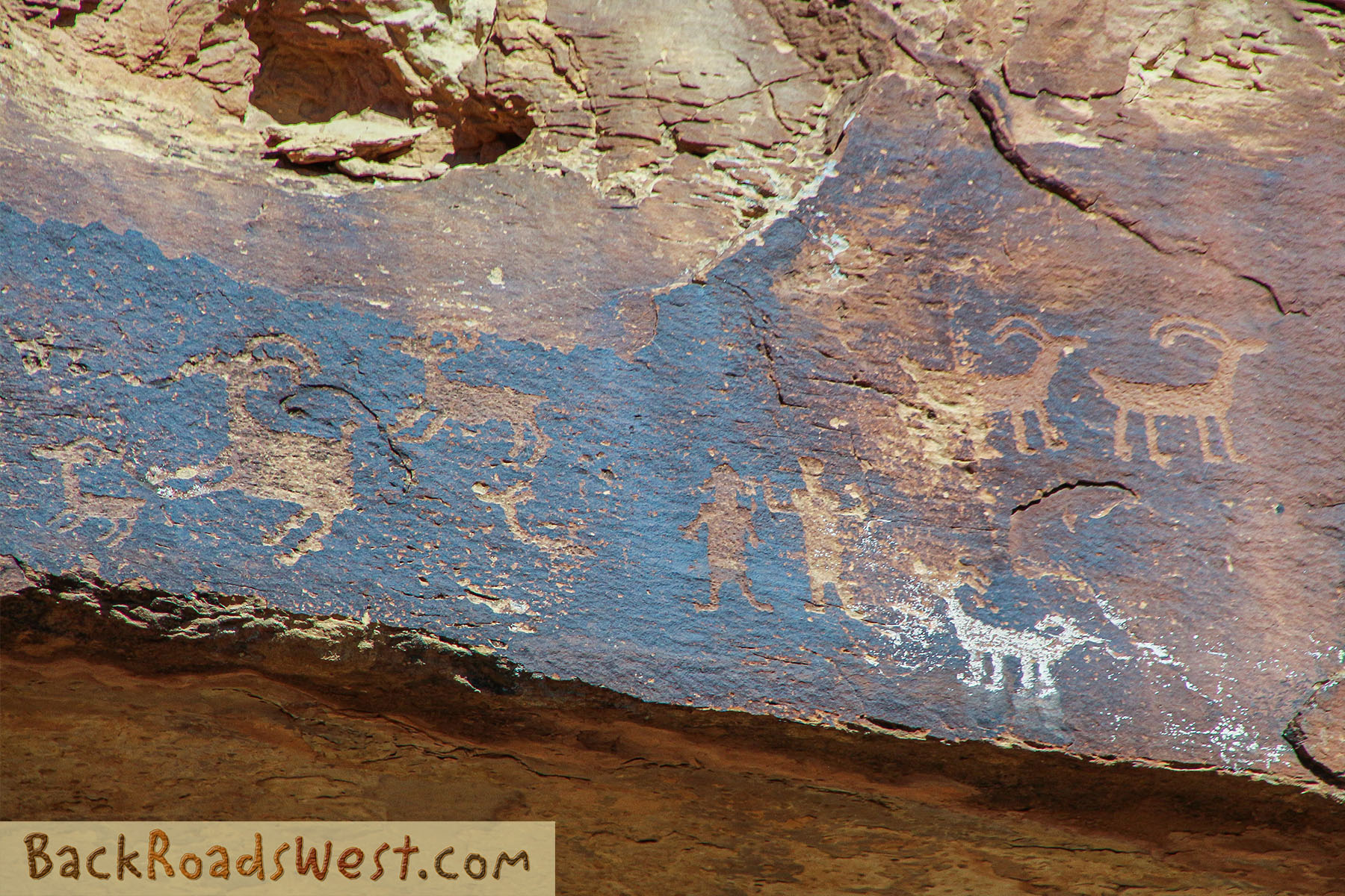
A small walk down canyon leads to the Great Hunt Panel. A descriptive plaque describes what experts believe the panel is depicting. Look for the two (maybe 3?) hunters with bow and arrows pointing at the numerous big horn sheep and one anthropomorphic figure. To the right of the Great Hunt are several other petroglyph panels, one depicting a fairly detailed bison.
Help fund our next trip and your next adventure by purchasing a subscription to Gaia GPS. We will receive a small commission from your purchase.

Downloadable Guide
Carbon County, the county in Utah that Nine Mile Canyon is located in, offers additional information about visiting Nine Mile Canyon. It also offers tours of the canyon and nearby Range Creek Canyon, which is a large region that is closed to the public where archeologists have found hundreds of sites containing artifacts from the Fremont culture. In the video above, we include a brief tour of Range Creek after the tour of Nine Mile Canyon.
Learn more about:
Download PDF Guide
Trip Map
The following map points out major milestones in the tour. Since most of the rock art panels are signed, we won’t point them out on the map. Neither Google Maps or Gaia GPS point out the panels other than the main ones like Daddy Canyon Complex and Great Hunt.
Most of the maps in the video were created using Gaia GPS. Click the ad below to purchase a Gaia GPS subscription and we’ll earn a few dollars to fund our next trip.

Use the full-screen button in the upper-right corner to view the map using the entire screen and for easier scrolling. Press the Esc key to exit full-screen mode.
Learn more about our maps.
Support Us
Help us fill up our tank with gas for our next trip by donating $5 and we’ll bring you back more quality virtual tours of our trips!
Your credit card payment is safe and easy using PayPal. Click the [Donate] button to get started:
Subscribe
See all our comprehensive virtual tour guides at:
