Rochester Panel
In central Utah there are several superb Native American rock art sites and the Rochester Panel is probably one of the most spectacular. While most rock art sites have a smattering of petroglyphs or pictographs, the Rochester Panel is a large concentration of petroglyphs of many different designs. You will leave the site scratching your head for days wondering what they all mean.


Trip Specs
Our Trip
Our road trip this time actually takes you to two different rock art sites and both sites are remote. In fact, they are just north of the most remote segment of interstate highway in the U.S. which is I-70 between Salina and Green River, Utah. But don’t worry, not far from the two sites and 20 miles north of I-70 is the very small town of Emery. And the Rochester Panel can actually be found quite easily by typing “Rochester Rock Art” into Google Maps.
Types of Rock Art
Before continuing, let’s clarify some of the different types of rock art. First, there is the petroglyph which is an image created by removing part of a rock surface by picking or carving. Here in the Southwest, they are often found on rocks that have had the “desert varnish” removed to show the original, lighter-color of the rock underneath. This makes the image stand out. Desert varnish is a coating found on exposed rock surfaces in arid environments. It contains some organic matter and, because of this, carbon dating can be used to determine the age of the etching (when it was drawn). The rock art at the Rochester Panel are all petroglyphs.
There are some unique petroglyphs known as a “water glyph” that are found only in southern Utah and northern Arizona. These reoccurring symbols supposedly point to a water source and have only recently been studied. They are typically a circle with a line through it that extends out beyond one side of the circle and are found on horizontal surfaces instead of the usual vertical surfaces of most petroglyphs.
Another type of rock art is the pictograph which is painted or drawn onto a rock surface rather than being etched. For paint, the artists used colorful vegetation that was crushed and mixed with water, saliva or animal blood. Pictographs that are protected from wind, rain and direct sunlight, such as under rock alcoves, survive for centuries.
Then there are the pictoglyphs which are painted petroglyphs. We rarely see these.
Also common in the Southwest are “cowboy glyphs”. As you might guess, these were inscriptions carved or scratched into a rock face by the first White settlers in the West. Many of them record historical dates and names of certain pioneer groups.
The People That Created Rock Art
Now that you know something about rock art, it’s also helpful to understand who most likely created it. The most well-known group of people were the Anasazi, now known as the Ancestral Puebloan people. They covered a large swath of the Southwest and explaining more about them is beyond the scope of this article. Just know that the Anasazi created mostly petroglyphs, that many of the petroglyphs throughout this region were most likely created by them and that they were done between one and four thousand years ago.
There was also an ancient group called the Fremont People. They lived about the same time as the Anasazi and their rock art style is unique. They created both petroglyphs and pictographs. One common design of the Fremont People is what’s known as an anthropomorphic (human-like) figure with trapezoidal-shaped bodies and/or heads and many of them include antennae. It is common to see these types of figures at central Utah rock art sites.
Then, there are the people that created the “Barrier Canyon Style” rock art. Most of these are pictographs that were delicately painted. These people were from the Archaic Culture that were ancestors to the Fremont and Anasazi and existed approximately between 2,000 and 10,000 years ago.
There has been (and still is) a lot of conjecture about what the petroglyphs mean or what prehistoric Native Americans were trying to say. One thing that most historians, rock art experts, anthropologists and current day Native Americans will agree on is that they don’t know the meaning of most rock art.
More…
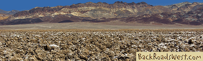
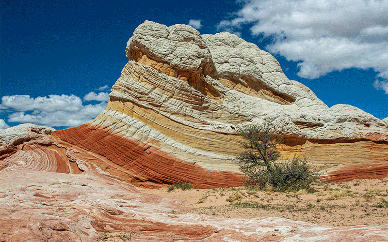
Pictures
Below are some pictures of what you will see along the way.


Rochester Panel
So, back to the Rochester Panel. What makes it so unique is that there are drawing styles found here from all the aforementioned cultures. Other petroglyph sites found within 100 miles of the Rochester Panel only have styles from one culture.
For instance, the second stop on this road trip is to the Molen Reef (also known as Dry Wash) petroglyphs which seem to all be Anasazi in nature. But, just 70 miles west of there, is the Fremont Indian State Park. It has a collection of Fremont-style petroglyphs and a museum that is a great resource to learn more about rock art. And then, 30 miles to the east, is one of the most spectacular and delicate of the Barrier Canyon Style pictographs, the Head of Sinbad. All of these styles are seen at the Rochester Panel but no one really knows for sure who created them. Perhaps different portions of the panel were drawn at different times? Again, they just don’t know.
There are many shapes and figures found on the Rochester Panel. In the center of the panel is a large half-circle which most people would say depicts a rainbow. Surrounding the “rainbow” are all types of “characters”. These characters include big horn sheep (common at many rock art sites), birds, various people, unusual four-legged creatures with big mouths, deer, and various patterns. There are also several anthropomorphic figures of Fremont People design. Of the many rock art sites we’ve visited, the Rochester Panel certainly has the largest variety of designs and styles.
The bottom line when it comes to who created the petroglyphs and pictographs is that it’s a very complicated subject and is still being studied. We may never know exactly who did what, but for us, it’s enough to know that they were created a long time ago by the people who lived there and we enjoy the thought-provoking nature of them. It’s good to still have a little bit of wonder in the world. And, if you’d like to learn more about any of these subjects, there is plenty of research material out there. And then you can form your own opinions about what they are trying to say.
A visit to the Rochester Panel will certainly make you stand back in awe and leave you wondering what it all means. When you’re finished contemplating, drive another 11 miles to visit the Molen Reef petroglyph site. It’s not quite as spectacular as the previous stop but it does have some unique designs including a big snake.
Museums
To learn more about the Rochester Panel and the Native Americans that created it, a visit to one of the two area museums are highly recommended.
Fremont Indian State Park
This is a site that includes a museum, visitor center and a large area where petroglyphs can be found that were left by the Fremont People. One can easily spend half to a full day here.
Reach this site by following the directions under Getting There & Trail.
Museum of the San Rafael
Another great resource to learn about the area’s history and its Native American influence is the Museum of the San Rafael in the town of Castle Dale. It is located about 22 miles north of the turnoff to the Rochester Panel, detailed in Getting There below, on Hwy 10. Once in the small town, look for signs pointing to the museum from Hwy 10.
This museum is where we learned more about the study that was done on the Rochester Panel in 1983 and the possible meaning of some of the inscriptions. This museum also includes world-class paleontology exhibits because of the nearby Cleveland Dinosaur Quarry, now known as Jurassic National Monument.
Getting There & Trail
Travel to this area of Utah by taking I-15 to I-70. From I-15, take I-70 east (to Denver) for 17 miles and take exit #17 to visit the Fremont Indian State Park to learn all about the area’s rock art. There is a large collection of rock art located here also. When you are all schooled up on rock art, get back on I-70 and go east for 73 miles and take exit #91, which is for Hwy 10. Take it north towards the town of Price. Emery is reached in 12 miles.
From Emery, continue through town on Hwy 10 heading northeast. At just under 3.5 miles, turn right onto Moore Cutoff Road or CR 801.
Continue on this road for about half a mile and turn right onto the first well-defined dirt road. You will probably see a sign pointing to the Rochester Panel. Continue on this dirt road until the very end.
Here, you’ll find a parking area. You’ll easily find the trail that drops down into the canyon leading to the rock art panel. The hike to the panel is about half mile one-way, making it about a one mile round-trip. Going to the panel, you will drop down about 150 feet, which means you’ll have a small ascent on your return hike.
The trail is easy to follow but does go over a few rocky spots and goes out onto a high ridge with two canyons on each side, which may make people fearful of heights think twice before going all the way to the panel.
Remember that you can simply navigate to the Rochester Panel by typing “Rochester Rock Art” into Google Maps. However, the petroglyph site below is not on Google Maps.
Getting to Molen Reef Petroglyphs
From the Rochester Panel, take the same dirt road north, back to CR 801. Turn right (east). Continue on this paved road for about 6 miles. Just as the road crosses and descends down a yellow and gray ridge, which is Molen Reef, and banks to the left, look for a small parking area on the left. Turn in here. This is where the Molen Reef petroglyphs are located.
Facing towards the ridge of Molen Reef in the parking area, walk to the left to see the petroglyphs and walk to the right to see dinosaur tracks (see video for location and pictures).
In front of the rock with the dinosaur trackway, you might find some large pinkish-colored rocks. These rocks were brought here from another location for display and also contain several dino-prints. If you look closely at some of the rocks, you can find many small solidified tubes which are supposedly petrified worm borrows from the same time the prints were made.
Once finished visiting this site, either continue east on CR 801 to I-70, providing you are heading east. Or, head back the way you came on CR 801 to SR 10, then turn left to return to I-70 if you are heading west and wish to visit the Fremont Indian State Park.
Happy Exploring!
Trip Map
Support Us
Help us fill up our tank with gas for our next trip by donating $5 and we’ll bring you back more quality virtual tours of our trips!
Your credit card payment is safe and easy using PayPal. Click the [Donate] button to get started:
Subscribe
See all our comprehensive virtual tour guides at:
![]()