Santa Clara Volcano Hike Near St. George
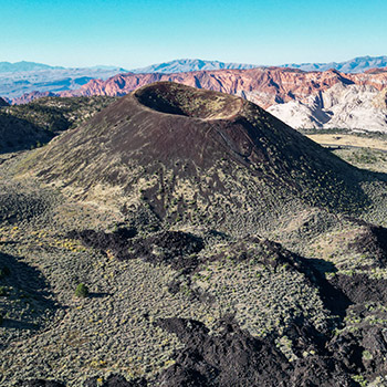
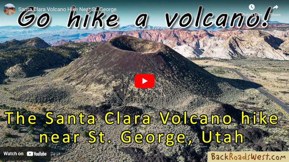
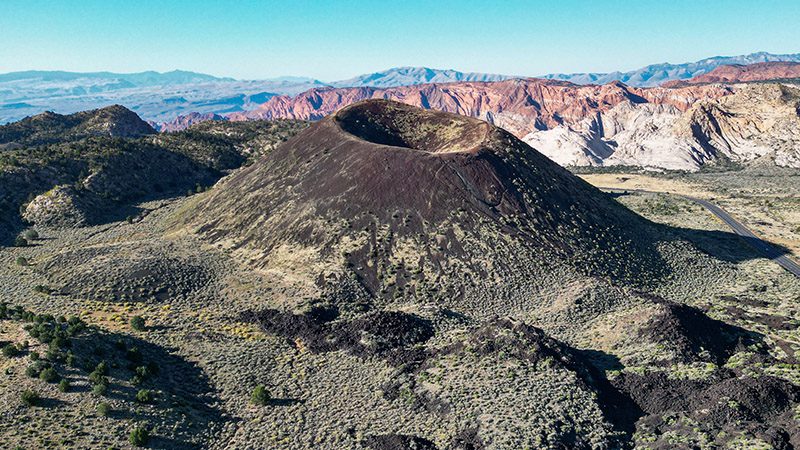
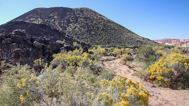
The area around southwest Utah is packed-full of small volcanoes known as cinder cones. Hiking to the top of one of these cones can offer great views of the awesome scenery below. This virtual hiking tour will take you up one such cinder cone on the edge of Snow Canyon State Park, just ten miles north of St. George, Utah.
Length
Approximately 1 mile (1.6 km) one-way
2 miles roundtrip
Attractions
- Interesting volcanic rocks
- See a volcano up-close
- Great views in all directions
Difficulty
- Easy to follow trail
- Steep in some places
- Some places slippery due to cinders
Elevation Gain
- 400 feet (122 m)
As mentioned, hiking to the top of a cinder cone can be both rewarding and provide great views of the landscapes below. However, climbing the steep slopes of a cinder cone can be difficult and almost impossible to do. This particular cinder cone is not only easy to access because it’s right next to a major highway, it also has a newly-built hiking trail that takes hikers to the top.
Before starting your hike however, you may wish to learn a little more about cinder cones and their related volcanism. After you know what you’ll soon be walking on, you’ll appreciate the hike and what you’ll be seeing a little more.
What is a Cinder Cone?
If you have read any of our articles or watched our video tours in the past, you’ve probably heard us talk about cinder cones before but, since this tour is all about a cinder cone, I’m going to provide more details. Keep in mind that the science behind volcanism is a big subject and what we wrote below is just the tip of the iceberg, or should I say, volcano 😉
Cinder cones are mini volcanoes that only erupted a few times, then never again. Real volcanoes, like Mt. St. Helens, erupt over and over again, and over a long period of time, resulting in the creation of large mountains. Cinder cones usually only form small hills, or a single crater, like you see here.
Cinder cones can be found all over the Mojave Desert and Colorado Plateau. Often, they are created from fractures in the Earth’s surface, such as nearby Hurricane Fault, where molten lava was allowed to creep up to the surface and erupt, becoming lava.
Cinder cones are created from pockets of magma that were not very large. They usually erupt only once or twice, until the magma pocket is empty, and the resultant lava flows to lower elevations, then dries to form basalt.
They’re called, cinder, cones, because the cones are made up of, cinder. This is the small gravely lava rock you’ll be walking on. This cinder, when it was molten, was spit out of the center of the cone, then slowly built up as more cinder continued to pile up.
Santa Clara Volcanic Field
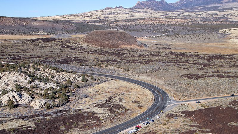
The cinder cone we’re going to hike is part of the Santa Clara volcanic field that consists of several cinder cones. The one included in this hike is part of Snow Canyon State Park and doesn’t really have an official name. It’s referred to as Diamond Valley Cinder Cone on Google Maps. Other maps simply refer to it as “Cinder Cone”.
About a half mile north of the cinder cone with the trail is another cinder cone. More on this cinder cone in a moment.
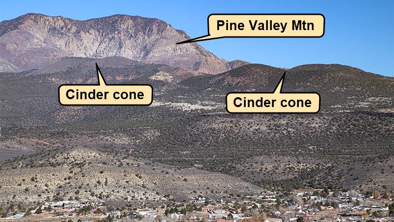
The other cinder cones in the Santa Clara volcanic field are closer to Pine Valley Mountain. They don’t look like typical cinder cones and are more rounded because they’ve erupted longer ago compared to the cinder cones next to the highway. See our video above that explains more about these cinder cones, what they look like, and the large basalt flows they created that reach all the way down into St. George.
Pictures
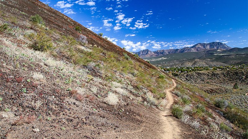
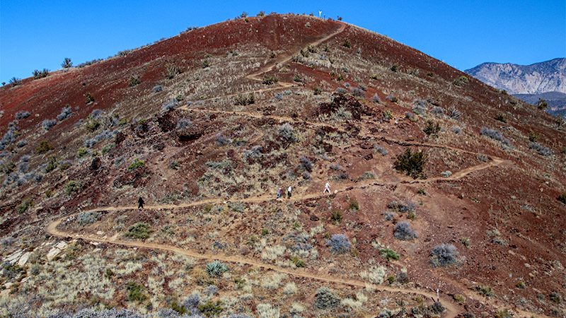
Below are some pictures of what you will see along the way.
Getting There
Getting to the trailhead to start this hike is easy. From anywhere in St. George, get yourself on Highway 18, which is called Bluff Street in town, and head north. The 4-lane highway will climb into the mountains north of St. George.
The trailhead is located on Highway 18, about one and quarter miles past Snow Canyon’s northern entrance, and just before the turn-off to Diamond Valley. It’s on the right side of the road. Look for the brown “cinder cone” sign that marks the trailhead. When parking or pulling out, be aware that traffic along Highway 18 moves very fast so be careful!
The Hike
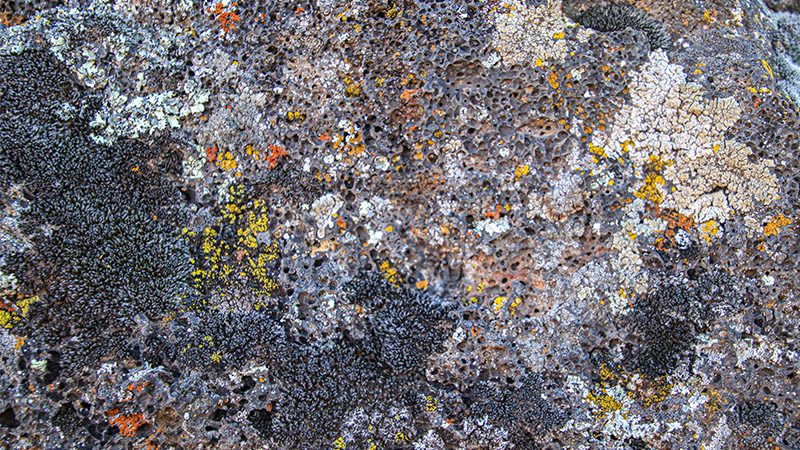
Start the hike from the obvious trail heading towards the cinder cone from the brown Cinder Cone sign. Instantly, you’ll be passing through a field of jumbled black basalt topped with colorful rock lichens. Lichens seem to love growing on basalt and are often seen at other volcanic sites. The trail heads clockwise around the cone to its south side (Highway 18 is on its north side).
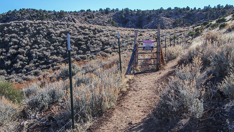
Soon you’ll pass a gate with a sign indicating that, if you continue through the gate, you’ll encounter “dangerous animals”. This is obviously a rancher’s effort to keep hikers out of their grazing lands. Although these are public BLM lands, ranchers lease them and employ hardworking dogs to protect their livestock and are by no means considered a “pet”. Don’t go through the gate and stay on the trail that passes to the right of the gate and fence.
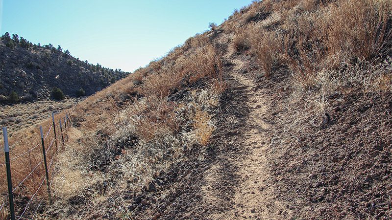
The trail begins to climb slightly on the cone’s east side offering nice views of the Pine Valley Mountains and Diamond Valley. As the trail summits a saddle on the south side, the switchbacks up the cone begin. These are the latest additions to the trail made by BLM and State Park staff. Before, you had to climb a steep trail to the cone’s summit while being careful not to slip on the loose cinder. Walking uphill on cinder is like walking on ball bearings. And even though the switchbacks helped, it’s still steep and you can easily lose your footing, so take it slow.
When you get to the summit, you’ll have fantastic views of Snow Canyon and the surrounding area! If you continue your hike, now going downhill and to the north side of the crater, you can then climb down into the center of the crater. When you’re done looking around, simply retrace your steps by following the same trail back the way you came.
Trip Map
To help plan your trip, use our interactive Google Map below. Be sure to switch to Satellite view to see the terrain.
Learn more about our maps.
Comments
Read and leave comments about this post on YouTube.
Support Us
Help us fill up our tank with gas for our next trip by donating $5 and we’ll bring you back more quality virtual tours of our trips!
Your credit card payment is safe and easy using PayPal. Click the [Donate] button to get started:
