Taylor Creek Hike in Zion
The Taylor Creek Trail that heads up into the Middle Fork of Taylor Creek, is located in the Kolob Canyons section of Zion National Park. It gives the hiker a sampling of what Zion is all about, along with a unique half-created double arch at the trail’s end.
The Taylor Creek Trail is located in the northern portion of Zion National Park in a region known as Kolob Canyons. The great aspect of this trail is that it is located in an area that is seldom visited because it is located a considerable distance from the national park’s main attraction: Zion Canyon. This gives the Kolob Canyons area the distinction of being less crowded than the main part of Zion.
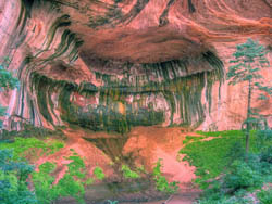

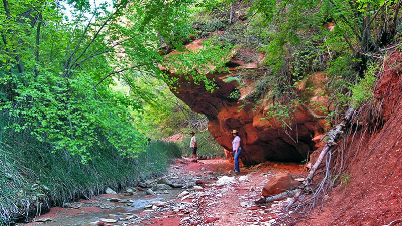
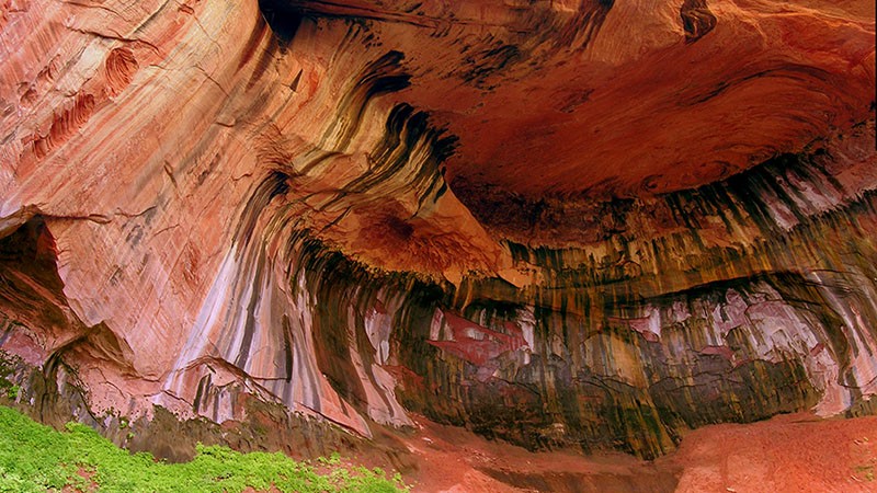
The hike up Taylor Creek ceremoniously ends at a unique geological feature named Double Arch Alcove. If you’ve visited a few of southern Utah’s national parks, then you’ve probably seen some of Utah’s iconic arches. Although not as popular, alcoves, which are partially-created arches, are unique features where wind or water eroded out sandstone to create a regress or partial cave into a sandstone wall. Another amazing aspect of the lower alcove in Taylor Creek is that it is quite colorful.
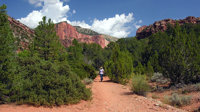
This hike takes you between the enormous sandstone “fins” known as the Kolob Fingers that make up much of the Kolob Canyons region of Zion. The paved road leading into this region from I-15 only accesses the edges of these fingers. There are several hiking trails that take you into the canyons between the fingers and Taylor Creek is one of them.
Getting There
Kolob Canyons is accessed from I-15. The exit is about 18.5 miles south of Cedar City (junction with S.R. 56). From Zion’s main entrance near Springdale, Kolob is a 38 mile drive through the small towns of La Verkin and Toquerville using S.R. 9 and 17 to get to I-15.
The entrance gate and visitor center to Kolob Canyons is just off I-15. Here you will need to pay the entrance fee which is the same as in the main section of Zion. While you are here, check in with the ranger to learn what condition the trail up Taylor Creek is in.
From the entrance, the parking lot for the trailhead will be seen on the left side of the road in about two miles. The trail begins on the east (up-canyon) side of the parking lot. Located here are several signs explaining what you will see along the hike.
More…
Pictures
Below are some pictures of what you will see along the way.
Panoramic view of the “fins” of Kolob Canyons where Taylor Creek is located
Shop for Zion items
Scroll down to see and shop for items related to Zion National Park from Amazon.
Books Recommended on Amazon
Virtual Tour on YouTube
The Trail
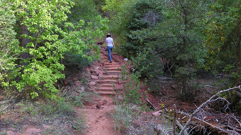
You will notice right away that this trail is well maintained. Nicely built stairs take you from the parking lot down to the level of Taylor Creek. The trail is well defined. This is not the only place where these nicely stairs exist, as more stairs will be encountered all along the trail.
The trail starts out at about 5,600 feet in elevation, which is quite high when compared to the main part of Zion. At the trail’s end at the double arch alcove, the elevation is about 6,000 feet. The vegetation you will encounter varies from standard plants growing along a stream, to tall fir trees growing deep in the canyon that was etched into the red sandstone by Taylor Creek.
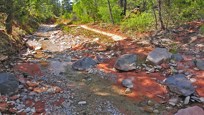
The trail constantly crosses Taylor Creek. When we hiked the trail in mid-September, judging from the banks of the creek, it seemed like it was about 30% full. Although there are plenty of rocks to step on to cross the creek, if the creek was 50-80% full, we would definitely be getting our feet wet! So if you try to hike the trail after a good rainstorm or during the springtime snowmelt, be prepared to negotiate a lot of water. Starting at about two thirds of the way into the hike, the trail pretty much follows the bottom of the creek bed. Bottom line, be sure to wear your waterproof hiking boots.
The maintained portion of the trail ends at the Double Arch Alcove. The distance to this point from the parking lot is about 2.5 miles. The first or lower alcove is unique in that it has been heavily stained by different minerals and, because of this oxidation, it’s real colorful. The second alcove is high above the first alcove and looks similar to other partially-created arches seen throughout southern Utah.
You can attempt to hike beyond the alcoves, but the trail is not will maintained and the vegetation becomes thicker. Besides, there isn’t that much to see beyond the arches.
Trip Map
Support Us
Help us fill up our tank with gas for our next trip by donating $5 and we’ll bring you back more quality virtual tours of our trips!
Your credit card payment is safe and easy using PayPal. Click the [Donate] button to get started:
Subscribe
Submit your email address and we’ll notify you when there is new content.
[subscribe2]
