Mojave Desert Aviation Tour
A road trip through the Mojave Desert doesn’t have to be all about looking at the scenery. It can also include visiting places where aviation history was made and is still being made today. We’ll take you on this easy road trip that stretches between Victorville and Palmdale and show you where aviation evolved and was transformed in the Mojave Desert during the last half of the 20th century.


Trip Specs
Length
Attractions
- Historical aviation sites
- Airplane boneyards
- Possibly see unique aircraft
- Old building ruins
- Vast desert landscapes
Difficulty
- Tricky to navigate
- No services
- 50% phone coverage
Elevation Gain
- Very little
Most people who travel the lonely roads through this desert north of Los Angeles don’t realize that this region was, and still is, used by aircraft manufacturers to build some of the most iconic aircraft ever built. That aircraft includes the Lockheed SR-71 Blackbird, the F-117 Nighthawk, the F-22 Raptor and U-2, Northrup’s B-2 Bomber, the Space Shuttle and the legendary XB-70 Valkyrie.
Trip Overview
On this trip we’ll also visit other aviation-related sites, including a few aviation boneyards, a dry lake where hobbyists play with their flying machines, and a place where commercial aircraft are put into long-term storage. This storage area was especially busy in 2020 during the Boeing 737 Max fiasco and the COVID pandemic.
Our direction of travel for this tour goes from east to west, from Victorville to Palmdale, which is approximately 50 miles, one-way. You can, however, take it in either direction. The trip is entirely on paved roads but it can be a bit tricky to navigate because there are so many turns. These turns follow a consistent pattern where, most of the time, when you get to the end of a main road, you turn right and then, about a half a mile further, you turn left.
SCLA
We start just outside of Victorville at the Southern California Logistics Airport (SCLA). Before 1992, this was George Air Force Base. Throughout its life, George AFB was mostly used by the Air Force to train pilots for fighter aircraft. Today, the base has been transformed into a unique aviation facility. It’s now used mainly by private businesses to paint commercial jetliners, dismantle old aircraft (a boneyard) and repurpose them for parts, convert old jumbo jets into firefighting aircraft, develop and test jet engines, to house an aviation training school, and many other things. But one of SCLA’s most noticeable uses is for storing unused aircraft.
SCLA is a lot of fun to drive through and explore. Its main entrance is found off Air Expressway on SCLA’s south side by driving north up Phantom West. Small roads leading off Phantom will take you up to the fence to see many of the parked aircraft up-close. More stored aircraft can be seen on SCLA’s north side. Find this area by driving around the west side of the SCLA property using Adelanto Road, then turn right onto Colusa Road.
When you’re done exploring SCLA, find your way to the beginning of El Mirage Road on the other side of the town of Adelanto. Do this by heading west on Air Expressway, right on Hwy. 395, left on Chamberline, right on Koala, then left (west) on El Mirage (notice that right/left turn pattern mentioned earlier). Reset your trip meter here.
El Mirage Dry Lake
At 5 miles, turn right to visit El Mirage Dry Lake. Here, you’ll find a haven for people that like to play with all kinds of things that move, both on the ground and in the air. For decades, this area has been used by car enthusiasts for drag racing and other types of motor fun. Who can resist testing the speed of their vehicle on a huge, flat, dry lakebed with no obstacles? The lakebed also attracts a lot of aviation hobbyists with various flying contraptions. There is a visitor center located at the entrance and an entrance fee to drive on the lakebed.
El Mirage Airport – Aviation Warehouse
Find your way back to El Mirage Road, reset your trip meter again and turn right. In 3.5 miles, turn right onto El Mirage Airport Road. There are two more places of interest for aviation enthusiasts here. One is an aircraft boneyard and the other is a facility for developing and testing unmanned aerial vehicles (UAVs), also known as drones. The boneyard is owned by Aviation Warehouse, a private company that sells old aircraft shells for various applications. Remember that both of these facilities are on private property. Do all your looking from the roadside and appreciate that these property owners allow you to come this close to such historic pieces of “junk” – oh, I mean “treasures”.
Back on El Mirage Road, you’ll pass by the small settlement of El Mirage itself. Don’t drive too fast or you might miss some interesting desert artifacts along this portion of the trip. Look for the many old, deserted buildings along with some prized private yard art.
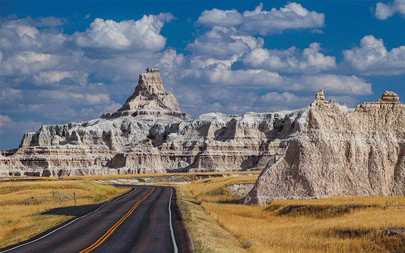
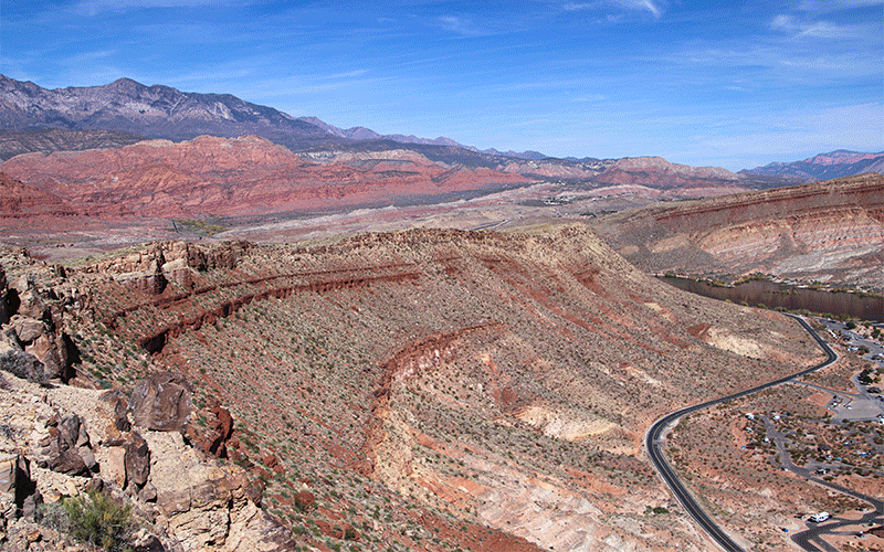
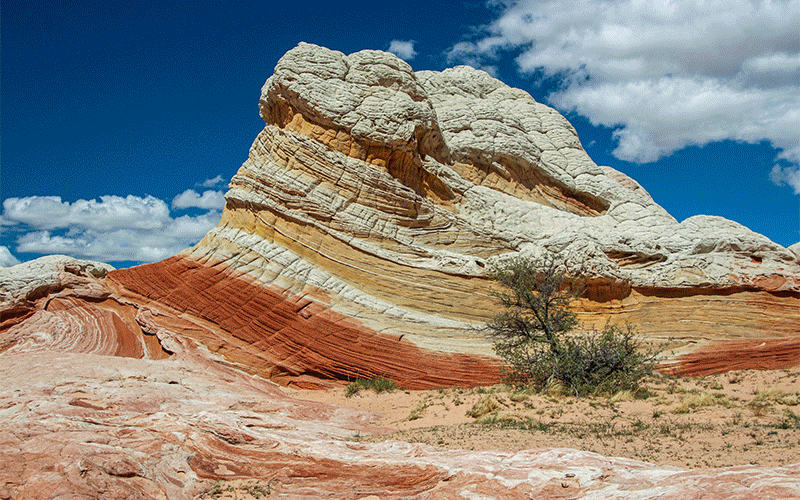
Pictures
Below are some pictures of what you will see along the way.


Wide Open Desert
After crossing the L.A. County line, El Mirage Road will end. If you look to the far left, you’ll see some industrial buildings about 3 miles away. This is another UAV facility operated by the same company as the one we stopped at previously. Before it was a UAV facility, it was used to test stealth aircraft. At the stop sign, turn right, then in half a mile, turn left onto Avenue “O” (there’s that turn pattern again).
This part of the trip passes through wide open desert, with views of the San Gabriel Mountains to the south and granite-laden hills to the west and north. The road goes through the community of Lake Los Angeles where you’ll encounter the road’s one and only traffic light. Further down the road, you’ll cross one of those granite-laden hills and pass by Alpine Butte Wildlife Sanctuary. On the road ahead, you’ll get your first glimpse of our next stop, Air Force Plant #42.
Air Force Plant #42
Ave “O” ends, so again, turn right, then turn left onto Ave “N”. Look ahead to see the runway of Plant #42 come into view. In about 4 miles, you’ll come to a 4-way stop. Go straight and in a short distance, the road makes a left turn. Stop here for a good panoramic view of the entire Plant #42 facility. See our virtual video tour (link below) that points out all the different facilities and what notable aircraft were built in each of those buildings.
Turning left here puts you onto 40th Street East. At the next intersection, turn right onto Ave “P”. At the next stop sign, turn right to go to the Neil Armstrong NASA facility that houses the airborne SOFIA telescope. Formerly, these buildings were part of Rockwell International and, before that, North American Aviation. Notable aircraft that were developed and built here were the XB-70 Valkyrie and B-1 Bomber.
Blackbird Airpark
Continuing west on Ave “P” a short distance, you’ll come to a traffic light. On the corner is Blackbird Airpark which is a worthwhile stop. There are three very famous airplanes, the U-2, SR-71 and A-12, that were partially built in the nearby buildings.
The A-12 and SR-71 look almost identical but have two different histories behind them. There are also a few dozen other aircraft to see here including the Boeing 747 that transported the Space Shuttles. Some aircraft are related to the Mojave Desert area and some are not.
Like SCLA, you can wander around the airport complex here but, because this is still an active Air Force Plant, security is tighter and many buildings can only be seen from a distance. To see the north side of this facility, take Ave P to Sierra Hwy, turn right, then turn right on Columbia Way.
Trip Map
To help plan your trip, use our interactive Google Map below. We recommend using a GPS mapping app, such as Gaia GPS, to help navigate your trip using your mobile device or phone.
Click the ad below to purchase Gaia GPS using our discount code which offers up to a 50% discount.

Learn more about our maps.
Support Us
Help us fill up our tank with gas for our next trip by donating $5 and we’ll bring you back more quality virtual tours of our trips!
Your credit card payment is safe and easy using PayPal. Click the [Donate] button to get started:
Subscribe
See all our comprehensive virtual tour guides at:
![]()