San Andreas Fault Tour on the San Francisco Peninsula
We’ve taken our readers on tours of the San Andreas Fault before, this time however, we’re going to take you on an urban back roads tour of where the fault can be seen along the San Francisco Peninsula. Our tour starts near Stanford University in Palo Alto, and ends where the fault plunges into the Pacific Ocean at Mussel Point near Daly City, just southwest of San Francisco.


Trip Specs
Length
About 36.5 miles one-way
Attractions
- Features of San Andreas
- Mountain scenery
- Great views of the Bay Area
- Open space areas
Difficulty
- Easy
- One very twisty road
Our Trip
Unlike other trips we’ve taken along the San Andreas, the landscape on the peninsula is mostly covered by vegetation. It’s also in a very urbanized and built-up area. This means that, traces of the fault, will be hard to see. The best way to see where the fault is located on the peninsula is to see it from aerial imagery. Using Google Earth is the best way to experience such imagery. Our virtual video tour on YouTube uses several animation sequences from Google Earth easily pointing out the fault’s location in relation to our tour. See the last paragraph to learn how to watch it.
Visiting San Francisco is always a fun and grand experience. After a day or two of the hustle and bustle of the big city, our tour will offer the visitor a view outside of it and into the nearby urban and rural areas. Public transportation does not service areas along our tour, so you’ll need your own vehicle to follow the route. The tour we explain here can easily be done in half a day.
Geology
If you’re interested in geology or just curious on how various landforms were created, points along the tour offer great vantage points to seeing what occurred over a very long time, as well as the process that is still going on today. The San Francisco Bay Area, including its neighboring mountains and the low spot where water from the ocean seeped in through the Golden Gate strait, were formed by the sliding actions of both the San Andreas and Hayward fault zones.
Both fault zones are parallel to each other, with the bay sitting between the two. The land (or Earth’s crust) between the two faults sank because of the stretching that occurred as the two faults pulled the land away from each other. On the opposite sides of each fault, land was compressed and pushed up, to form the mountains we see today. This process becomes more obvious when viewing our video tour on YouTube.
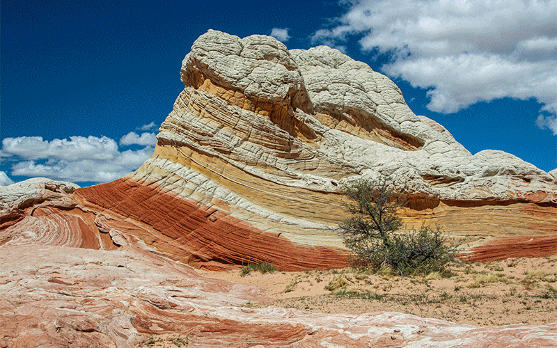
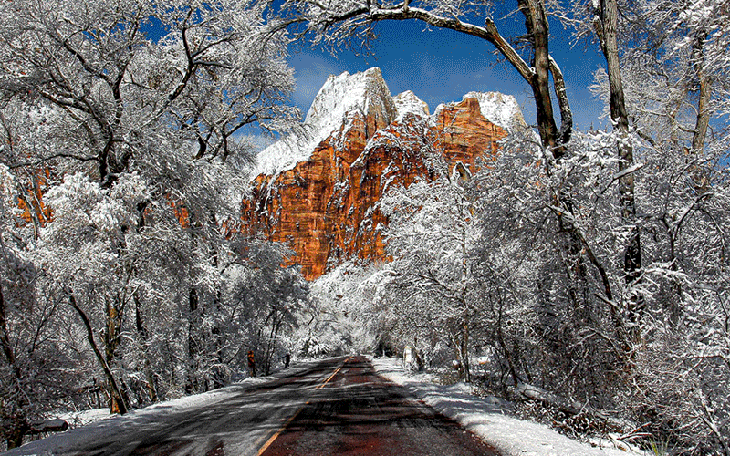
Pictures
Below are some pictures of what you will see along the way.


Tour Route
Our tour begins halfway down the peninsula (south of San Francisco) near Palo Alto. From anywhere in the Bay Area, take the 280 Freeway towards Palo Alto and take the Portola Valley / Alpine Road exit (exit 22). Head south on Alpine Road for 2.9 miles to the junction of Portola Road. Turn right. You will now be heading northwest, which is the same direction as the San Andreas Fault and the same direction for the remainder of the tour.
Windy Hill Open Space Preserve
Our first stop is the Windy Hill Open Space Preserve at 3.8 miles on the left. Drive down the driveway and find a place to park. Walk the short trail to a small pond. This pond, known as a sag pond, was created by the fault’s grinding action and has trapped water into the small depression here. You’ll notice that the base of the hills behind the pond trend in the same direction as the pond. That’s because the fault zone is at the base of these hills. Other trails allow you to explore the area where the fault zone lays inconspicuously.
Continue the drive on Portola Road. At 6.4 miles, be sure to turn left and continue on Portola Road, then a sort distance, bear left again. In less than a mile, Portola Road turns into Woodside Road. All along this portion of our tour, the fault zone is within a quarter of a mile to the left, but under private property and barely noticeable because of all the vegetation.
Skyline Blvd & View of the Bay
At 8.9 miles, turn left onto Kings Mountain Road. This road will cross over the fault and then climb the mountain ridge created by the fault. It is a very twisty road.
At 13.5 miles, make a hard right onto Skyline Blvd, Hwy 35. You will now be following Hwy 35 for the rest of our tour to Mussel Rock. Although the trees block your view for most of this segment of the tour, you will spot some great views of the Bay Area on the right. At about 18.4 miles, there is a brief open area where you can enjoy a great panorama and see where both the San Andreas and Hayward faults shaped the Bay Area.
Crystal Springs Reservoir
Continue on Hwy 35 as it descends from the hills and turns right onto Hwy 92. At 22 miles, Hwy 35 crosses over Crystal Springs Reservoir, which stores drinking water for San Francisco from Yosemite National Park. You’ll notice the reservoir is long and skinny. That’s because it sits in a trough that was gouged out by the San Andreas. For nearly 12 miles, this and another reservoir marks the exact path of the fault, which you’ll pass by while driving on Hwy 35.
Just after crossing the reservoir, turn left to follow Hwy 35. At 23.8 miles, you can take a short walk along the Sawyer Camp Trail to get a closer look at the reservoir and how the San Andreas shaped the landscape here.
Mussel Rock
Continue the tour by continuing northwest on Hwy 35. The best option at this point is to use your phone or GPS to navigate to Mussel Rock. It is labeled on most maps.
Park your vehicle at the end of Westline Drive and walk into the Mussel Rock Open Space area. Providing it’s not foggy, if you examine the landscape and hillside carefully, you’ll see that it’s very rugged and chaotic. This is all in the fault zone and this ground is constantly moving. This is a nice walk that leads down to the beach and gives you an opportunity to see where the mighty San Andreas heads into the ocean on its track north.
Trip Map
To help plan your trip, use our interactive Google Map below. Be sure to switch to Satellite view to see the terrain.

Learn more about our maps.
Support Us
Help us fill up our tank with gas for our next trip by donating $5 and we’ll bring you back more quality virtual tours of our trips!
Your credit card payment is safe and easy using PayPal. Click the [Donate] button to get started:
Subscribe
See all our comprehensive virtual tour guides at:
![]()